AI Clears Clouds From Satellite Images With 60% Boost
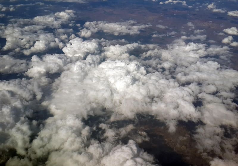
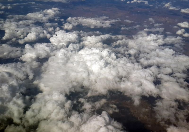
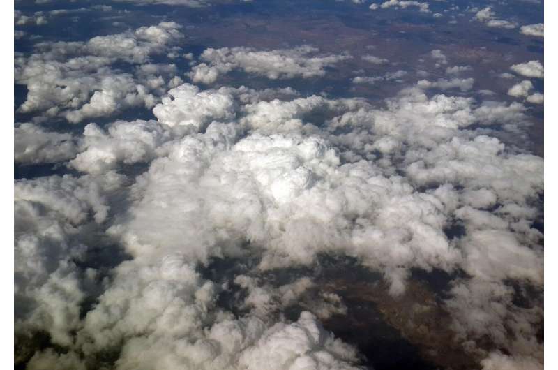
Scientists created an AI system that removes clouds from satellite photos, revealing hidden farmland, forests, and cities below with stunning clarity. The breakthrough could help track climate change and disasters in real time, especially in cloudy tropical regions.
Imagine trying to monitor a wildfire or check on crops when thick clouds block every satellite view. That frustrating problem just got a major solution.
Researchers developed SenseNet, an artificial intelligence system that essentially erases clouds from satellite images and reconstructs the landscape underneath with remarkable accuracy. Published in the International Journal of Bio-Inspired Computation, the technology treats clouds like structured noise that can be filtered out and removed.
Almost every optical satellite image captures some cloud cover, which has limited scientists' ability to track deforestation, measure crop yields, or respond to natural disasters. Traditional methods tried comparing multiple images over time or using physical models of how light scatters through the atmosphere, but they struggled with thick clouds or completely obscured areas.
Earlier machine learning systems improved things somewhat but produced blurry spots wherever clouds blocked the view. SenseNet changes that by using a nature-inspired algorithm modeled after the cooperative social behavior of coyotes and foxes, which helps the system avoid getting stuck on poor solutions during training.
The results speak for themselves. The system improved image quality by more than two decibels, which translates to almost a 60% improvement in signal clarity. It also reduced leftover errors compared to existing cloud removal techniques.
The Ripple Effect
The clearer images let scientists better map agricultural boundaries, track road networks, and monitor bodies of water. In persistently cloudy regions like the tropics, where data gaps have always been a challenge, this technology could transform climate monitoring and disaster response.
Emergency managers could get near-real-time satellite intelligence even during storms. Environmental scientists could track deforestation in rainforests that are almost always covered by clouds. Farmers in cloudy regions could get better crop assessments to improve yields and food security.
The system works by tuning its internal settings so efficiently that it pulls out details other methods miss entirely. When clouds previously hid critical infrastructure or environmental changes, decision-makers had to wait days or weeks for a clear view. Now they can see through the clouds almost immediately.
As climate adaptation becomes increasingly urgent, tools that expand our view of Earth from space become more valuable. This AI doesn't just remove an obstacle; it opens a window to understanding our changing planet in places we've struggled to monitor before.
The technology is ready now, turning cloudy confusion into crystal-clear insights.
More Images

Based on reporting by Phys.org - Earth
This story was written by BrightWire based on verified news reports.
Spread the positivity!
Share this good news with someone who needs it