Canary Islands App Lets Citizens Alert Others to Landslides
A new smartphone app in the Canary Islands turns everyday citizens into geological scouts who can report landslides and help save lives. The innovation is part of a Europe-wide project that's updating centuries-old risk management with real-time community power.
Fifteen-year-old Aythami never thought he'd learn to spot a landslide before it happens, but now he knows exactly what to do: move away fast and call for help.
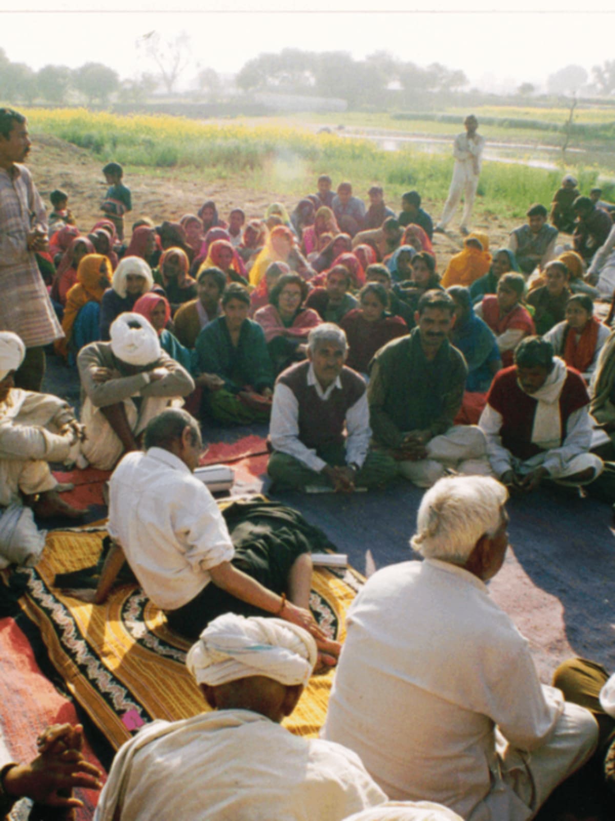
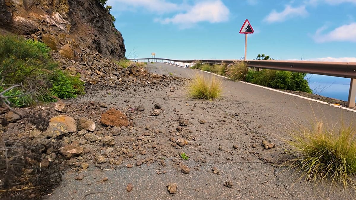
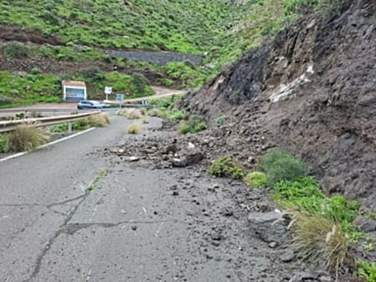
He's one of thousands of people on Spain's Canary Islands who are becoming citizen scientists through AGEO, a groundbreaking project that's changing how Europe handles geological disasters. The islands face near-daily rockfalls during rainy seasons, with some large enough to crush cars on tourist-packed roads.
The solution? Put the power of reporting in everyone's pocket. Residents can now snap geotagged photos of landslides or make quick phone calls through a special app that instantly alerts emergency teams and other drivers about road closures and danger zones.
On Gran Canaria's busiest tourist road, the GC-60, this matters more than ever. When rocks start tumbling, there's often no alternative route for travelers. Santiago Mejías Ramírez from the local fire service says the app helps them make split-second decisions about whether people should shelter in place or evacuate.
The system combines satellite data from Europe's Copernicus space program with boots on the ground. "Citizens are part of the emergency now," Mejías Ramírez explains. "We have people who act as our eyes in the towns and warn us of possible landslides, which allows authorities to take faster decisions."
Climate change has intensified rainfall and erosion along Europe's Atlantic coast, making landslide monitoring more critical than ever. The December and January rainy season brought almost daily rockfalls to the islands, according to emergency officials.
The Ripple Effect
AGEO brought together experts from five European countries, Portugal, Spain, France, the United Kingdom, and Ireland, to strengthen cooperation between scientists, emergency responders, and everyday people. The project updated outdated landslide maps and created new ones showing exactly where rocks have fallen in three pilot zones.
Researcher Isabel Montoya Montes says the community engagement transformed public awareness. People now understand how landslides work, why they happen, and most importantly, how they can help prevent tragedies.
The education reaches into classrooms too. High schoolers like Aythami learn about seismic activity and watch demonstrations of drones equipped with infrared cameras and rescue equipment. These students are growing up knowing their island's risks and how to respond.
The €3.2 million project, 75% funded by the European Union, recently won two REGIOSTARS Awards recognizing excellence in EU-funded innovation. Similar pilot projects are running in La Palma and El Hierro, with the model ready to expand across vulnerable coastal regions.
When the next storm hits and rocks begin to fall, thousands of trained eyes will be watching and ready to help keep their neighbors safe.
More Images
Based on reporting by Euronews
This story was written by BrightWire based on verified news reports.
Spread the positivity!
Share this good news with someone who needs it