Chile Tool Shows Every Minute Counts in Tsunami Evacuation
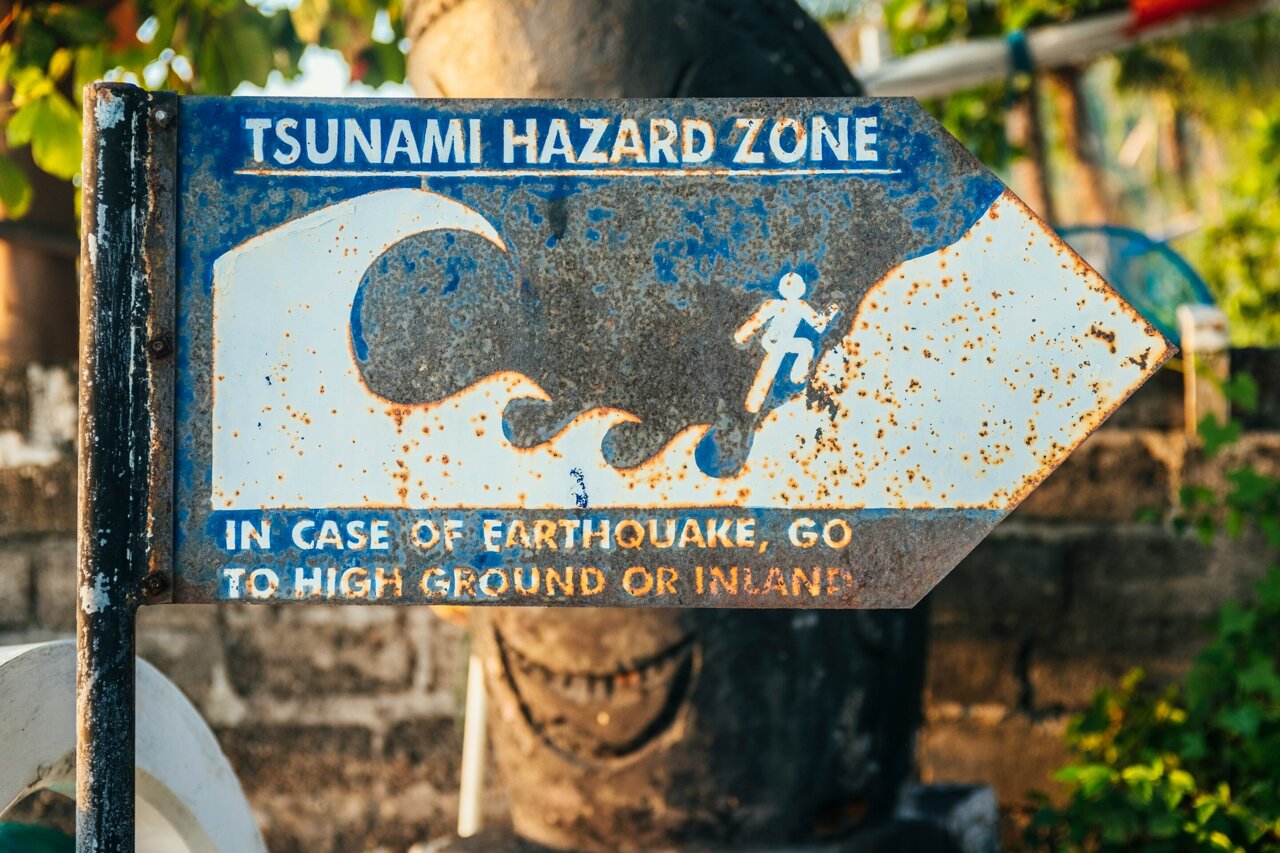
Chilean researchers created a low-cost tool that reveals a startling truth: delaying tsunami evacuation by just eight minutes can mean the difference between life and death. When drill participants saw videos of virtual tsunamis overtaking their own walking paths, the collective gasp in the room said everything.
Imagine walking your regular route to safety during a tsunami drill, confident you know the way. Now imagine watching a video later that shows water would have caught you before you reached high ground.
That's exactly what happened to evacuation drill participants in Viña del Mar, Chile. Researchers Alejandra Gubler and Matías Carvajal created a simple but powerful tool that combined GPS data from real people with tsunami simulations, revealing hard truths about coastal evacuation.
The results were dramatic. Out of 119 evacuation routes tested, 100 would lead to safety if people started moving immediately after an earthquake. But wait just eight minutes for an official warning, and only 49 routes worked. Wait 12 minutes, and only three people would survive.
"In near-field settings like central Chile, where the tsunami can reach the coast within minutes of the earthquake, that margin is very small, so every minute really counts," Gubler explained.
The researchers tracked university students during drills between 2022 and 2026, recording their movements as they followed official evacuation routes. They then overlaid this data with time-dependent tsunami models showing exactly when and where water would arrive.
What made the research truly powerful wasn't the data itself. It was what happened when they showed participants videos of their own paths being swallowed by simulated waves. "You could hear a general 'oooohhh' across the room," Gubler said. "That reaction showed us how much the videos captured their attention, in a way that a graph or a curve rarely does."
The team also discovered something surprising about neighboring routes. In one corridor, 91% of people would safely evacuate starting eight minutes after an earthquake. Just 200 meters away, only 13% would make it with the same delay.
Why This Inspires
This research transforms abstract danger into something people can see and feel. Traditional evacuation maps show where to go but not whether you'll make it in time. By adding that crucial time dimension, these Chilean researchers gave coastal communities something invaluable: clarity about what actually works.
The tool costs little to create but could save countless lives. It works anywhere coastal communities conduct evacuation drills and can model local tsunami scenarios. Communities worldwide facing similar risks can now see their own vulnerabilities and adjust accordingly.
The emotional impact of watching your own evacuation fail in simulation is powerful enough to change behavior. Sometimes the best way to inspire action isn't through fear, but through understanding exactly what's at stake and when every single second counts.
Coastal communities now have a clear message: don't wait for the warning, start moving with the shaking.
More Images


Based on reporting by Phys.org - Earth
This story was written by BrightWire based on verified news reports.
Play Today’s BrightWire Positive Mini Crossword & Word Game
Keep your mind sharp with our free 5-minute uplifting daily crossword and positivity word puzzle.
Spread the positivity!
Share this good news with someone who needs it