China's Lightning Satellite Aids Nepal Flood Rescue Efforts
A powerful weather satellite is tracking dangerous storms over Nepal in real time, helping rescue teams stay safe after a devastating glacier collapse. The technology spots lightning 500 times per second to predict flash floods and landslides before they strike.
When disaster struck Nepal last month after a massive glacier collapse, rescuers rushing to help faced a new danger: deadly storms that could trigger more floods and landslides at any moment.
Now China's newest weather satellite is watching the skies above the rescue zone, giving teams crucial minutes to take cover before the next wave of extreme weather hits. The Fengyun-4C satellite circles 22,000 miles above Earth, scanning the region with technology so powerful it captures 500 images every single second.
At the heart of this early warning system is a Lightning Mapping Imager that processes 30 gigabits of data per second. Engineers compare it to watching 30 high-definition movies at once and being able to spot every traffic light in each frame.
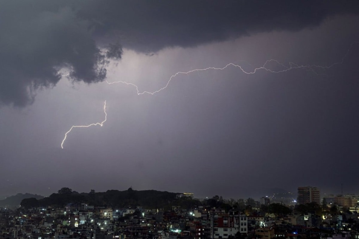
Lightning might seem like just a weather spectacle, but it's actually nature's warning system. Where lightning intensifies, storms are growing stronger. The patterns reveal how fast dangerous weather is moving and when it might unleash flash floods or deadly mudslides onto the teams working below.
After the August 26 glacier disaster, Beijing and Nepal set up a cross-border emergency monitoring system to protect rescue workers. The satellite combines its lightning tracker with cloud animations, rainfall estimates, and data from other satellites to create a complete picture of approaching threats.
The Fengyun-4C, launched just last December, represents the most advanced storm-tracking technology ever placed in orbit. Positioned permanently above the equator, it keeps constant watch over the region where rescue operations continue.
The Ripple Effect
This rescue operation is showcasing how space technology can save lives on the ground. The same satellite system protecting Nepal's rescuers will soon help farmers plan harvests, airlines route around turbulence, and communities prepare for severe weather across Asia.
Real-time weather intelligence means rescue teams can work confidently, knowing they'll get advance warning before conditions turn dangerous. Every minute of early warning could mean the difference between safety and catastrophe for those racing to help survivors.
As climate change makes extreme weather more common, tools like this become even more valuable. Nations sharing their most sophisticated technology during disasters shows what's possible when countries work together on solutions that protect everyone.
Rescue teams continue their work today with eyes in the sky keeping watch.
More Images
Based on reporting by South China Morning Post
This story was written by BrightWire based on verified news reports.
Spread the positivity!
Share this good news with someone who needs it