$1,000 Drone Tracks Ocean Pollution in 30 Seconds
Texas researchers discovered a breakthrough way to track ocean currents using affordable drones and wave patterns, making oil spill response faster and safer. The innovation costs 90% less than traditional methods and works without touching contaminated water.
When oil spills into the ocean, every second counts in predicting where pollution will spread. Texas A&M researchers just made that critical work faster, cheaper, and dramatically easier.
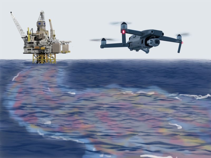
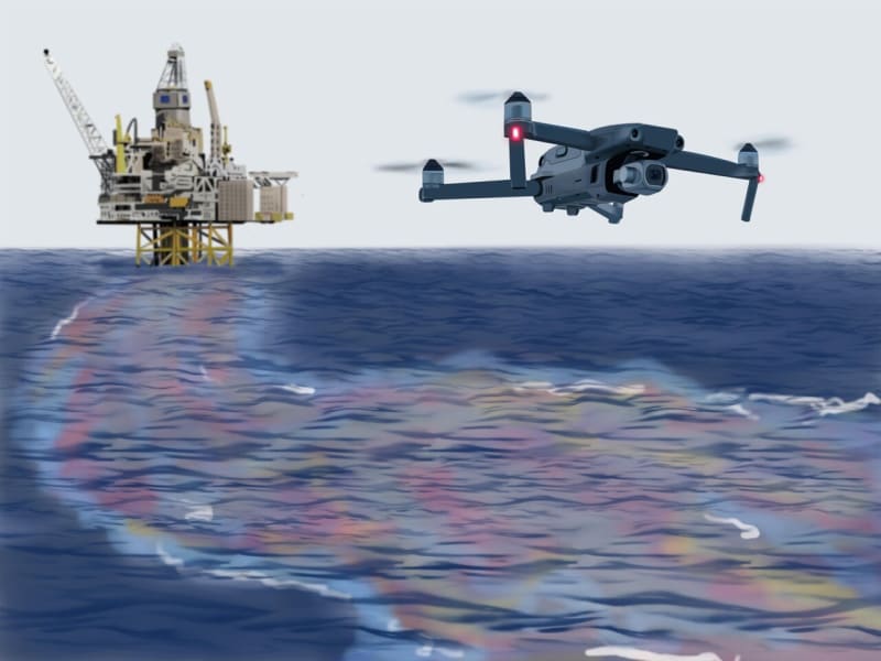
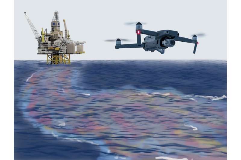
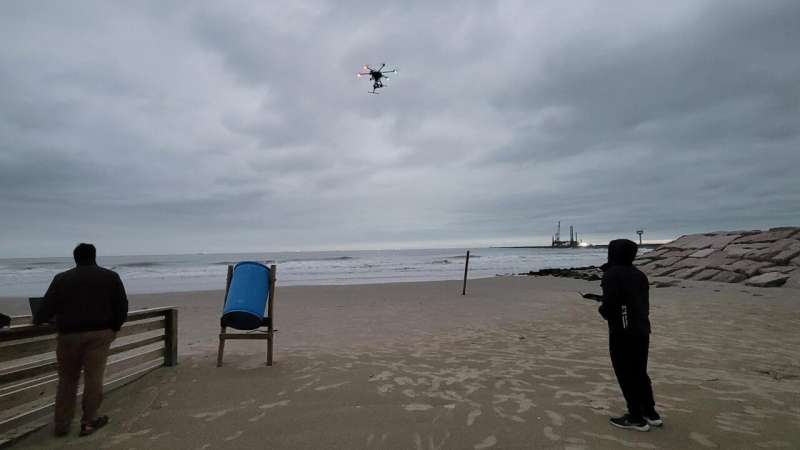
The team developed a method that uses consumer-grade drones and wave pattern analysis to map ocean currents in just 30 seconds. The breakthrough could transform how emergency responders track pollutants during coastal disasters.
Dr. Scott Socolofsky and Dr. Kuang-An Chang tested three different approaches for measuring surface currents over large areas. Traditional coastal radar systems cost tens of thousands of dollars and stay locked in one location, creating blind spots during emergencies.
Two alternative methods they tested relied on tracking visible features on the water's surface. Both failed frequently because of breaking waves, sun glare, and the dangerous work of deploying floating markers near contaminated waters.
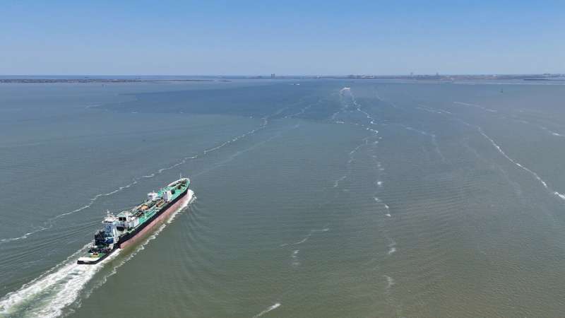
The winning technique analyzes how wave patterns shift as they move with or against ocean currents. Using the Doppler effect, researchers calculate current speed and direction from short aerial videos alone, with no physical contact with the water required.
"This has the potential to change the way we measure near-surface velocity fields in the ocean," said Socolofsky, who holds the J. Walter "Deak" Porter '22 Chair in Civil and Environmental Engineering. The method works in most lighting conditions and covers wide areas quickly.
The cost difference matters enormously for emergency response. A drone capable of this current mapping costs around $1,000, compared to fixed radar systems that require major infrastructure investments.
The Ripple Effect
The National Oceanic and Atmospheric Administration already forecasts currents during oil spill responses to guide cleanup crews. This new approach gives them a tool that's mobile, affordable, and deployable within minutes of a disaster.
The technique requires no tracer materials that could add to water contamination. Responders can fly a drone over affected areas, capture 30 seconds of video, and let software process the wave patterns to reveal where pollution will travel next.
The research team published their findings in the Journal of Atmospheric and Oceanic Technology. They're now working with graduate and undergraduate students to expand the technology's reach.
Future development includes adapting the system for nighttime measurements using infrared cameras. The team also wants to apply the technique to detecting oil on beaches, analyzing ship wakes, and monitoring the stability of coastal infrastructure.
Researchers hope to deploy the approach near ports, offshore platforms, and sensitive ecosystems where rapid current data could prevent environmental disasters. The technology could also improve rip current detection, making beaches safer for swimmers.
Sometimes the most powerful innovations come from making essential tools accessible to everyone who needs them.
More Images
Based on reporting by Phys.org
This story was written by BrightWire based on verified news reports.
Spread the positivity!
Share this good news with someone who needs it