Gabon Village Uses Mapping to Save Ancestral Forest
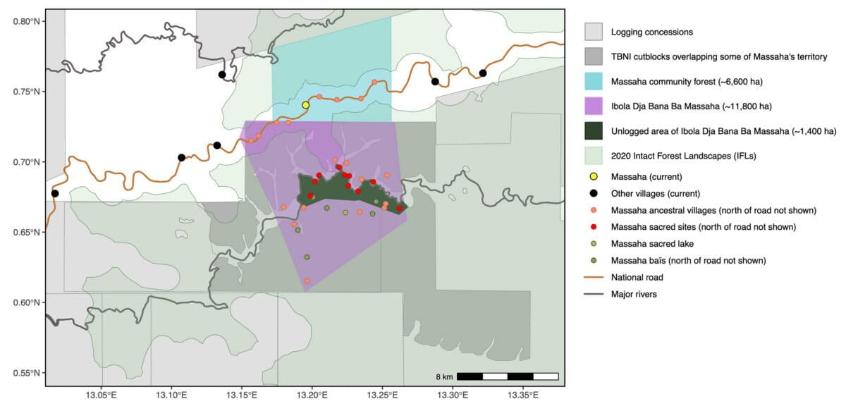
A community in Gabon created their own map revealing 15 ancestral villages and sacred sites invisible to official records, stopping industrial logging and protecting 11,800 hectares of rainforest. Their success shows how local knowledge can reshape conservation.
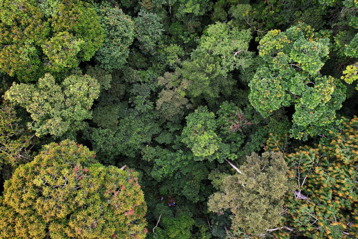
When satellite images showed "pristine, untouched" forest in northeastern Gabon, the people of Massaha saw something completely different: their home for generations.
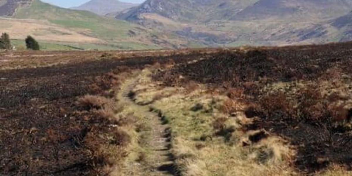
The village faced industrial logging in a rainforest they call Ibola Dja Bana Ba Massaha, meaning "the reserve of all Massaha's children." For generations, families hunted, fished and farmed there, visiting sacred lakes and ancestral village sites beneath the canopy.
But official maps showed none of this. Colonial records from the 1800s marked only a handful of villages in the region, and modern conservation maps labeled the area as empty wilderness.
So the community decided to make their own map. Using participatory mapping tools, villagers projected satellite images onto a wall while elders identified former settlements, sacred clearings and fishing sites from oral histories.
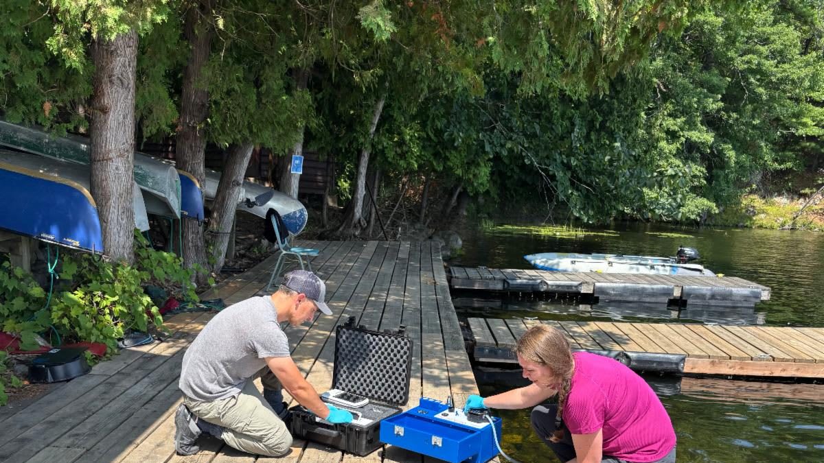
Then residents walked the forest with GPS units to confirm each location. The final map documented 15 ancestral villages across 11,800 hectares, compared to just a few villages on colonial maps.
The discrepancy revealed a bigger problem. Global conservation datasets track industrial activity visible from space but miss what happens under the canopy: hunting territories, sacred groves and small-scale disturbance.
When Massaha organized patrols, they found logging in areas where satellite alerts detected nothing. The technology designed to protect forests was missing critical details only locals could see.
The Ripple Effect
Massaha turned their map into advocacy. They presented evidence of long-term occupation to argue their forest should be removed from the logging concession and recognized as a community-conserved area.
After international attention and pressure, Gabon's environment minister visited the territory. He saw firsthand the traces of former villages and sacred sites the logging threatened.
The government halted logging and ordered the company to withdraw. The victory sparked broader discussions in Gabon about recognizing "territories of life," lands conserved and managed by local people rather than governments or corporations.
The concept is gaining global attention as countries commit to protecting 30% of land and seas by 2030. Massaha's experience suggests those commitments may depend as much on local knowledge as satellite data.
Recent research comparing official maps with Massaha's community-created version confirms what residents always knew: forests that appear empty on paper are actually layered with history and meaning. Maps shape how landscapes are understood and governed, and for too long, the wrong maps guided the decisions.
Now one village has shown there's a better way.
More Images


Based on reporting by Mongabay
This story was written by BrightWire based on verified news reports.
Spread the positivity!
Share this good news with someone who needs it