Ghana's Surveyors Unite to Fight Land Disputes, Fraud
Ghana just launched a new institution bringing every type of surveyor under one roof for the first time. The move aims to end land disputes, stop fraud, and restore respect to a profession that's been building the country since colonial times.
Surveyors in Ghana are joining forces to solve some of the country's biggest development challenges, from land disputes to illegal mining.
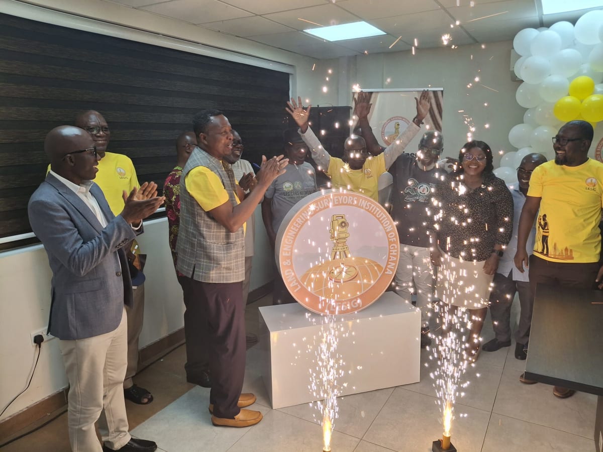
The Land And Engineering Surveyors Institution of Ghana launched this week in Accra, uniting land surveyors, engineering surveyors, geomatics engineers, cartographers, and other mapping professionals for the first time. For decades, these experts have worked separately despite sharing the same mission: accurate measurements that keep development projects on track and property boundaries clear.
Stephen Djaba, a licensed surveyor and keynote speaker at the launch, put it bluntly. "Surveyors have always been the first on site and the last to leave, yet the profession has, over time, lost visibility, coordination, and a unified voice," he said.
The fragmentation has real costs. Unqualified practitioners have entered the field, threatening the quality of national projects. Land boundary disputes drag on because there's no single authority to settle them. And illegal mining operations continue partly because surveying expertise isn't being fully leveraged.
The new institution tackles these problems through seven specialized commissions covering everything from infrastructure development to water body mapping. One commission will focus specifically on supporting efforts to stop illegal mining. Another will transform spatial data into planning tools the government can actually use.
The Ripple Effect
The impact reaches far beyond the surveying profession itself. Better land boundary management means fewer disputes between neighbors and communities. Accurate resource measurement helps ensure mining companies extract what they're authorized to take, nothing more. Improved spatial data systems give city planners the information they need to build sustainable neighborhoods.
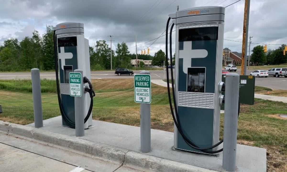
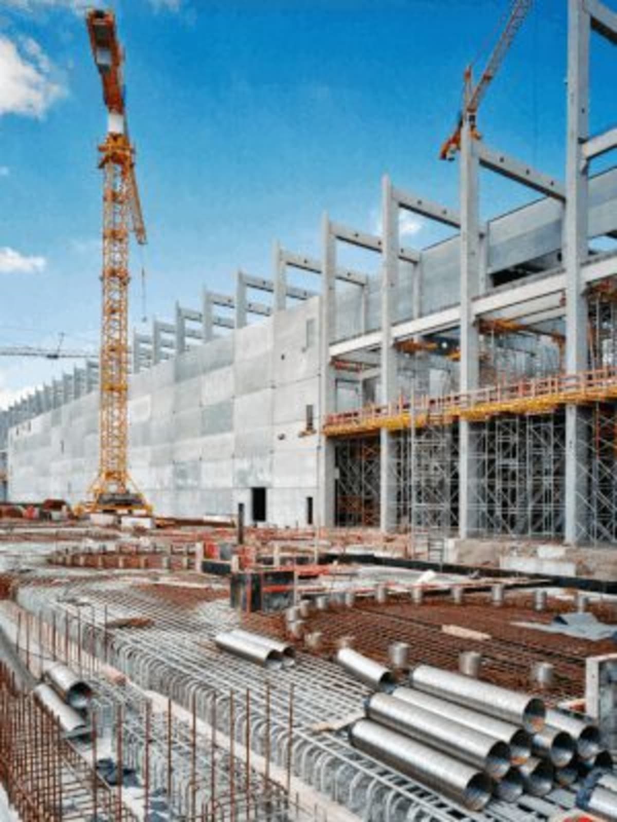
The institution also restores dignity to a profession that's shaped Ghana since before independence. Surveyors laid the groundwork for the country's roads, railways, and public infrastructure. They've been essential to every major construction project, yet their contributions often go unnoticed.
Now they'll have a unified platform for advocacy and a stronger voice in national development conversations. The commissions create what Djaba calls "a complete ecosystem" making the institution a true technical authority on land governance and infrastructure.
Djaba called on all surveying professionals to join and contribute actively. The institution's success depends on bringing scattered expertise together under one roof, creating standards that protect both the profession and the public it serves.
A strong surveying profession means more than accurate maps: it's the foundation for fair land ownership, efficient infrastructure, and cities built to last.
Based on reporting by Google News - Ghana Development
This story was written by BrightWire based on verified news reports.
Spread the positivity!
Share this good news with someone who needs it