NASA Launches 6 New Earth Missions to Protect Communities
NASA is deploying six new aircraft-based science missions across the U.S. to study wildfires, air quality, melting glaciers, and landslides. These flying laboratories will help forecasters and city planners protect communities from natural disasters and pollution.
Imagine wildfires so powerful they create their own thunderstorms, complete with lightning that sparks new blazes below. NASA scientists are about to chase these rare "fire clouds" across the American West, and what they learn could save lives.
Six new NASA Earth science missions are taking flight this summer, sending hundreds of researchers into the skies over North America. From Alaska's retreating glaciers to Atlanta's smoggy air, these flying laboratories will gather data that satellites and ground sensors simply can't capture alone.
The first mission lifting off is INSPYRE, led by the Naval Research Laboratory from Colorado. Their target is pyrocumulonimbus clouds, towering fire-generated storms that blind pilots and spark dangerous new wildfires. NASA's high-altitude ER-2 aircraft will fly directly over these violent weather systems, carrying advanced infrared wildfire trackers to map the storms as they develop in real time.
Over America's heartland, the FarmFlux mission will measure methane, ammonia, and other emissions rising from farms and agricultural lands between the Midwest and California's Central Valley. These understudied pollutants affect both human health and global climate patterns.
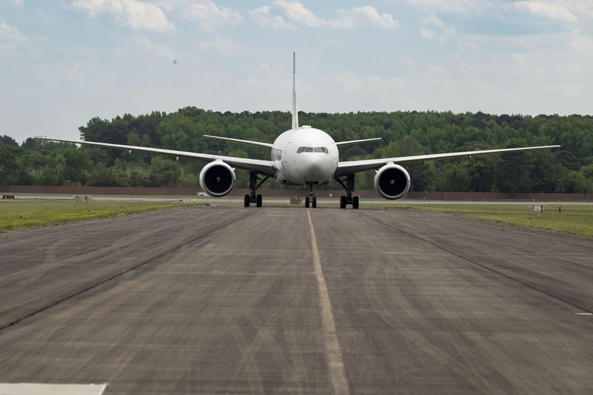
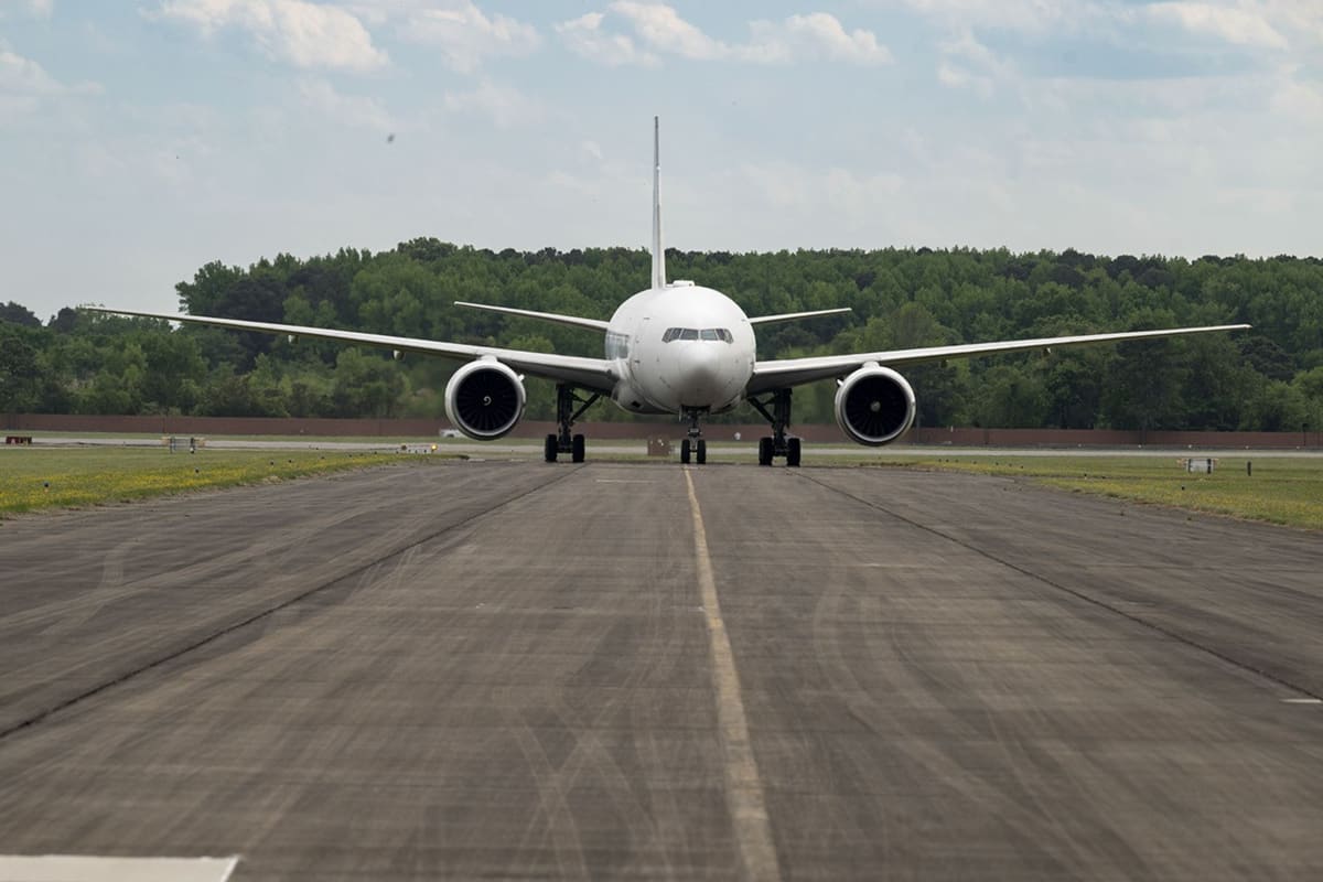
Meanwhile, two cities with very different air quality problems will get special attention. The HAMAQ mission will deploy two aircraft over Atlanta and Mexico City, measuring pollution at different altitudes to understand how weather and terrain trap dangerous particles. NASA's newly acquired 777 science jet will map pollution from above while a P-3B aircraft flies low to capture direct measurements.
The Ripple Effect
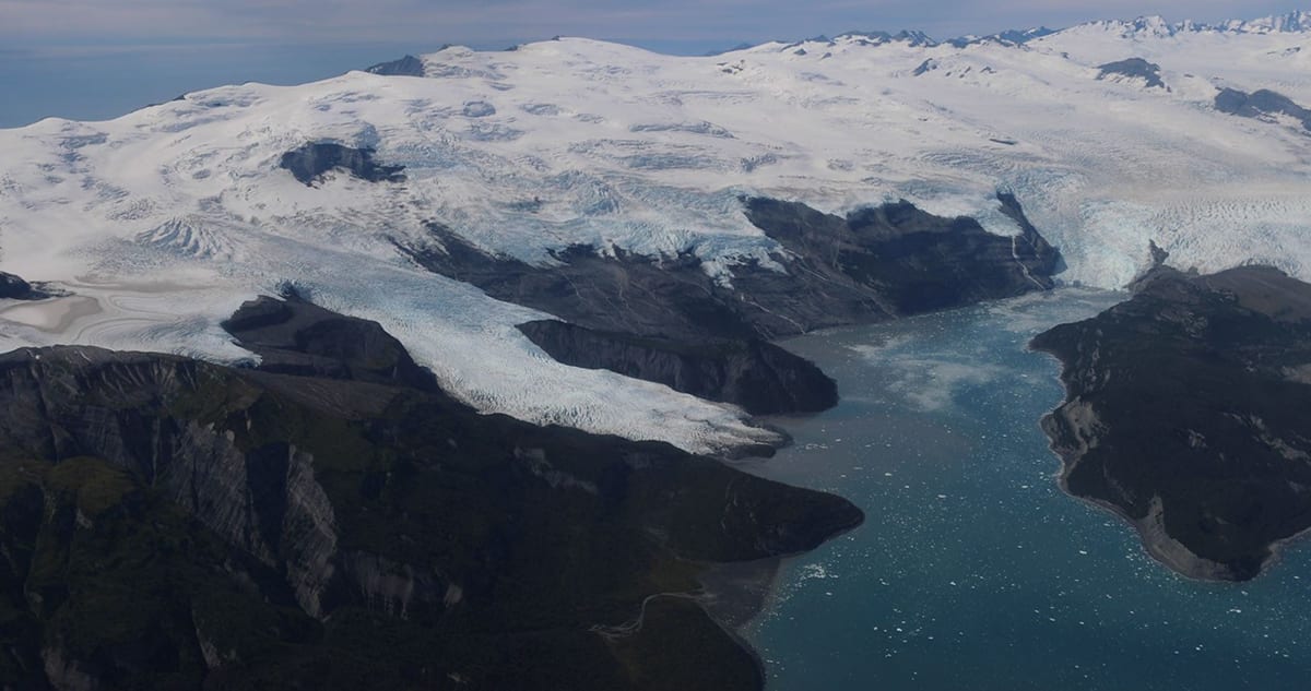
In the Arctic, where temperatures are rising twice as fast as the rest of Earth, the Snow4Flow campaign will track how quickly Alaska's glaciers are melting and contributing to sea level rise. A modernized World War II aircraft will sound the frozen depths of hundreds of glaciers across Alaska, Canada, Greenland, and Norway.
These aren't just research projects. The data collected will fill critical gaps in computer models used by weather forecasters, emergency responders, and city planners making decisions that protect entire communities.
Airborne sensors serve as the essential bridge between satellites overhead and instruments on the ground, capturing details that neither can see alone. For wildfire-prone regions, farming communities, and Arctic towns facing rapid change, these missions represent something powerful: science that flies to meet people where they are.
Hundreds of scientists and pilots from NASA, the U.S. Navy, and universities will mobilize over the next several years, turning the skies above America into a massive laboratory for understanding and protecting our changing planet.
More Images
Based on reporting by NASA
This story was written by BrightWire based on verified news reports.
Spread the positivity!
Share this good news with someone who needs it