NASA Satellites Help Maine Oyster Farmers Pick Best Sites
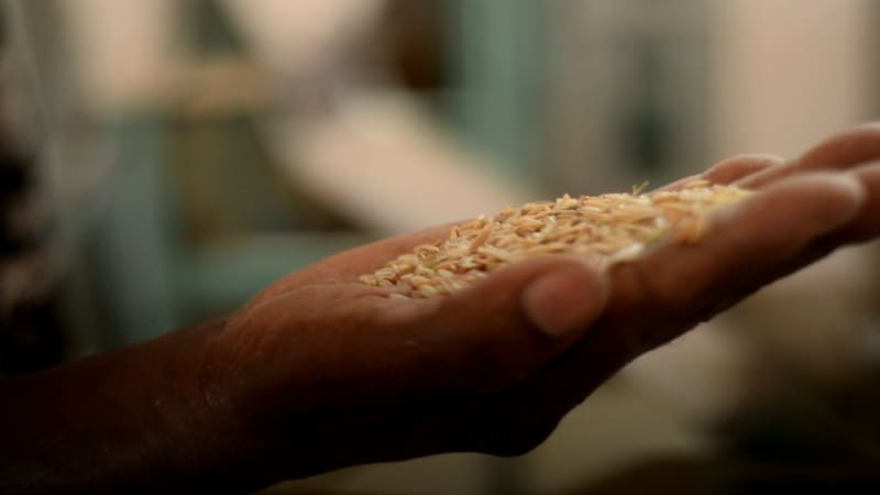
Maine oyster farmers are using NASA satellite data to choose where to grow their shellfish, turning years of space observations into tools that predict growth rates and reduce financial risk. Luke Saindon used the technology to find his perfect spot, and four years later, his farm is thriving with faster-than-average oyster growth.
When Luke Saindon decided to start an oyster farm in Maine, he did something no farmer could have done a generation ago: He checked NASA satellite data from space.
"Starting a farm is a big venture," said Saindon, director of The World Is Your Oyster farm in Wiscasset, Maine. "If you choose the wrong spot, you can blow through a lot of money without ever bringing oysters to market."
Using a tool created by University of Maine researchers, Saindon examined satellite maps showing water temperatures and food levels along Maine's 3,400-mile coastline. The data pointed him to a wide, shallow bay near his home where conditions looked ideal.
Four years later, his oysters are thriving with growth rates faster than average. The satellite-guided choice saved him from years of wasted investment and uncertainty.
Now that approach has become the foundation of groundbreaking research. Scientists Thomas Kiffney and Damian Brady published a study this month showing how NASA's Landsat satellites can predict exactly how fast eastern oysters will reach market size.
The technology matters because choosing the wrong site means years of lost time. "It takes two to three years to get your permit, and then two years for oysters to reach market," Brady explained. "If you've chosen the wrong site, you're four years in the hole right off the bat."
Maine's complex coastline makes farming decisions especially tricky. Water temperature and depth can shift dramatically within just a few miles, and for cold-blooded oysters, those differences translate into months of growth time.
Landsat satellites capture details as small as 98 feet across, revealing subtle temperature differences between neighboring coves that other satellites miss. The researchers analyzed 10 years of data to build seasonal temperature patterns for every spot along the coast.
They combined that with food availability estimates from European satellites, measuring the plankton and particles oysters filter from water. When field-tested against seven years of real farm data, the model proved remarkably accurate.
The Ripple Effect
Maine's oyster industry has exploded over the past decade, growing 78% in value from $2.5 million to more than $10 million between 2011 and 2021. As more farmers enter the water, tools that reduce risk and improve planning become essential for the industry's continued success.
The University of Maine team is now developing an online tool that will put this satellite science directly into farmers' hands. Instead of guessing where to invest years of work and thousands of dollars, growers will see data-backed predictions of growth rates across the entire coastline.
"This is an example of how NASA's Earth science program supports our nation," said Chris Neigh, the Landsat project scientist at NASA's Goddard Space Flight Center. "We collect global data, but its value grows when it's used locally to help communities work smarter."
Space technology is helping oyster farmers do exactly that, one thriving farm at a time.
More Images


Based on reporting by NASA
This story was written by BrightWire based on verified news reports.
Spread the positivity! 🌟
Share this good news with someone who needs it