NASA Tests Priority Lanes for Emergency Drones in Texas
When fire trucks race through traffic, cars pull over. Now NASA is making sure emergency drones get the same treatment in crowded skies.
Imagine a police drone searching for a missing child, but it can't get through because delivery drones are clogging the airspace. NASA just proved that problem has a solution.
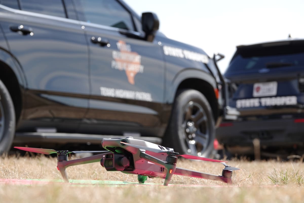
Researchers from NASA's Ames Research Center teamed up with Texas police, fire departments, and the Federal Aviation Administration in February 2026 to test something that sounds like science fiction but is becoming very real. They created a system that lets emergency drones cut through commercial drone traffic just like ambulances navigate busy roads.
The tests happened in North Texas, one of the few regions where commercial delivery drones already fly daily. When a public safety drone launched during the exercise, nearby delivery drones automatically moved aside. The system worked even when multiple emergency agencies responded to simulated crises at the same time.
The hard part wasn't just creating air lanes. Emergency crews rarely fly predictable routes like delivery drones do. During a pursuit or search operation, they need to change direction suddenly without causing midair chaos.
To test this, researchers had a drone follow an officer driving erratically in an SUV, simulating a car chase with a fleeing suspect. The system tracked these unpredictable movements and kept commercial drones safely out of the way.
The Ripple Effect
This breakthrough arrives at the perfect moment. Delivery drones are expanding rapidly across American skies, and cities need to know their emergency services won't get stuck in digital traffic jams.
The technology also means faster response times for people in crisis. A fire department drone can reach a burning building in seconds to assess danger before crews arrive. A search and rescue drone can cover miles of wilderness in minutes. Every second saved could mean a life saved.
Texas agencies from Fort Worth, Arlington, and Irving participated alongside drone management companies and federal regulators. They're building the framework that will keep skies safe as they get busier.
"By working closely with industry and federal partners, we're helping build the data, tools, and traffic management frameworks needed to ensure the future of drone operations is safe, responsible, and scalable for everyone," said Shivanjli Sharma, project manager at NASA Ames.
The skies above our communities are about to get crowded, but thanks to this work, help will always have a clear path.
More Images


Based on reporting by NASA
This story was written by BrightWire based on verified news reports.
Spread the positivity!
Share this good news with someone who needs it