New Crop Emissions Map Pinpoints Climate Solutions Globally
Scientists created the first detailed global map of farm emissions in over 20 years, revealing exactly where and how crops contribute to climate change. The breakthrough gives communities precision tools to cut emissions while feeding the world.
For the first time in more than two decades, scientists know exactly where farm emissions are coming from and how to stop them.
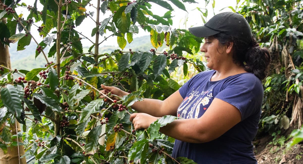
Researchers at Cornell University just published groundbreaking maps that track greenhouse gas emissions from croplands worldwide, zooming in to areas as small as 10 kilometers. The maps reveal which crops, which fields, and which farming practices create the most emissions, giving local communities the precision they need to fight climate change effectively.
The team combined satellite data, ground measurements, and historical records to create the most complete picture ever of agricultural emissions. In 2020, croplands released the equivalent of 2.5 gigatons of carbon dioxide, with four crops accounting for nearly three-quarters of the total: rice, maize, oil palm, and wheat.
Rice alone produced 43% of cropland emissions, mostly from flooded paddies in Asia. Oil palm emissions came primarily from drained peatlands, while wheat and maize released most of their greenhouse gases through synthetic fertilizer use in high-production areas.
The research revealed an important discovery: high emissions don't always mean bad farming. East Asia produces half the world's crop emissions but also feeds billions of people efficiently. Some African regions emit little but also produce less food than they could.
"It's really local people who have to act," said senior author Mario Herrero, a professor at Cornell's Ashley School of Global Development and Environment. The maps now give communities the exact information they need to target solutions.
The Ripple Effect
The detailed maps are already changing how countries approach climate action in agriculture. Instead of broad strategies that might hurt food production, communities can now apply precise fixes: rewetting peatlands for palm oil, adjusting water management in rice paddies, and optimizing fertilizer use where it matters most.
Lead researcher Peiyu Cao emphasized that solutions already exist in developed countries that balance low emissions with high productivity. The challenge is helping other regions adopt these proven techniques while considering their unique needs.
The data shows that different regions need different approaches. Asian countries with high productivity can focus on cutting emissions while maintaining food output. African nations can work on increasing yields while keeping emissions low from the start.
Mitigation funds are scarce, and these maps help decision makers invest wisely. Communities can now identify their biggest opportunities for reducing emissions without sacrificing the food security their populations depend on.
The maps represent a massive scientific collaboration, synthesizing decades of data into one accessible tool. Every country now has a clear starting point for addressing agricultural emissions at the local level, where real change happens.
This breakthrough puts the power to fight climate change directly in the hands of farmers, communities, and local leaders who know their land best.
Based on reporting by Google News - Emissions Reduction
This story was written by BrightWire based on verified news reports.
Spread the positivity!
Share this good news with someone who needs it