New Satellite Tech Tracks Canada's Hidden Mountain Drought
Scientists developed a breakthrough method to measure water stored in mountain snow, revealing a "creeping drought" affecting 86% of Canadians. The discovery could help millions prepare for water shortages before crisis hits.
📺 Watch the full story above
A team at Concordia University just gave Canada a powerful new tool to spot droughts before they become disasters.
Researchers developed a satellite-based system that tracks water stored in mountain snowpacks across 4.5 million square kilometers of Canada and Alaska. The method, called snow water availability, measures snow depth, density, and coverage using climate data analyzed through 18,000 grid points covering areas roughly 25 by 25 kilometers each.
What they found surprised everyone. While total snowfall across Canada has actually increased, the snow that matters most is disappearing fast.
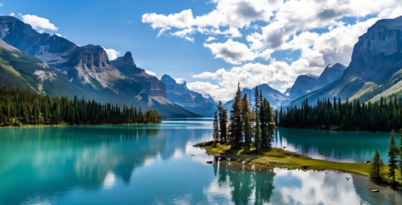
The Canadian Rockies, which make up just three percent of the country's land, showed sharp drops in usable snow water over the past two decades. These mountains feed major rivers that supply water to 86% of Canada's population across a quarter of its land mass.
"This is a creeping drought, a drought that can be very difficult to detect until you are in the middle of a crisis," says Ali Nazemi, associate professor at Concordia's Gina Cody School of Engineering and Computer Science. Past droughts in southern Ontario and Quebec in 2012 and western Canada in 2015 showed how quickly water shortages can spiral.
The hardest hit regions include British Columbia's Okanagan-Similkameen area, where densely packed communities rely almost entirely on mountain snowmelt. The Saskatchewan River basin, stretching from the Rockies across the Prairies to Lake Winnipeg, and the Assiniboine-Red River system also face mounting pressure.
The new tracking system captures something traditional methods miss. By monitoring snow cover changes at the beginning and end of each season, scientists can spot problems developing in real time rather than discovering shortages when it's too late.
The Ripple Effect
The innovation arrives just in time for communities that depend on mountain snow for everything from agriculture to hydropower. Indigenous communities, farmers, shipping operations, and recreational industries all face growing uncertainty about water supplies.
The research team found that even small drops in snow cover across large areas add up to serious consequences. What looks like an insignificant change on paper translates to real water stress for millions of people downstream.
Meanwhile, northern regions near the Arctic coast are actually getting more snow as warming temperatures melt ocean ice and release moisture into the atmosphere. That extra snow falls in areas far from where most Canadians live and work, creating an imbalance that existing water management systems weren't designed to handle.
Nazemi says the findings demand a fresh look at how Canada manages its water resources. The satellite system now gives decision makers the data they need to spot trouble brewing and take action before taps run dry.
With this early warning system in place, communities can plan smarter and adapt faster to changing conditions in the mountains above them.
More Images
Based on reporting by Phys.org - Earth
This story was written by BrightWire based on verified news reports.
Spread the positivity!
Share this good news with someone who needs it