Penn State Uses Thunderstorms to Map Underground Terrain
Scientists turned summer thunderstorms into free seismic scanners, proving that nature's lightning strikes can reveal what lies beneath our feet. The breakthrough could revolutionize how we study Earth's underground structures without waiting for earthquakes or using explosives.
Scientists at Penn State just figured out how to turn something as common as a thunderstorm into a powerful tool for seeing underground.
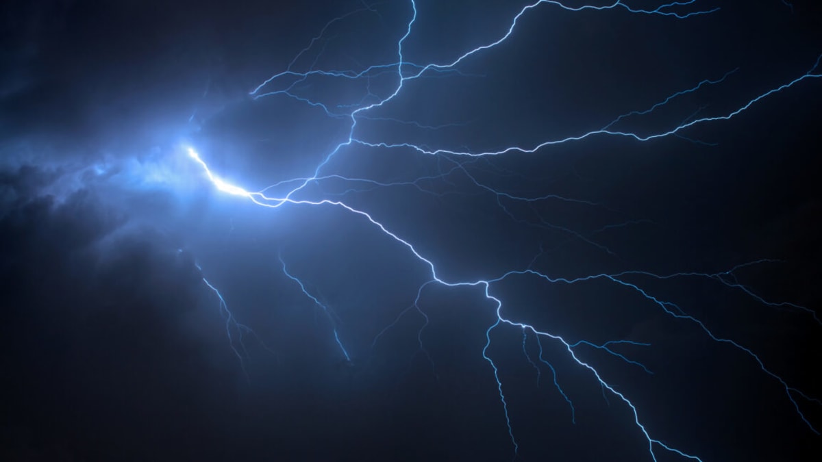
When lightning strikes, it creates thunder that sends waves of energy into the ground, creating what researchers call "thunderquakes." For years, scientists assumed these signals were too messy and complicated to extract useful information from them.
But the Penn State team refused to give up on the idea. They built a computer model that could make sense of the chaos, accounting for everything from how lightning creates chains of plasma bubbles to how sound waves bounce through soil and rock.
To test their theory, they used 4 kilometers of fiber optic cable already running beneath campus. The same type of cable that brings internet to your home can actually detect tiny vibrations in the ground, turning it into a massive seismometer.
Over two summers, they captured data from 458 thunderquakes. Each lightning strike was confirmed using the National Lightning Detection Network, ensuring they knew exactly when and where each bolt hit.
The results exceeded expectations. The fiber optic system picked up distinct signals as energy from thunder bubbles moved from clouds to ground, then spread outward through the earth below.
The team identified four "weak zones" under campus where seismic signals slowed down, suggesting less rigid materials like fractured rock or water saturated areas. Penn State sits on karst limestone, a type of rock that water slowly dissolves and reshapes over time.
Here's where it gets really exciting. The researchers verified their findings using radar, engineering surveys, and drill samples from those exact locations. Every prediction their thunderstorm model made turned out to be accurate.
Why This Inspires
This discovery means communities could map underground structures without expensive equipment or waiting years for an earthquake to strike their area. Summer thunderstorms happen regularly across much of the planet, providing free, frequent opportunities to peek beneath the surface.
The breakthrough also showcases the power of persistence in science. What seemed impossibly complex became achievable once researchers committed to building the right tools and testing them against real world conditions.
Beyond earthquake preparation, this technology could help cities locate underground water sources, find weak spots in infrastructure foundations, or identify geological features that might affect construction projects. All by simply listening to storms that were happening anyway.
The same fiber optic networks already crisscrossing cities for internet service could double as an underground monitoring system. No new infrastructure needed, just a fresh way of thinking about resources we already have.
Nature just handed us a new set of eyes for seeing the invisible world beneath our feet.
More Images



Based on reporting by Ars Technica Science
This story was written by BrightWire based on verified news reports.
Spread the positivity!
Share this good news with someone who needs it