Plant Apps Map 326 Cities Using 80 Million Observations
Citizen scientists using plant identification apps have created the most detailed picture yet of how cities affect climate and soil across Europe. Their 80 million observations reveal that while concrete jungles look similar everywhere, urban forests preserve unique local ecosystems.
Your smartphone and a curious eye for plants just helped scientists solve one of urban planning's biggest mysteries.
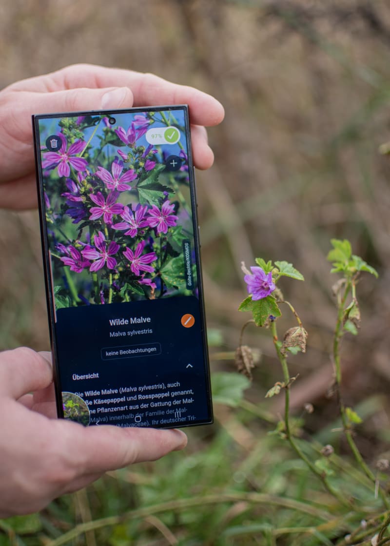
Researchers at the Max Planck Institute for Biogeochemistry turned 80 million plant observations from identification apps like Flora Incognita into a groundbreaking environmental map of 326 European cities. The twist? Plants themselves became the sensors, revealing temperature, soil conditions, and human impact with remarkable precision.
"Plants grow where their site requirements are met," explains Dr. Susanne Tautenhahn, who led the study published in Nature Cities. Stinging nettles signal nutrient-rich soil, while salt-tolerant grasses thrive along winter-salted roads. Each plant tells a story about its exact location.
The team calls this approach Mobile Crowd Sensing of Environments. It works like satellite remote sensing, except everyday people with smartphones replace expensive technology. The result is far more detailed than traditional measurements, capturing conditions between sidewalk cracks that satellites miss.
The findings paint a clear picture of urban life. Built-up areas across Europe are warmer, drier, and darker than green spaces in the same cities. Their soils are saltier, more alkaline, and more disturbed by construction and maintenance than park or forest soils.
Here's the striking part: differences within a single city can match those between Madrid and Stockholm, cities separated by thousands of kilometers. Yet all European concrete jungles share similar harsh conditions, suggesting cities are becoming environmentally homogenized.
Urban forests tell a happier story. These green refuges preserve their original local environmental conditions, maintaining the natural diversity that makes each region unique. They also provide crucial cooling and water retention as cities face climate challenges.
The breakthrough required combining old knowledge with new tools. Botanists have long understood plants as environmental indicators, but only recently was this regional wisdom standardized across Europe. Add millions of citizen observations powered by AI plant identification, and suddenly large-scale environmental monitoring becomes possible.
"For a long time, AI-based plant identification was considered hardly feasible, and the resulting data too unstructured for research," notes Professor Patrick Mäder of Flora Incognita. This study proves otherwise.
The Ripple Effect
By 2050, 70% of the world's population will call cities home. This citizen-powered monitoring system offers urban planners precise data to create healthier, more livable spaces. Every casual plant identification contributes to understanding how cities can better support both people and nature.
The approach scales beautifully because it relies on what cities have in abundance: engaged residents with smartphones and curiosity about the nature around them.
"Cities are places where environmental problems become visible, but also where solutions can emerge," Tautenhahn emphasizes, and millions of citizen scientists just proved her point.
More Images

Based on reporting by Phys.org - Earth
This story was written by BrightWire based on verified news reports.
Spread the positivity! 🌟
Share this good news with someone who needs it