Satellite Captures Birth of Tsunami for First Time Ever
A NASA satellite caught a tsunami forming off Russia's coast just 70 minutes after a massive earthquake, giving scientists their first detailed look at how these deadly waves are born. This breakthrough could help save lives through better tsunami forecasting.
Scientists just watched a tsunami being born, and what they learned could help protect coastal communities around the world.
On July 29, 2025, a magnitude 8.8 earthquake struck deep beneath the Pacific Ocean near Russia's Kamchatka Peninsula. Just 70 minutes later, a satellite happened to pass overhead and captured something remarkable: the first high-resolution images of a tsunami in its earliest moments.
The Surface Water and Ocean Topography (SWOT) satellite, built by NASA and France's space agency to study ocean levels, wasn't designed to watch tsunamis. But researcher Ignacio Sepúlveda from San Diego State University realized it could do something no other tool had done before.
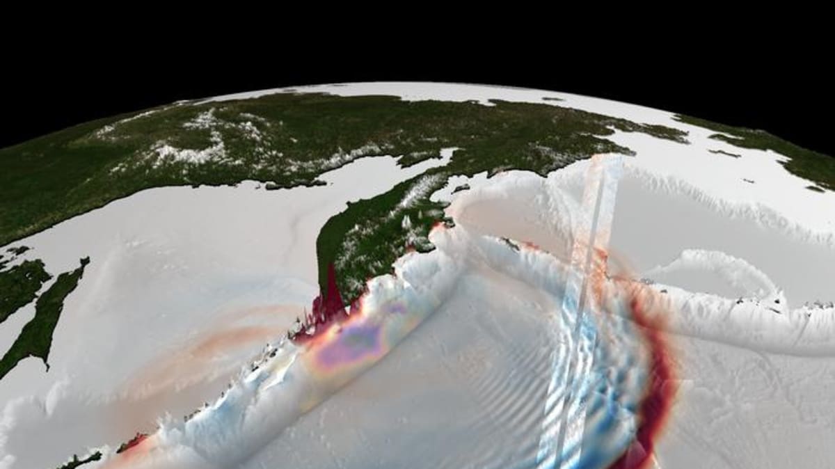
SWOT captured not just the main tsunami wave racing across the Pacific at airplane speeds, but also a series of smaller waves trailing behind it. These "dispersive waves" had never been clearly observed before, and they turned out to hold crucial information.
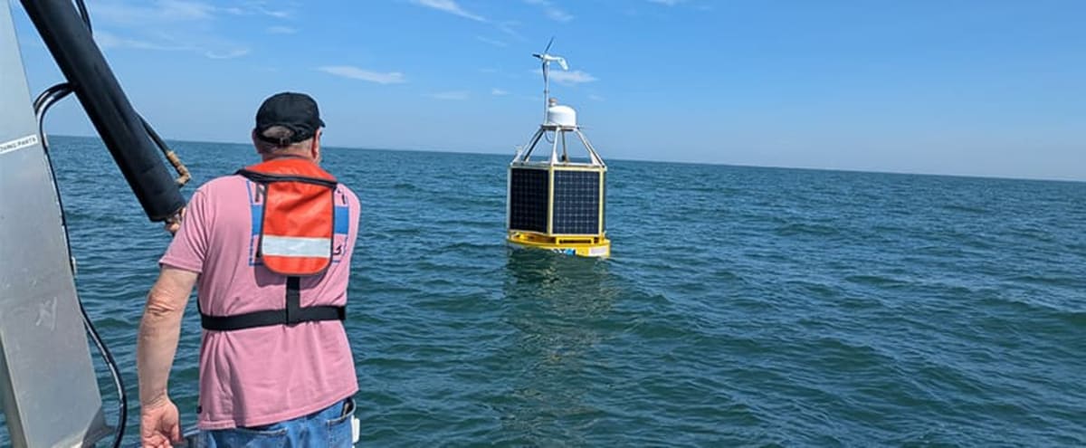
Traditional tsunami monitoring uses buoys that measure pressure changes at single points on the seafloor. While helpful for warnings, they can't show the full picture of how a tsunami moves and spreads.
SWOT's images gave scientists something entirely new: a wide, two-dimensional view of the ocean surface showing wave direction, spacing, and shape with centimeter-level precision. It was like switching from a few thermometers to a weather radar.
The Bright Side
The breakthrough came when Sepúlveda's team discovered those trailing waves act like fingerprints. By analyzing their patterns, researchers pinpointed exactly where the tsunami began, within just six miles of the underwater trench where the earthquake occurred.
This level of detail has never been possible before. Scientists have understood how earthquakes create tsunamis for decades, but seeing it happen in real time opens entirely new possibilities for prediction and protection.
The team had to use more sophisticated computer models to match what SWOT observed. Those better models, combined with satellite observations, could help forecasters predict how tsunamis will behave when they reach shore, potentially giving coastal communities more accurate warnings and more time to evacuate.
The Kamchatka tsunami eventually reached heights over 55 feet when it hit shore. Future events could be better understood before they arrive.
Sepúlveda told Space.com that having this extra information from satellites means understanding "much better what is going on" near the earthquake source. That understanding translates directly into better forecasting and potentially lives saved.
The research proves that satellites already in orbit, designed for other purposes, can become powerful tsunami-watching tools. As more advanced satellites launch and scientists develop better ways to use their data, our ability to predict and prepare for these ocean disasters will only improve.
More Images


Based on reporting by Space.com
This story was written by BrightWire based on verified news reports.
Spread the positivity!
Share this good news with someone who needs it