Satellite Tech Cuts Farm Loan Waits From 15 Days to Minutes
Indian farmers no longer wait weeks for bank loan approvals thanks to satellites tracking their crops from space. AI-powered imagery now shows lenders what's growing, how healthy it is, and whether farms can support loans in under an hour instead of 30 days. #
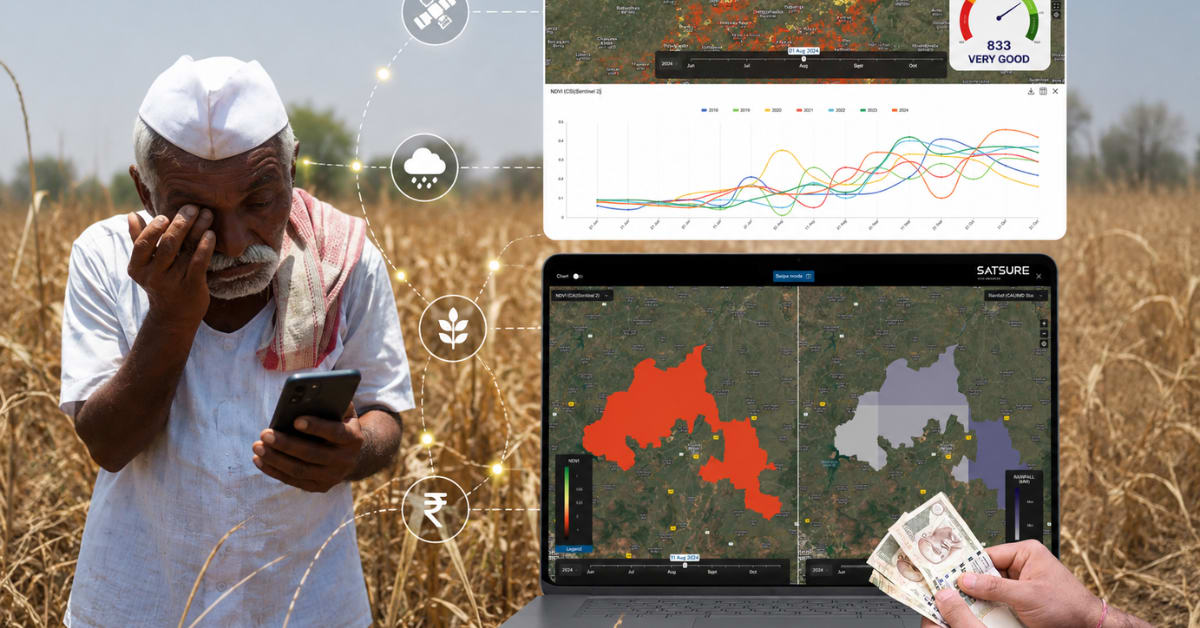
A bank officer opens her screen to see not paperwork, but a satellite image taken from hundreds of kilometers above Earth. The patchwork of fields below tells a story: what crops are growing, how healthy they look, whether there's irrigation, and how consistently the land has produced over recent seasons. For an Indian farmer seeking credit, that view from space means the difference between waiting weeks and getting approved in 30 minutes.
Across India, agricultural lending is transforming in a way most farmers will never directly see. The revolution isn't happening in village offices or bank branches. It's happening in orbit.
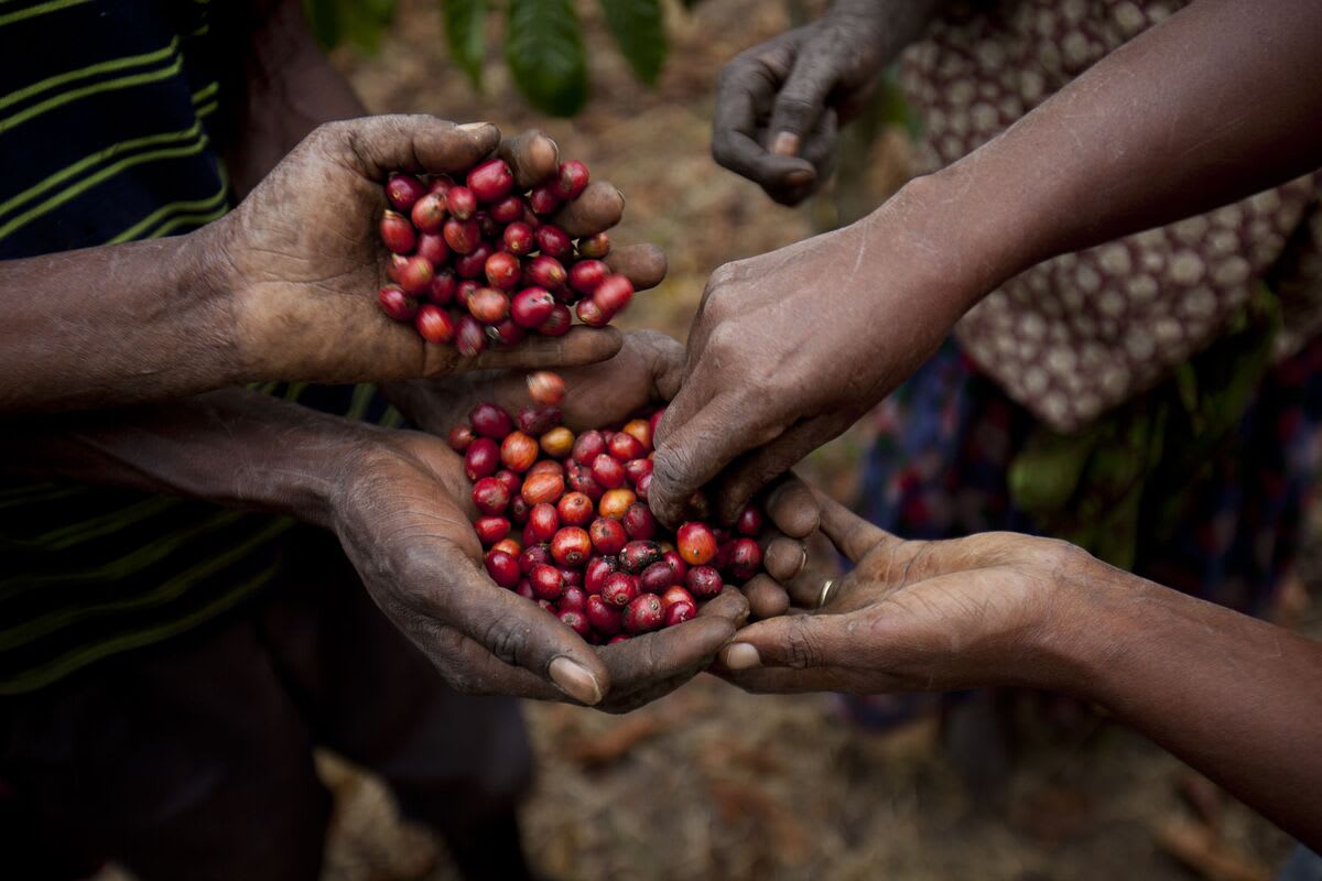
For decades, getting a farm loan meant submitting documents, waiting for field visits, and hoping verbal accounts and static records would be enough. The system left huge gaps. Over 150 million Indian farmers still lack access to institutional credit, even though agriculture supports nearly half the country's population and contributes 16% of GDP.
The core problem was simple: how could banks know if a farm could support a loan? Today, satellites are providing the answer.
SatSure, a Bengaluru company founded in 2017 by former ISRO engineers Prateep Basu and Rashmit Singh Sukhmani, had a straightforward idea. What if satellite data could solve problems on the ground?
Their platform uses satellite imagery and artificial intelligence to create digital twins of farms. It tracks crop classification, acreage, planting and harvest cycles, crop health, and yield trends across all growing seasons. The system also analyzes rainfall, temperature, groundwater availability, and air quality to spot risks that might affect productivity.
But SatSure goes beyond farm boundaries. The company layers agricultural data with socio-economic indicators like road density, market access, rail connectivity, and population trends. This fuller picture helps financial institutions understand individual farm performance and identify where expanding rural credit makes sense.
The platform translates everything into a farm-level risk score delivered through the SatSource Report. Lending decisions that once took 30 days now complete in under an hour. Some approvals happen within minutes, with same-day loan disbursals becoming routine.
The Ripple Effect
SatSure doesn't work directly with farmers. The company operates business-to-business, providing tools to banks and government organizations that handle the last mile delivery. This approach means the technology can scale quickly across India's massive agricultural sector.
Small and marginal farmers, who make up around 85% of India's farming community, face the biggest challenges accessing credit that matches seasonal cash flows. By replacing guesswork with real data, satellite-powered lending helps level the playing field. A farmer's land can finally speak for itself.
The transformation reaches beyond speed. When banks can see actual crop performance instead of relying on incomplete paperwork, more farmers qualify for credit they've always deserved but could never access.
From space, India's fields are telling their own stories, and for the first time, everyone can hear them.
#
More Images
.png)
%2Fenglish-betterindia%2Fmedia%2Fmedia_files%2F2026%2F06%2F29%2Fsatsure-2026-06-29-18-17-11.png)


Based on reporting by The Better India
This story was written by BrightWire based on verified news reports.
Spread the positivity!
Share this good news with someone who needs it