Satellites Now Track Methane Leaks From Space in Egypt
New satellites are helping Egypt's oil and gas sector spot methane leaks from space, turning what once took weeks of ground inspections into near real-time detection. The technology is already identifying emission hotspots across the country's vast energy operations, helping companies fix leaks faster while protecting the climate.
Satellites orbiting Earth can now detect invisible methane plumes rising from oil fields, pipelines, and gas facilities, giving Egypt powerful new tools to tackle a greenhouse gas 80 times more potent than carbon dioxide.
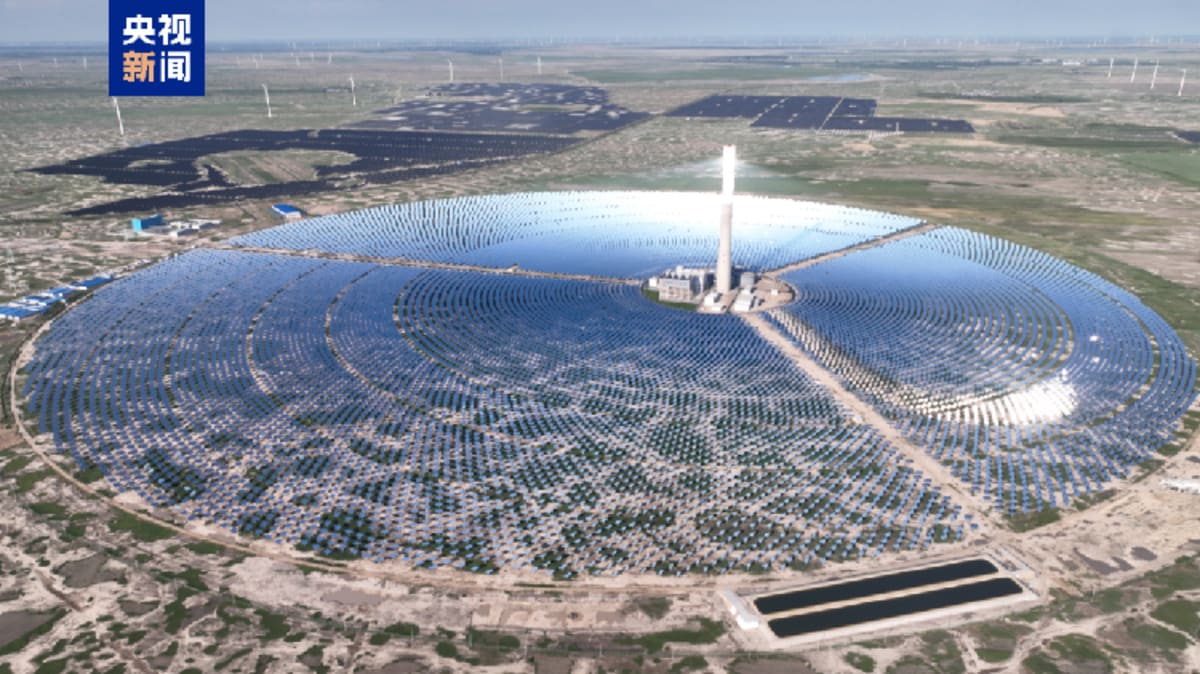
More than 25 satellites now track methane globally, and Egypt is putting them to work. The country joined the Global Methane Pledge and recently participated in a major satellite monitoring campaign that scanned energy operations across the Western Desert, Nile Delta, Gulf of Suez, and Mediterranean.
The technology works by detecting how methane absorbs energy in the atmosphere. Space-based sensors measure these subtle changes in reflected light and convert them into precise methane concentration maps. "We can differentiate methane from other gases and identify methane plumes from oil and gas facilities across vast areas," explains Mamdouh El Oufy, MENA Account Director at GHGSAT, one of the satellite monitoring developers.
The recent monitoring campaign across Egypt revealed multiple methane plumes from selected energy assets, helping operators pinpoint and fix leaks they didn't know existed. Some satellites can detect emissions as small as 100 kilograms per hour, catching problems before they become major environmental issues.
The shift from ground inspections to satellite monitoring represents a massive leap in efficiency. Traditional monitoring required personnel to physically visit every facility, even in remote desert locations, and repeat the process continuously. Now satellites can scan entire oil and gas basins in a single pass, revisiting locations frequently to track changes over time.
Egypt's energy sector spans enormous geographic areas, making satellite monitoring especially valuable. Operations scattered across deserts and offshore platforms can all be monitored simultaneously from space, with software flagging potential hotspots for closer inspection.
The Ripple Effect
Beyond environmental benefits, the technology helps companies recover lost energy resources. Every methane leak represents wasted natural gas that could have been captured and sold. By identifying these leaks quickly, operators improve both their environmental performance and operational efficiency.
The approach works in layers. Wide-area satellites first scan broad regions to flag potential emission hotspots. Higher-resolution satellites then zoom in to quantify those emissions and help prioritize which repairs to tackle first. María Fernanda President of PlanetAI Nature Space notes that some systems use algorithms with existing satellite images, eliminating the need for specialized methane-detection satellites.
The monitoring reveals patterns that ground inspections might miss. Satellite data shows which sources emit persistently versus occasionally, helping companies focus resources on the biggest problems. This intelligence is helping Egypt strengthen environmental management across its energy sector while supporting climate commitments.
Scientists estimate methane has contributed nearly 30% of global temperature rise since the Industrial Revolution, making rapid detection and repair crucial for climate action. Egypt now has the tools to see its methane emissions from space and do something about them.
Based on reporting by Google News - Emissions Reduction
This story was written by BrightWire based on verified news reports.
Spread the positivity!
Share this good news with someone who needs it