Scientists Map 1 Million Satellite Routes to Prevent Crashes
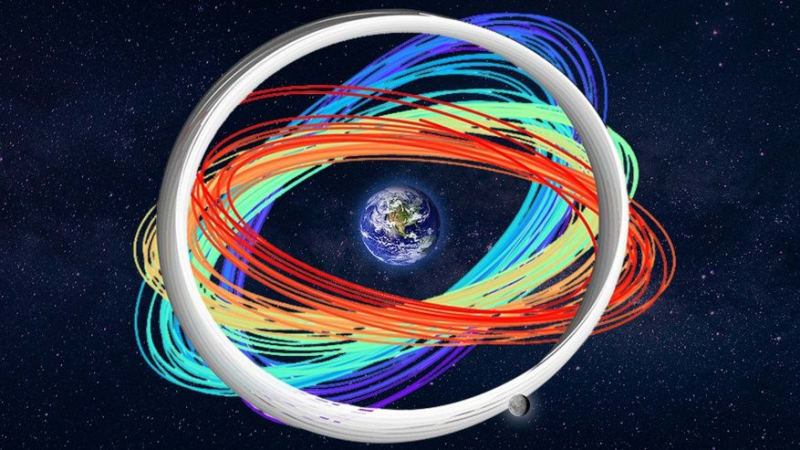
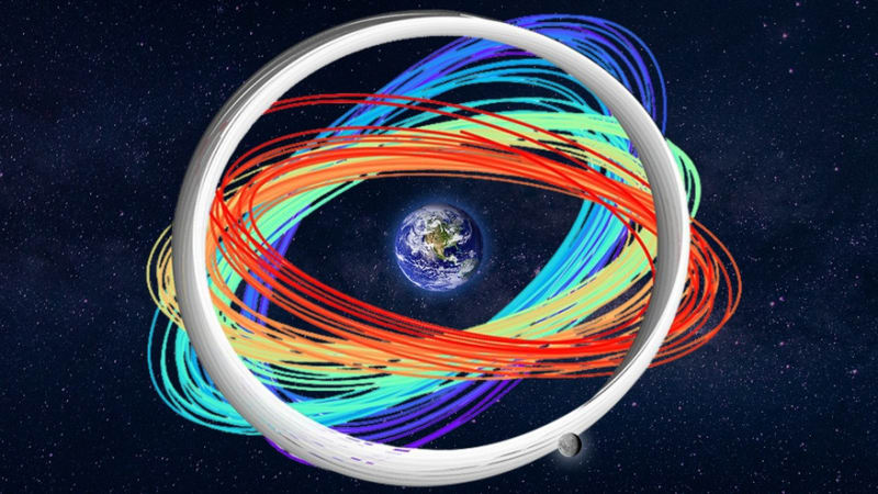
Researchers created a massive digital map of one million orbits around Earth and the moon to help prevent satellite collisions as space gets more crowded. The breakthrough could save billions in equipment and keep critical GPS and internet services running smoothly.
Imagine rush hour traffic, but in space, with 45,000 vehicles and no stoplights. That's the challenge scientists just helped solve with a groundbreaking navigation system.
Researchers at Lawrence Livermore National Laboratory in California modeled one million possible orbits between Earth and the moon over six years. They discovered that about half remained stable for at least a year, while nearly 10% stayed clear for the full simulation period.
The team used supercomputers named Quartz and Ruby to crunch numbers that would take a single computer 182 years to process. Instead, they finished in just three days, burning through 1.6 million hours of computing power.
"When you have a million orbits, you can get a really rich analysis using machine learning applications," said LLNL scientist Denvir Higgins. The system can predict how long an orbit will last, spot unusual movement patterns, and identify potential collision hotspots.
The timing couldn't be better. With over 45,000 human-made objects already circling Earth and a packed launch schedule planned through 2026, space is getting cramped fast. Most of those objects include working satellites providing internet and GPS services, but thousands are pieces of old rockets and space junk from decades of exploration.
The challenge is trickier than it sounds. Unlike predicting where a car will be on a highway, satellites don't follow simple paths. "There's no equation that can actually tell you where it's going to be," explained LLNL scientist Travis Yeager. "You have to step forward a little bit at a time."
The Ripple Effect
This research does more than prevent expensive crashes. Every satellite collision creates thousands of new debris pieces, each capable of destroying other satellites. One collision could trigger a chain reaction that wipes out internet service, GPS navigation, and weather forecasting for millions of people.
The database is publicly available, meaning space agencies worldwide can use it even without international coordination. As countries race to launch satellites independently, having a shared traffic map could prevent disasters before they happen.
The system opens doors for smarter planning too. Future satellite operators could identify busy intersections in space and choose clearer paths, just like drivers avoiding rush hour congestion.
With thousands more satellites planned for launch, this digital roadmap might be exactly what keeps our space highways running smoothly for generations to come.
More Images
Based on reporting by Space.com
This story was written by BrightWire based on verified news reports.
Spread the positivity!
Share this good news with someone who needs it