
Scientists Map Hidden Antarctica With Satellites
Researchers just created the most detailed map ever of what lies beneath Antarctica's thick ice sheet, revealing tens of thousands of previously unknown hills and ridges. The breakthrough could help predict how melting ice will affect sea levels worldwide.
Scientists have finally brought the hidden world beneath Antarctica's ice into focus, and what they found could help protect coastal cities around the globe.
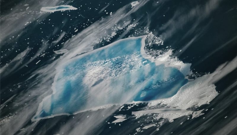
A team of researchers combined satellite images with glacier physics to create the most detailed map yet of Antarctica's subglacial landscape. The breakthrough revealed tens of thousands of hills and ridges that no one knew existed, plus sharper images of mountains and canyons buried under up to 3 miles of ice.
Until now, studying what's beneath Antarctica has been incredibly difficult. Previous efforts used radar equipment towed by snowmobiles or flown on airplanes, but those methods left huge gaps in our knowledge. In fact, researchers say we might know more about the surface of Mars than we do about the terrain hiding under Antarctica's ice.
The new approach works differently. Instead of sending equipment to Antarctica, scientists analyzed high resolution satellite data of the ice surface and combined it with mathematical models of how glaciers move. This let them peer through the ice from space.
Antarctica holds about 90% of Earth's fresh water locked in ice. The ice sheet is so heavy that it has actually pushed parts of the continent's bedrock below sea level. Understanding what's underneath matters because the shape of the land affects how ice flows and melts.
The Bright Side
This map gives scientists a powerful new tool to predict how Antarctica will respond as temperatures rise. By understanding the hidden hills, valleys, and ridges that guide glacier movement, researchers can better forecast which areas are most vulnerable to melting and how quickly ice might flow into the ocean.
The team acknowledges their findings are based on models and assumptions about ice flow. They see this map as a guide for where to focus future on the ground surveys, making research efforts more efficient and targeted.
The clearer picture of Antarctica's landscape helps connect the dots between climate change and rising sea levels. When scientists know how ice moves across the continent's hidden terrain, they can give coastal communities better information about what to expect and more time to prepare.
This discovery transforms Antarctica from a blurry mystery into a detailed landscape we can study and understand.
More Images


Based on reporting by Google News - Science
This story was written by BrightWire based on verified news reports.
Spread the positivity! 🌟
Share this good news with someone who needs it


