UN Adopts Equal Earth Map Showing Africa's True Size
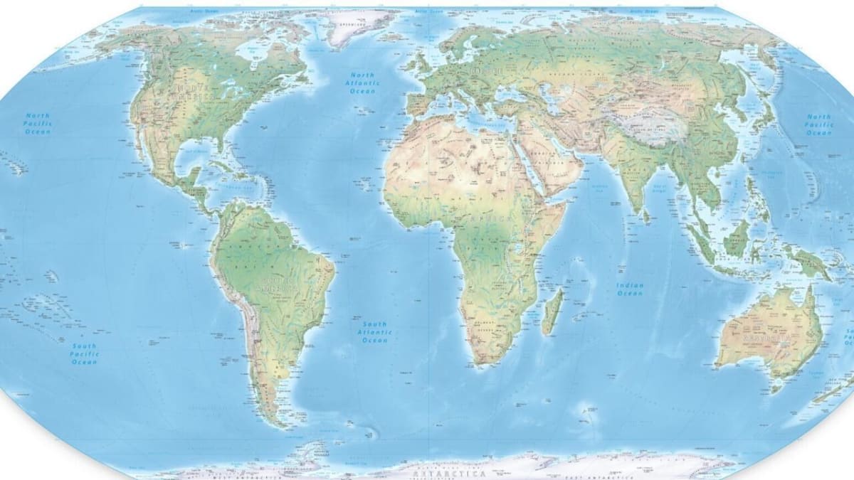
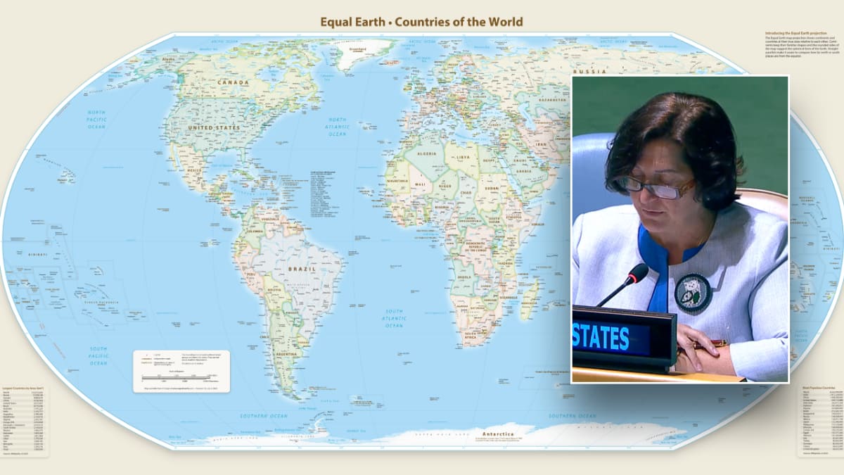
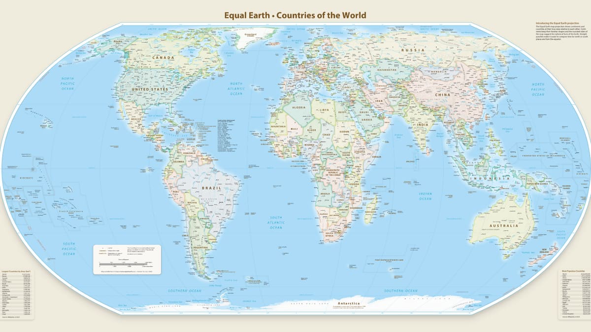
The United Nations voted 164-1 to adopt a new world map that shows continents at their accurate sizes, making Africa appear much larger than on traditional maps. The move aims to correct centuries of distortion from the widely-used Mercator projection.
The world just got a fairer view of itself. The United Nations voted overwhelmingly on Friday to adopt the Equal Earth map projection, which displays every continent at its true size relative to others.
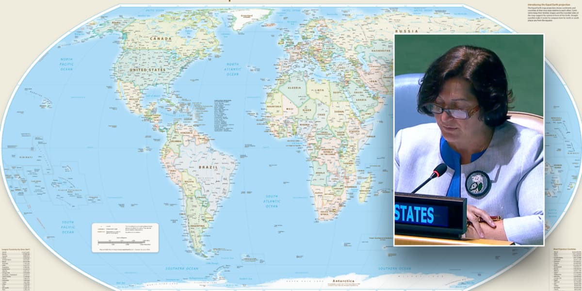
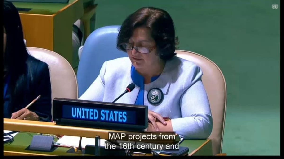
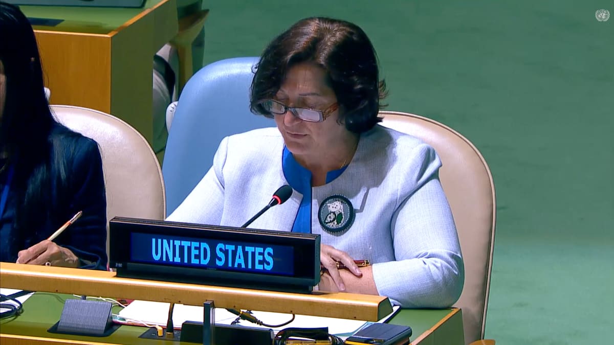
The resolution passed with 164 nations in favor, with only the United States voting against and six countries abstaining. The new map corrects distortions from the Mercator projection, a 1569 navigation tool that has dominated classrooms and atlases for centuries.
The Mercator projection makes land masses near the poles look enormous while shrinking those near the equator. Africa, which is actually larger than Europe, Greenland, the United States, China, India, Japan, and Mexico combined, appears deceptively small on traditional maps.
Togo Foreign Minister Robert Dussey introduced the resolution on behalf of African nations. "A fair map does not change the geography of the world; it changes how we see the world," he told the assembly. "And when our perspective becomes more just, it paves the way for greater understanding, respect and peace among nations."
The measure doesn't force anyone to abandon old maps. It simply establishes the UN's official support for equal-area projections as the preferred way to show our planet.
The Ripple Effect
This shift in perspective could reshape how students worldwide understand geography and global relationships. When children see continents at their true sizes, they develop a more accurate understanding of the world they inhabit.
Cartographers actually moved away from the Mercator projection in the 20th century because of its distortions. But it made a comeback when Google Maps adopted a similar version in 2005, making it standard for digital mapping because it allows smooth zooming and panning.
The Equal Earth projection, created by cartographers in recent years, maintains accurate continental sizes while keeping shapes recognizable. It's designed specifically to serve educational and reference purposes without the navigational distortions of earlier maps.
Nearly every nation on Earth agreed that accuracy matters when we depict our shared home.
More Images
Based on reporting by Fox News Latest Headlines (all sections)
This story was written by BrightWire based on verified news reports.
Spread the positivity!
Share this good news with someone who needs it