Washington Scientists Use AI to Find Hidden Wetlands
While federal protections for wetlands shrink, Washington state researchers developed an AI tool that can spot hidden wetlands invisible to satellites. The innovation helps farmers, developers, and conservationists protect these critical ecosystems before they disappear.
Scientists in Washington state just cracked the code on finding wetlands that satellite images miss entirely, and the timing couldn't be better.
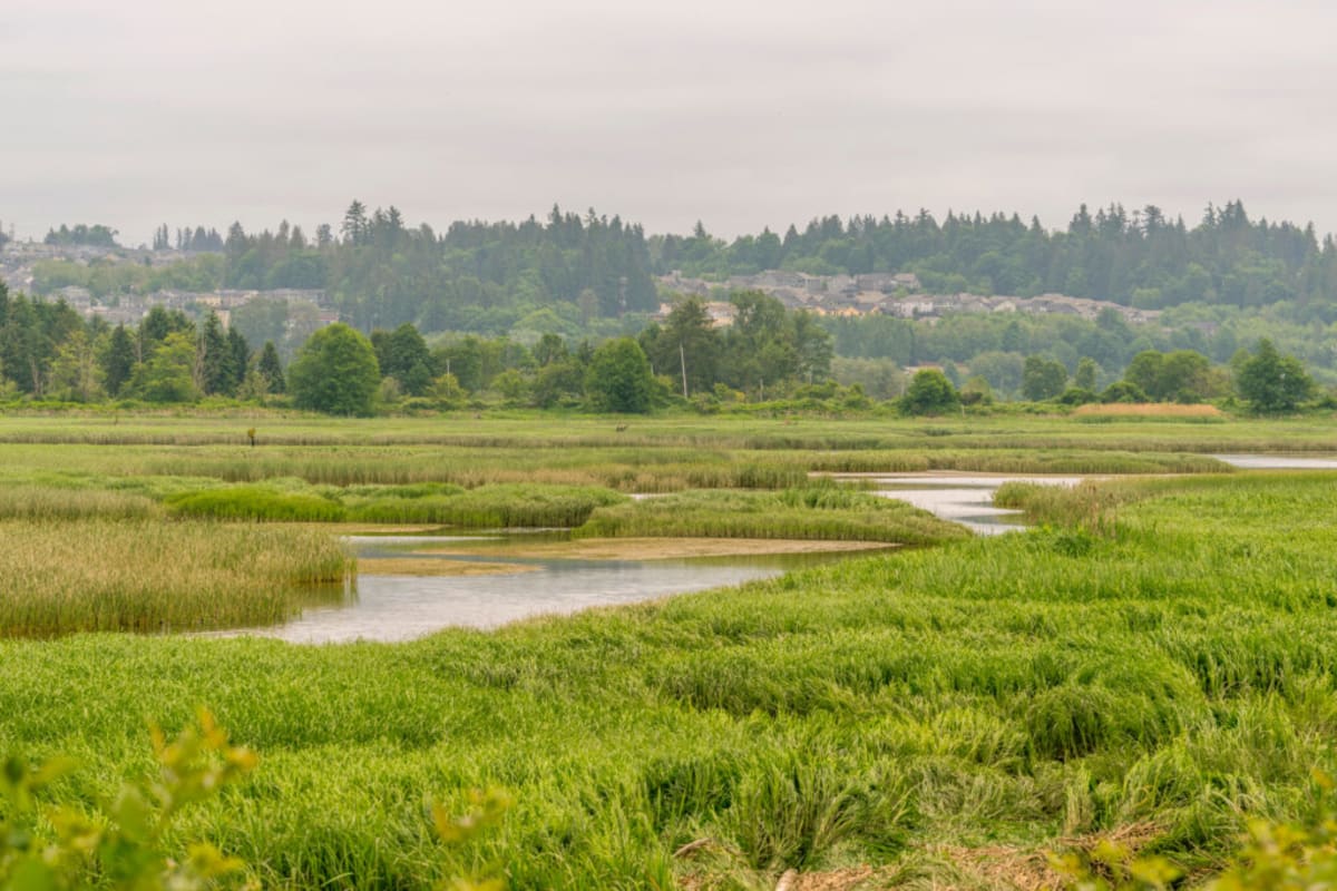
Recent federal rule changes stripped protections from tens of millions of acres of wetlands across America. But in Washington, researchers Amy Yahnke and Meghan Halabisky saw an opportunity instead of defeat. They built an artificial intelligence tool that finds "cryptic wetlands" hidden under dense forest canopies or dried up during certain seasons.
Traditional wetland mapping relies on people examining aerial photos. If you can't see water from above, it doesn't get mapped or protected. That's a massive problem in Washington, where eastern plains see wetlands shrink to nothing during dry summers, and western forests hide soggy ecosystems under thick tree cover.
"If they can't see it, they can't map it," said Halabisky, a University of Washington researcher and chief scientist at Tealwaters. Her team partnered with geomorphologist Dan Miller to teach computers to recognize the subtle landscape features that signal hidden wetlands.
The AI analyzes terrain patterns, soil types, and water flow data to predict where wetlands exist even when they're invisible. It's like giving conservationists X-ray vision for water.
Climate change makes this technology even more urgent. Eastern Washington now experiences wetter winters but hotter, drier summers. Wetlands that once held water through July might dry up by May, shrinking the window to spot them and potentially disqualifying them from federal protection entirely.
Why This Inspires
This isn't just about conservation. The tool helps everyone navigate the new reality.
Farmers can identify wetlands on their property before accidentally draining them. Housing developers can design projects that work around these ecosystems instead of destroying them unknowingly. Conservation groups can prioritize protection efforts for the most vulnerable areas.
Washington state's approach shows how local innovation can fill gaps when federal support wavers. Instead of waiting for top-down solutions, scientists partnered with state agencies like the Washington Department of Ecology to create practical tools their communities actually need.
The National Wetlands Inventory, created in the 1970s, remains America's best wetland database. But it was built for a different era and different climate patterns. This AI upgrade brings wetland protection into the 21st century, accounting for both technological advances and climate realities.
Wetlands prevent floods, store carbon, support wildlife, and help communities survive droughts. Finding and protecting them matters for everyone, regardless of political perspective. The Washington team proved that when federal protections falter, local ingenuity and collaboration can step up to safeguard the natural systems we all depend on.
Based on reporting by Inside Climate News
This story was written by BrightWire based on verified news reports.
Spread the positivity!
Share this good news with someone who needs it