AI Now Tracks Space Hurricanes That Disrupt Satellites
Scientists in China developed an AI system that detects space hurricanes with 98% accuracy, protecting satellites and communications from these massive plasma storms spinning above Earth's poles. The breakthrough transforms a tedious manual process into automated early warning.
📺 Watch the full story above
Scientists just made protecting our satellites and communications a whole lot easier with an AI system that can spot dangerous space storms swirling above Earth.
A team led by researchers from Shandong University and China's National Space Science Centre created a deep learning system that detects space hurricanes with nearly 98% accuracy. These massive plasma storms spin like cyclones above Earth's magnetic poles, disrupting satellite signals, radar systems, and radio communications.
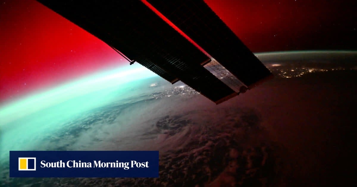
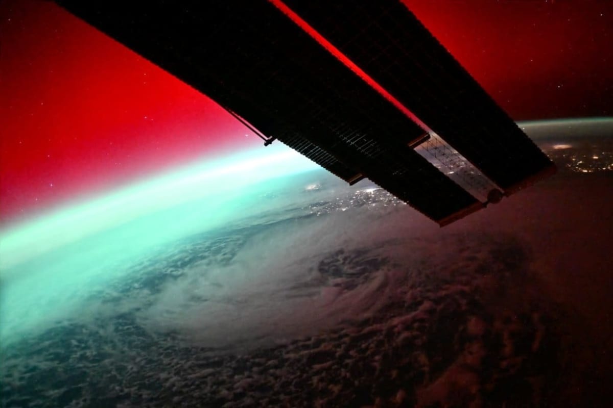
Space hurricanes are a recently discovered phenomenon that looks like a giant, spinning aurora near the North and South Poles. Instead of rain and wind, these storms are swirling masses of plasma that pour high-energy electrons into Earth's upper atmosphere, creating cyclone-shaped light shows up to 1,000 kilometers wide.
The first documented space hurricane wasn't even confirmed until 2021, when scientists proved a massive plasma spiral had swirled above the North Pole for eight hours back in 2014. Since then, researchers discovered these storms can cause navigation errors and impair radar detection.
Until now, detecting space hurricanes required scientists to manually inspect satellite images one by one. The process was slow, subjective, and impossible to scale for the massive amounts of data modern satellites collect.
The team trained their AI system using 300,000 auroral images collected between 2005 and 2021 from both hemispheres. They identified 570 distinct space hurricane events and taught the system to distinguish them from similar-looking phenomena that aren't actually dangerous.
The Ripple Effect
The timing couldn't be better. The new detection system can analyze data from SMILE, a joint China-Europe satellite that launched in May specifically to study space weather. The satellite's ultraviolet imager will capture continuous, high-resolution images of auroras, generating volumes of data too massive for humans to process manually.
The breakthrough offers real protection for polar communications and aviation, where space hurricanes pose the greatest risk. During these storms, energy deposition at the polar ionosphere becomes comparable to intense magnetic storms, threatening everything from GPS systems to over-the-horizon radar.
The research team published their findings in the peer-reviewed journal Space Weather on May 23. They've already created a complete software system with a visual interface that makes the detection process simple for other researchers to use.
Next, the scientists plan to move beyond detection toward prediction, integrating real-time data sources to create a space-ground monitoring network. This would enable forecasting of space hurricanes before they form, giving operators time to protect vulnerable systems.
The automated system represents a major step forward in safeguarding the technology we depend on every day, from satellite communications to navigation systems that keep aircraft safe.
More Images

Based on reporting by South China Morning Post
This story was written by BrightWire based on verified news reports.
Spread the positivity!
Share this good news with someone who needs it