Google-Backed Satellites Now Detect Wildfires in Minutes
Three new satellites launched to detect wildfires as small as 16 feet across before they spiral out of control. The technology could save over $1 billion in damage and protect 1.3 million acres by catching blazes early.
📺 Watch the full story above
Imagine spotting a wildfire when it's barely the size of a small bedroom instead of waiting until it becomes an inferno. That's now possible thanks to three satellites that just launched into space.
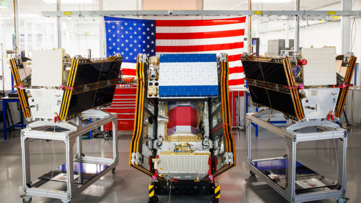
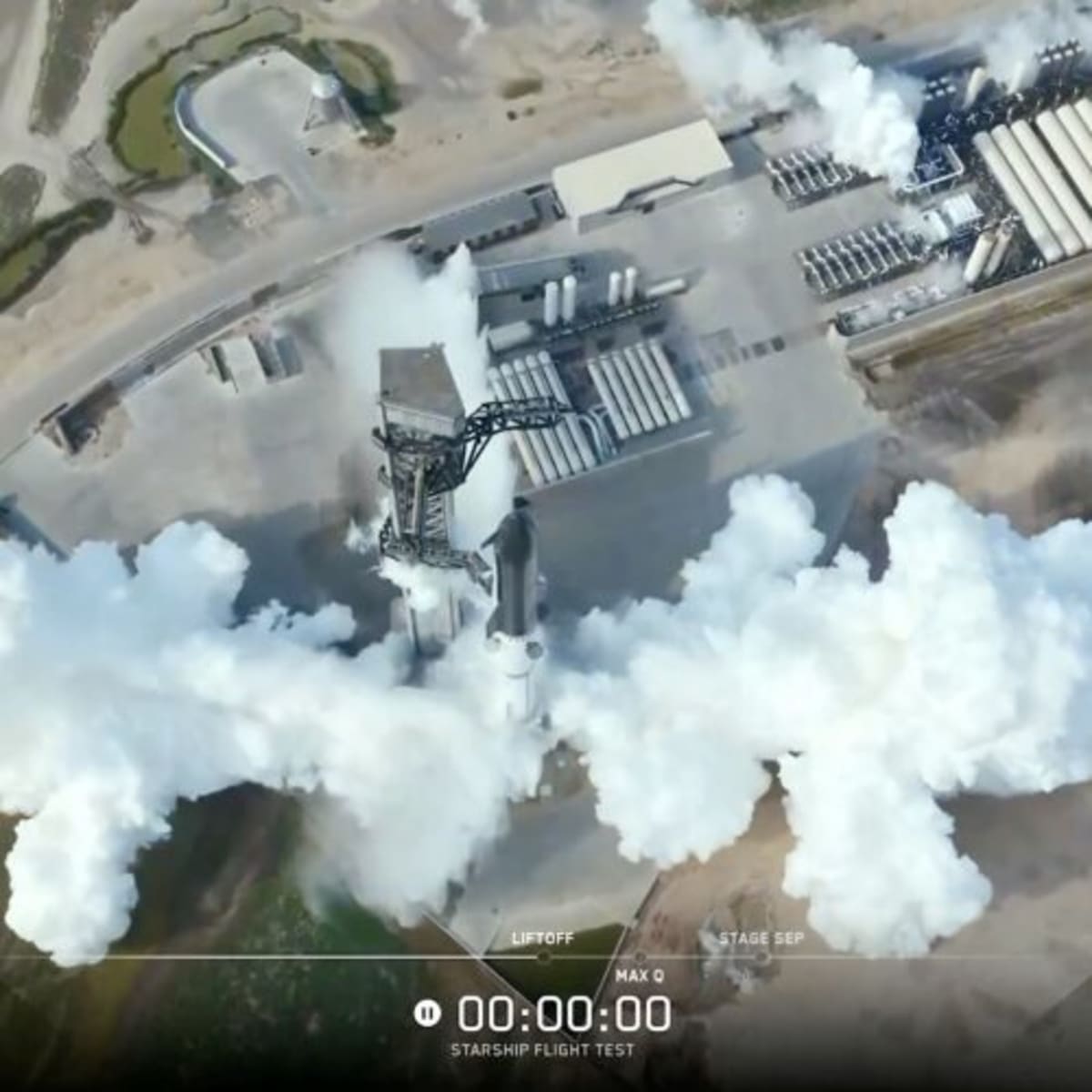
The FireSat constellation lifted off from California on July 7, 2026, marking the first satellite system built specifically to catch wildfires early. After three months of testing, these satellites will scan every fire-prone region on Earth at least twice daily, giving firefighters crucial early warnings.
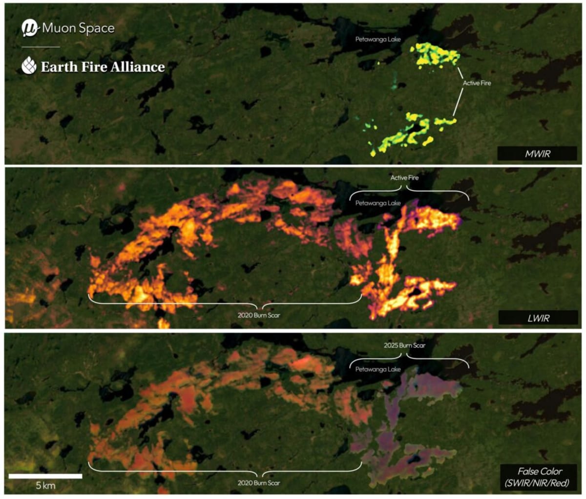
Each satellite carries special cameras that can see through smoke and clouds to detect fires as small as five by five meters. That's a game changer because existing satellites often miss smaller blazes that later explode into devastating infernos.
The technology already proved itself during testing. A prototype satellite launched in March 2025 captured over one million images and spotted low-intensity fires that other satellites couldn't see.
Google provided over $15 million to support the project, while the Bezos Earth Fund contributed $26 million. California-based Muon Space designed the satellites, and the nonprofit Earth Fire Alliance manages the constellation.
Fire agencies in California, Colorado, Australia, and Portugal will start using the data before 2026 ends. By 2029, the system aims to provide fresh imagery anywhere on Earth every hour, eventually reaching 20-minute updates once more than 50 satellites launch in the early 2030s.
The Ripple Effect
The potential impact extends far beyond catching fires early. FireSat could prevent nearly 22 million tons of carbon emissions, protect 3,500 homes, and save 1.3 million acres of land once it reaches hourly coverage.
Google's AI models will analyze the satellite data alongside historical images to identify tiny fires and predict how they might spread. This combination of space technology and artificial intelligence gives firefighters tools that seemed like science fiction just years ago.
The timing matters tremendously. Wildfires in Canada's boreal forests forced thousands to evacuate this summer, creating hazardous air pollution for over 100 million people across North America. Climate change has made traditional fire suppression strategies increasingly difficult.
Early detection won't solve every wildfire challenge, but it gives firefighters a fighting chance to stop blazes before they become unstoppable. When communities get those critical extra minutes or hours of warning, lives and landscapes can be saved.
Technology that spots danger from space and alerts people on the ground represents hope in action.
More Images


Based on reporting by Ars Technica
This story was written by BrightWire based on verified news reports.
Spread the positivity!
Share this good news with someone who needs it