AI Maps D.C. Trees to Cool Cities and Fight Climate Change
Researchers created an AI tool that uses satellite and street-level images to help city planners track every tree and green space in Washington, D.C. The technology reveals where neighborhoods need more greenery and could help cities worldwide build smarter, cooler urban forests.
Cities are getting hotter, but a new AI tool is helping urban planners find the coolest solution of all: more trees.
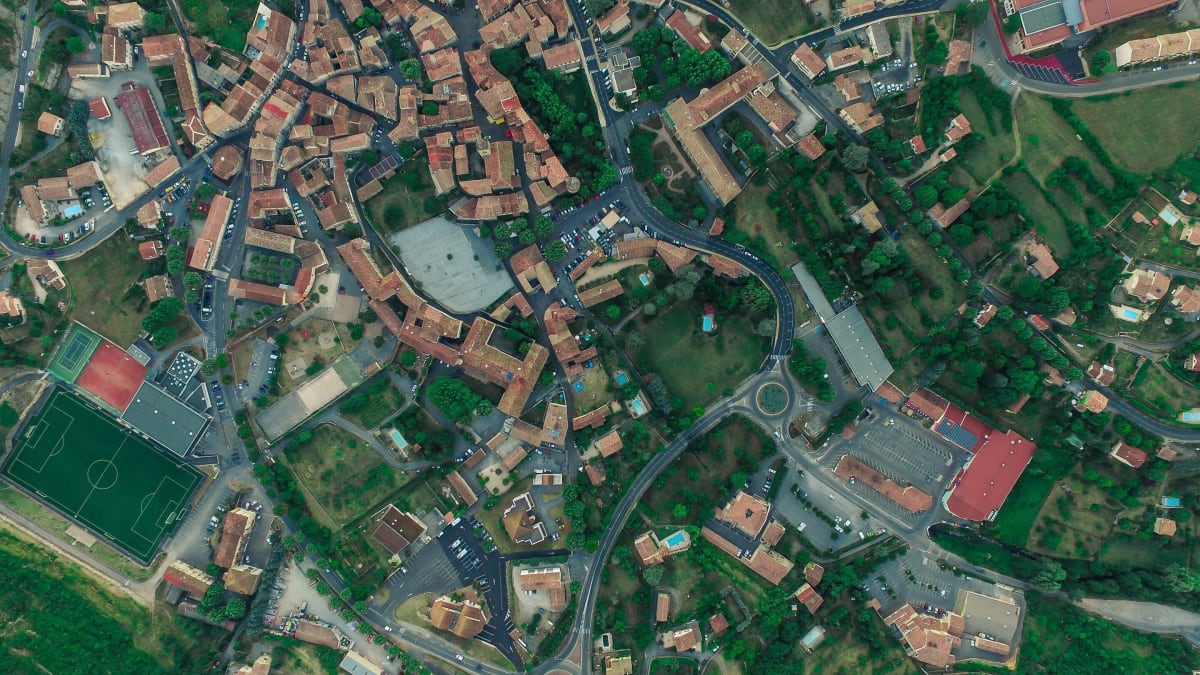
Researchers at Northeastern University just gave Washington, D.C., foresters a powerful new way to see their city. By training artificial intelligence to analyze over 80,000 satellite and Google Street View images, they created a three-dimensional map of every tree and green space in the nation's capital.
The tool does something urban foresters couldn't do before: track the entire urban forest from citywide patterns down to individual trees, all at once. "They want to have a more effective way to monitor the entire system," says Fang Fang, the associate teaching professor who led the research.
The results are already changing how D.C. thinks about its trees. The AI revealed that densely populated neighborhoods have far fewer green spaces, pointing foresters toward areas that need help most.
Earl Eutsler, associate director for D.C.'s Urban Forestry Division, says the technology showed his team something unexpected. Private commercial properties have huge gaps in tree coverage, but landlords who don't live on site often don't know the city offers free tree planting services.
The Ripple Effect
This breakthrough matters because urban trees do much more than look pretty. They cool down neighborhoods, clean the air, and increase property values. In our fight against climate change, trees serve as critical infrastructure, just like water pipes or bike lanes.
The timing couldn't be better. Cities worldwide are heating up, and urban planners need smarter tools to fight back. Fang's AI combines bird's-eye satellite views with ground-level street perspectives, giving a complete picture that was impossible before.
D.C. has already done good work greening its streets, but this technology helps foresters work smarter, not just harder. They can now spot exactly where new trees will have the biggest impact on people's lives.
The research points toward an exciting future: "digital twin" cities that simulate different scenarios for urban planning under climate change. City leaders could test their ideas virtually before planting a single real tree.
"The more we look for ways that trees improve people's lives, the more we find," Eutsler says. With AI helping cities see their forests more clearly, those improvements are about to grow even faster.
More Images


Based on reporting by Phys.org - Earth
This story was written by BrightWire based on verified news reports.
Spread the positivity!
Share this good news with someone who needs it