AI Tool Forecasts Mountain Snowmelt for Water Planning
Researchers at Washington State University created an AI tool that predicts water availability from mountain snow, helping managers plan for everything from flood prevention to summer irrigation. The forecasting model outperforms current methods at 90% of mountain locations.
Imagine getting a weather forecast for water availability the same way you check tomorrow's temperature.
Researchers at Washington State University just made that possibility real. They developed an AI tool that forecasts how much water will come from melting mountain snow, giving water managers crucial information for planning weeks or months ahead.
The timing couldn't be better. In the Western United States, 50 to 80% of annual streamflow comes from melting winter snowpack. That water supplies everything from summer crops to hydroelectric power to river ecosystems that fish depend on.
"Snow-water equivalent is critical for decision making because it tells you how much water would be available from the melted snow," said Krishu Thapa, a graduate student who led the research. The team presented their work at the Association for the Advancement of Artificial Intelligence Conference in Singapore this January.
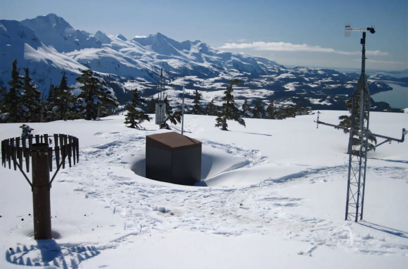
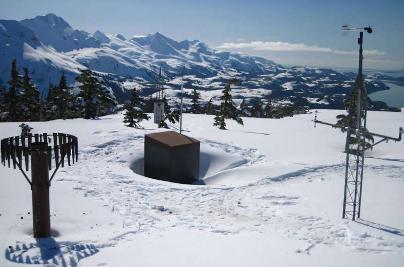
Right now, 822 snow measurement stations dot the Western mountains, but they're spread thin. Each station covers about 1,500 square miles, and snow levels can vary dramatically even a short distance away depending on the terrain.
Water managers currently look at these measurements and compare them to past years to make decisions. The new forecasting tool takes that approach to the next level by predicting future conditions instead of just referencing history.
The AI model excelled in testing. It beat existing forecasting methods at 90% of locations for daily predictions and 70 to 80% of locations for weekly forecasts, using data from more than 500 snow measurement sites across the West.
The secret sauce? The researchers combined both time and location data, letting the model learn patterns across different mountain areas and seasons. Even better, the tool provides confidence levels for its predictions, just like weather forecasts show percentage chances of rain.
The Ripple Effect
Better snowmelt forecasts mean better decisions about water. Managers can more accurately predict flooding during storms, preventing property damage and saving lives. They can plan summer irrigation more efficiently, helping farmers grow food without wasting precious water. Hydropower operators can optimize when to generate electricity, and fisheries managers can better protect salmon and trout that need specific stream flows to survive.
The research team is now building a dashboard that will deliver real-time forecasts in an easy-to-use format. They're also working to integrate weather predictions and streamflow data into the model, creating an even more complete picture of water availability.
The work represents a shift from predicting individual variables separately to forecasting interconnected systems together. That integrated approach could transform how the West manages its most precious resource in an era of increasing water uncertainty.
Water managers across the Western states will soon have a powerful new tool to help communities thrive.
More Images
Based on reporting by Phys.org
This story was written by BrightWire based on verified news reports.
Spread the positivity!
Share this good news with someone who needs it