Europe Launches Two Earth-Monitoring Satellites Tonight
Two new satellites lifting off from French Guiana will help scientists track plant health and monitor our planet's changing climate in groundbreaking ways. One will measure something no satellite has ever captured before.
Europe is sending two powerful new eyes into space to better understand and protect our planet.
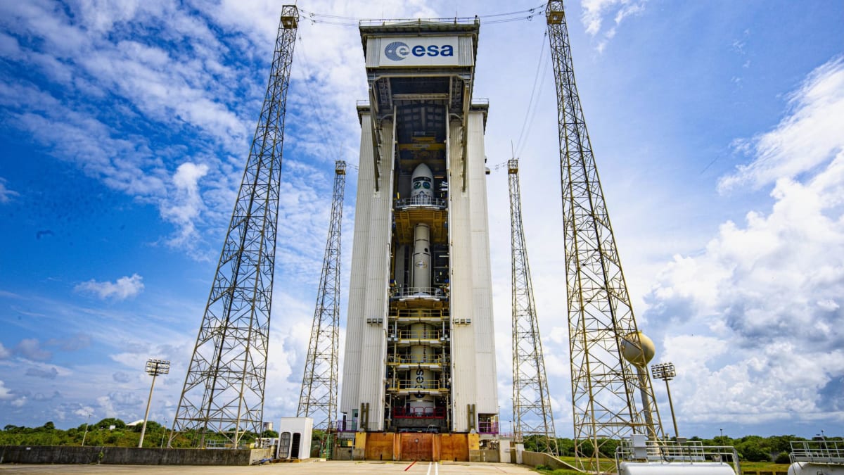
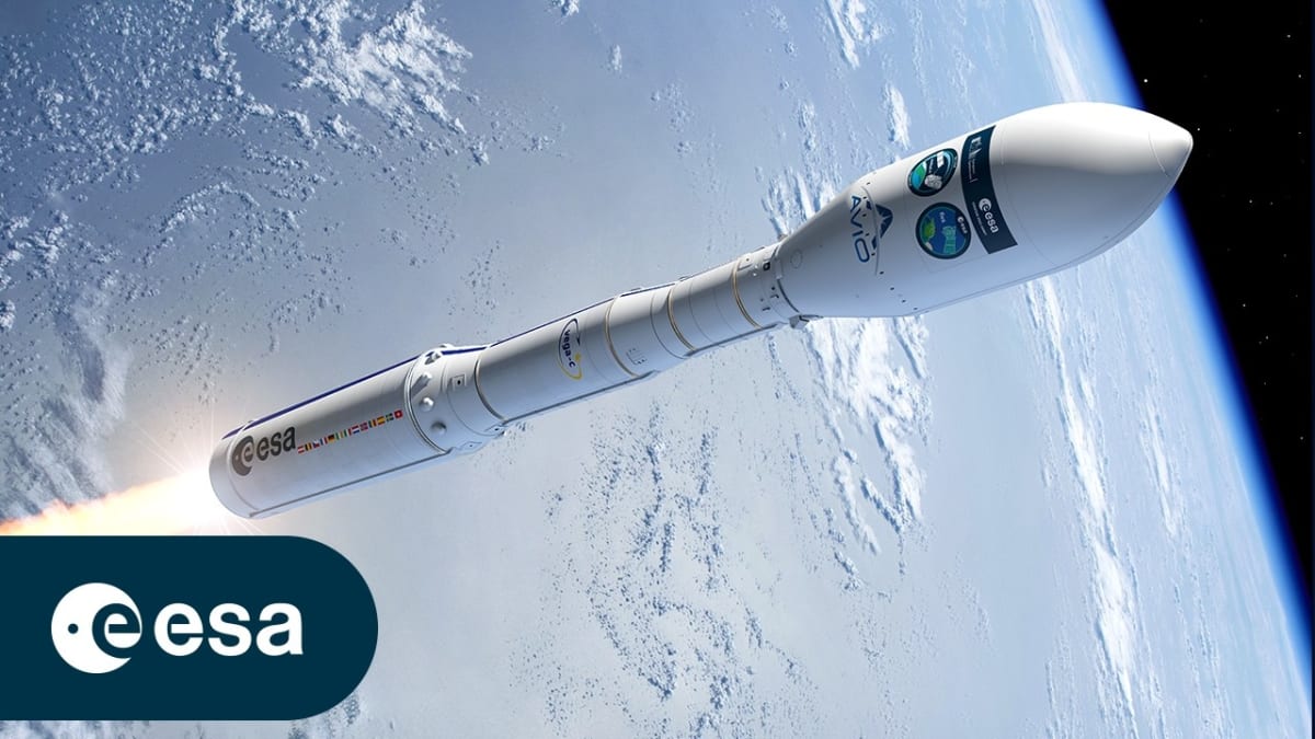
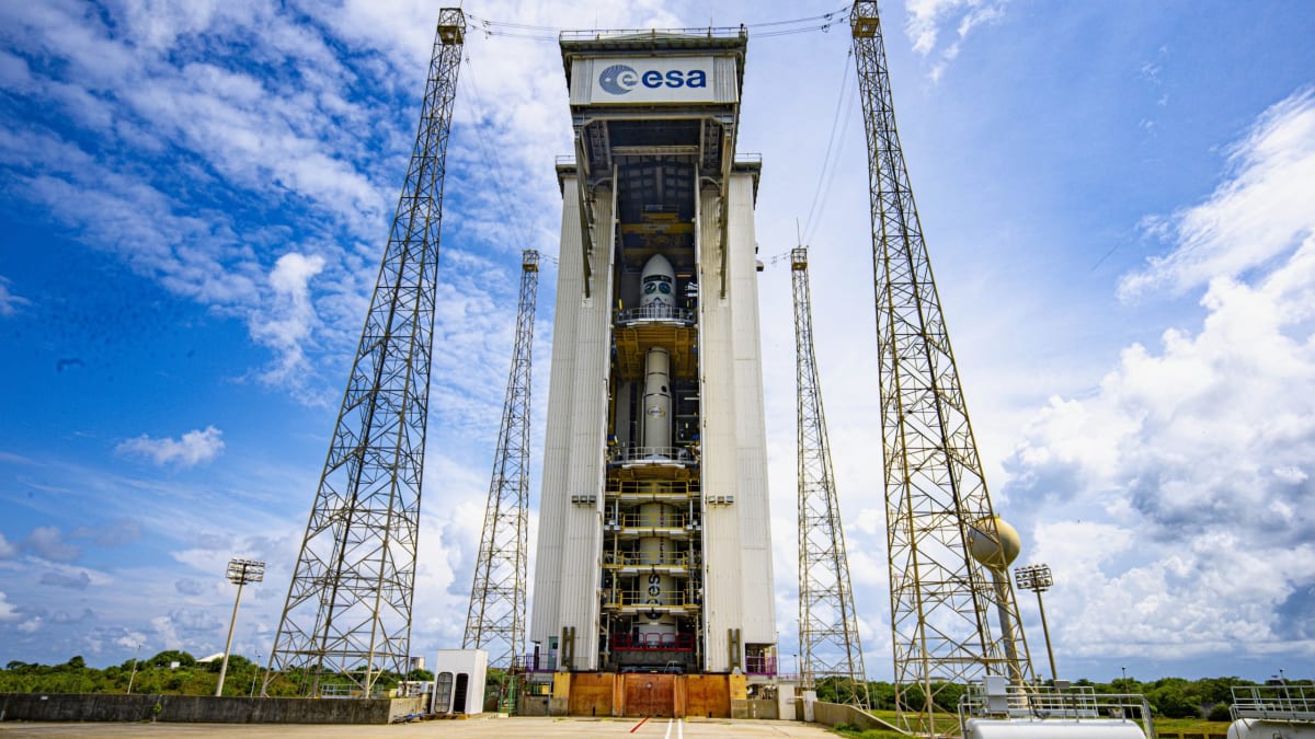
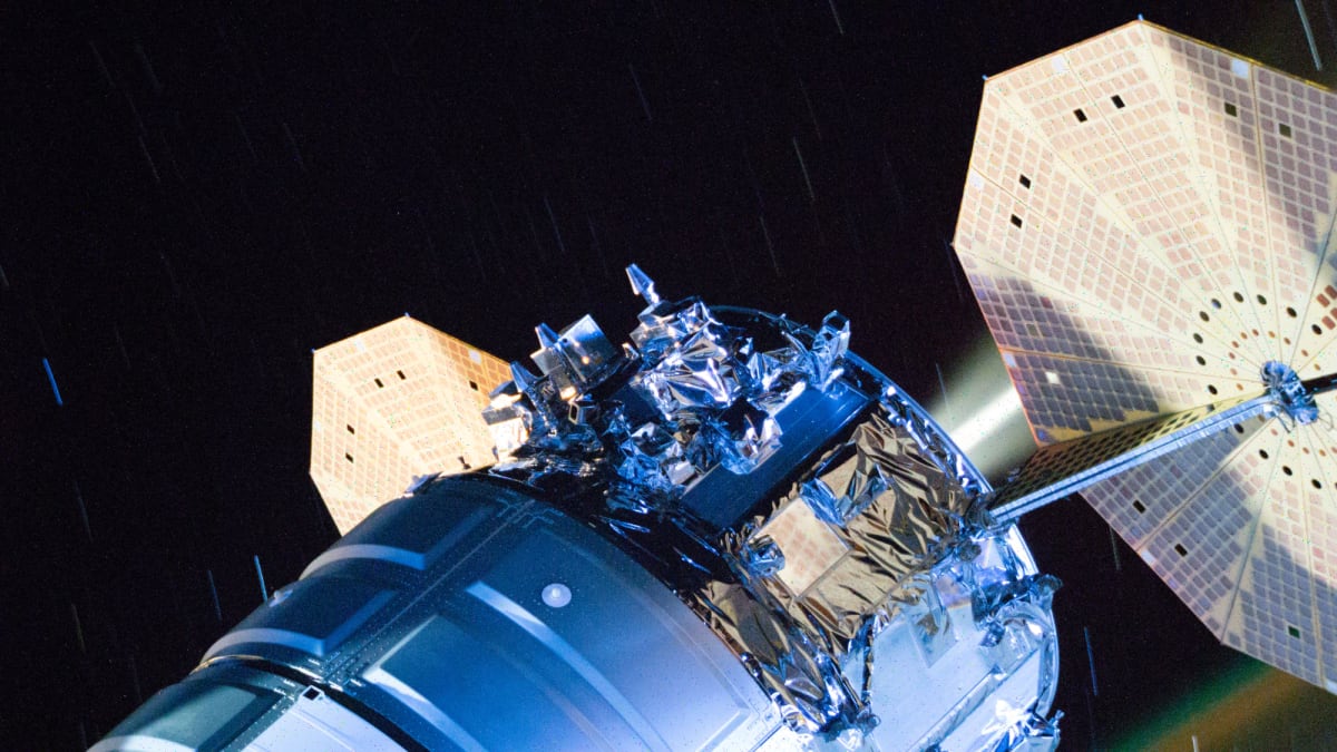
The FLEX and Sentinel-3C satellites launched aboard a Vega C rocket from French Guiana on September 14, marking a major step forward in Earth observation technology. These spacecraft will help scientists tackle everything from food security to climate change with data we've never had access to before.
FLEX, short for Fluorescence Explorer, is making history as the first satellite ever to detect and map plant fluorescence from space. This means it can actually measure how well plants are photosynthesizing across the entire globe, giving farmers and scientists crucial information about crop health and productivity.
The 875-pound satellite will play a vital role in feeding our growing world population. By monitoring vegetation health in real time, FLEX will help improve agricultural management and ensure better food security as climate patterns shift and farming challenges increase.
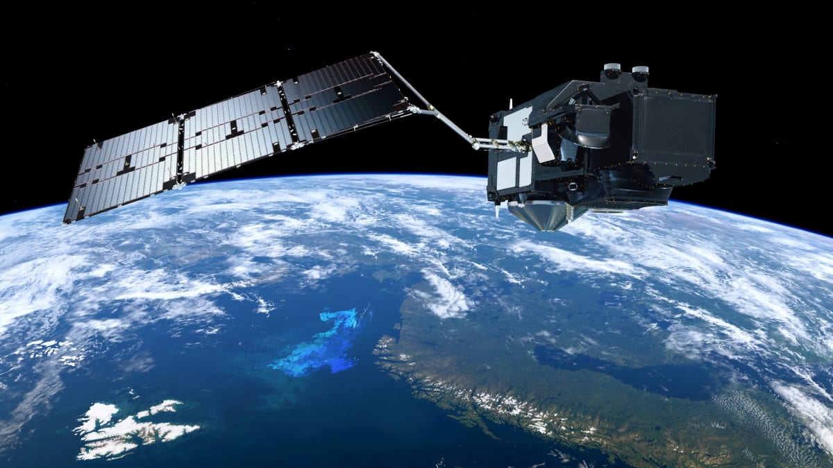
Joining FLEX on this mission is Sentinel-3C, a 2,520-pound workhorse that continues Europe's successful Copernicus Earth observation program. Its older siblings, Sentinel-3A and Sentinel-3B, have been faithfully monitoring our planet since 2016 and 2018, and this new addition ensures that critical work continues without interruption.
Sentinel-3C carries advanced instruments that systematically measure Earth's oceans, land, ice, and atmosphere. The satellite provides near-real-time information that feeds directly into ocean and weather forecasting systems used around the world.
Both satellites will orbit at about 509 miles above Earth, giving them the perfect vantage point to collect comprehensive data about our planet's health. Within less than two hours after launch, both spacecraft were flying freely and beginning their important missions.
The Ripple Effect
The data these satellites collect doesn't just sit in research labs. It flows directly into the tools that help communities prepare for extreme weather, manage water resources, and adapt farming practices to changing conditions. Farmers in drought-prone regions can make better irrigation decisions. Coastal communities get earlier warnings about sea level changes. Climate scientists gain clearer pictures of how vegetation responds to temperature shifts.
This launch represents years of international collaboration between the European Space Agency, the European Union, and dozens of research institutions working toward a common goal: understanding our planet well enough to protect it. The technology aboard these satellites will help us make smarter decisions about everything from urban planning to conservation.
As our climate continues to change, having accurate, real-time data about Earth's systems becomes more critical every day. These satellites give us the knowledge we need to respond wisely and protect the only home we have.
More Images

Based on reporting by Space.com
This story was written by BrightWire based on verified news reports.
Spread the positivity!
Share this good news with someone who needs it
%2Ffile%2Fattachments%2F2997%2FGettyImages-2211967510_856600.jpg)