Explorers Map Shackleton and Scott Shipwrecks in 3D
Canadian scientists created detailed digital replicas of two legendary polar exploration ships resting more than 1,000 feet below the ocean surface. The stunning 3D models preserve the final vessels of explorers Ernest Shackleton and Robert Falcon Scott for future generations.
More than 1,000 feet below the frigid Labrador Sea, two legendary ships from the golden age of polar exploration are getting a second life through cutting-edge technology.
Canadian scientists just completed a groundbreaking expedition to create detailed 3D digital models of the Quest and Terra Nova. These ships carried two of history's most famous explorers on their final journeys over a century ago.
The Quest was Ernest Shackleton's last vessel before his death in 1922. The Terra Nova carried Robert Falcon Scott on his tragic 1910 race to the South Pole. Both ships now rest in darkness on the ocean floor, slowly being reclaimed by nature.
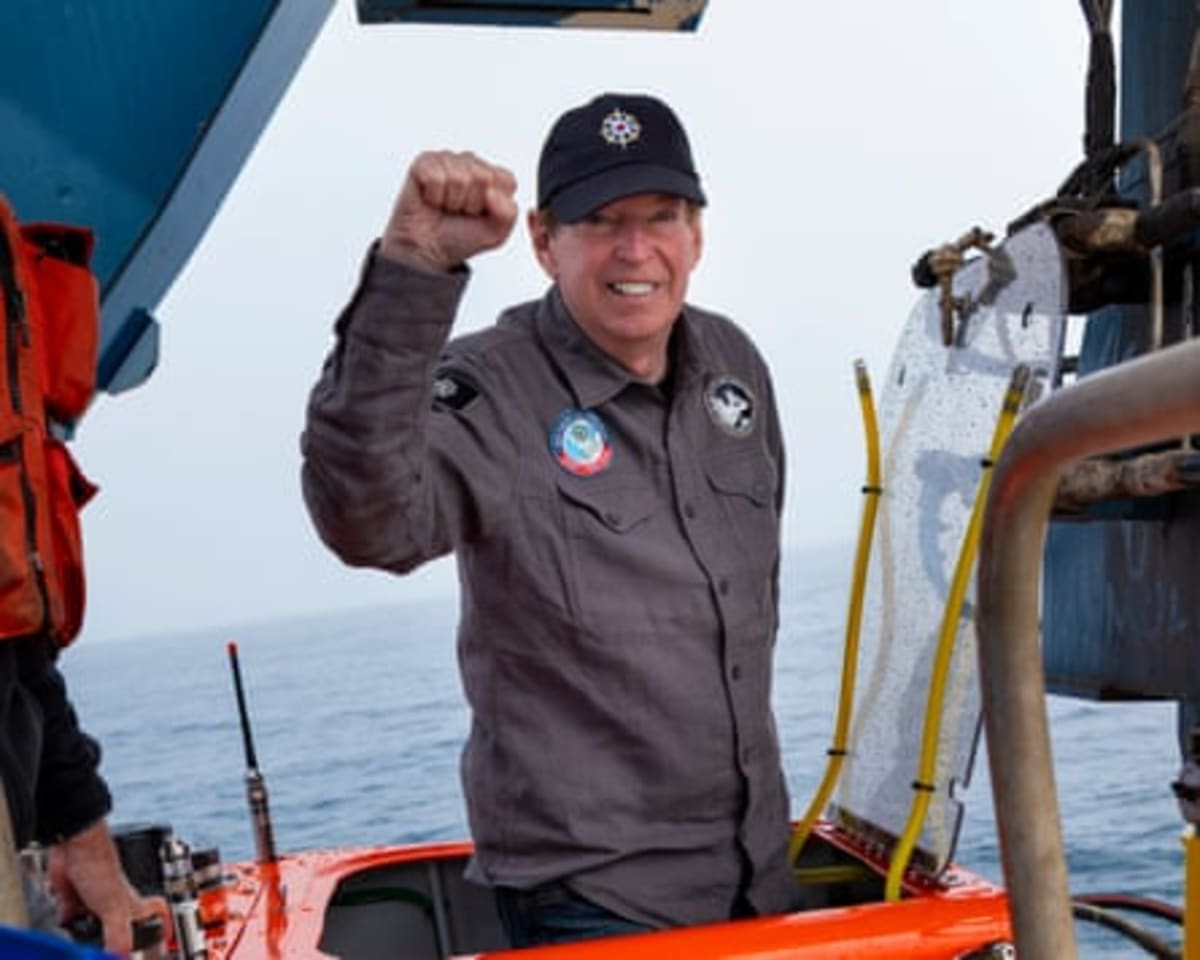
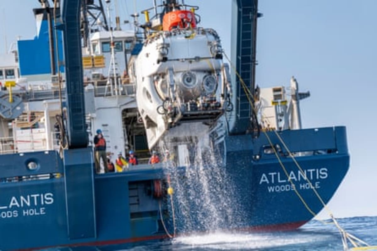
John Geiger, who led the expedition for the Royal Canadian Geographical Society, descended in the legendary submersible Alvin to witness the wrecks firsthand. "To see a very large ship in the abyss, and to realize you are among the first humans to see it, is a powerful experience," he said.
The 21-day July expedition used advanced underwater imaging technology to capture thousands of high-resolution images. These images were stitched together on the spot, revealing the ships in stunning detail on computer screens.
The team watched in real-time as the wrecks "magically appeared" through the scanning process. The technology, developed by Canadian company Voyis, creates what researchers call "digital twins" of the ships.
The Ripple Effect
This expedition represents far more than preserving history. It showcases how new technology is opening vast unexplored frontiers beneath our oceans.
The Alvin submersible recently gained approval to dive 50% deeper than before, reaching depths of 21,300 feet. This expanded range unlocks huge swaths of the ocean that remained unreachable just five years ago.
Marine biologists traveling with the expedition discovered fascinating ecosystems thriving around the wrecks. They also documented troubling evidence of deep-sea fishing nets tangled in the historic sites.
Geiger hopes the project will inspire a new generation of ocean explorers. "There's so little of the ocean that's mapped," he explained. Canada's Arctic territorial waters remain largely unmapped, despite covering enormous areas.
The expedition team emphasized that neither ship holds dark mysteries or unsolved deaths. Instead, the goal was educational and inspirational, showing what modern exploration can achieve.
The detailed 3D models will preserve these historic vessels long after the ocean fully reclaims them. Future students, researchers, and history enthusiasts can explore the ships virtually, experiencing what few humans have witnessed with their own eyes.
The future of ocean exploration looks brighter than ever, powered by technology and curiosity working hand in hand.
More Images


Based on reporting by Guardian Environment
This story was written by BrightWire based on verified news reports.
Spread the positivity!
Share this good news with someone who needs it