IIT Team Predicts Floods Before Rain Falls Using AI
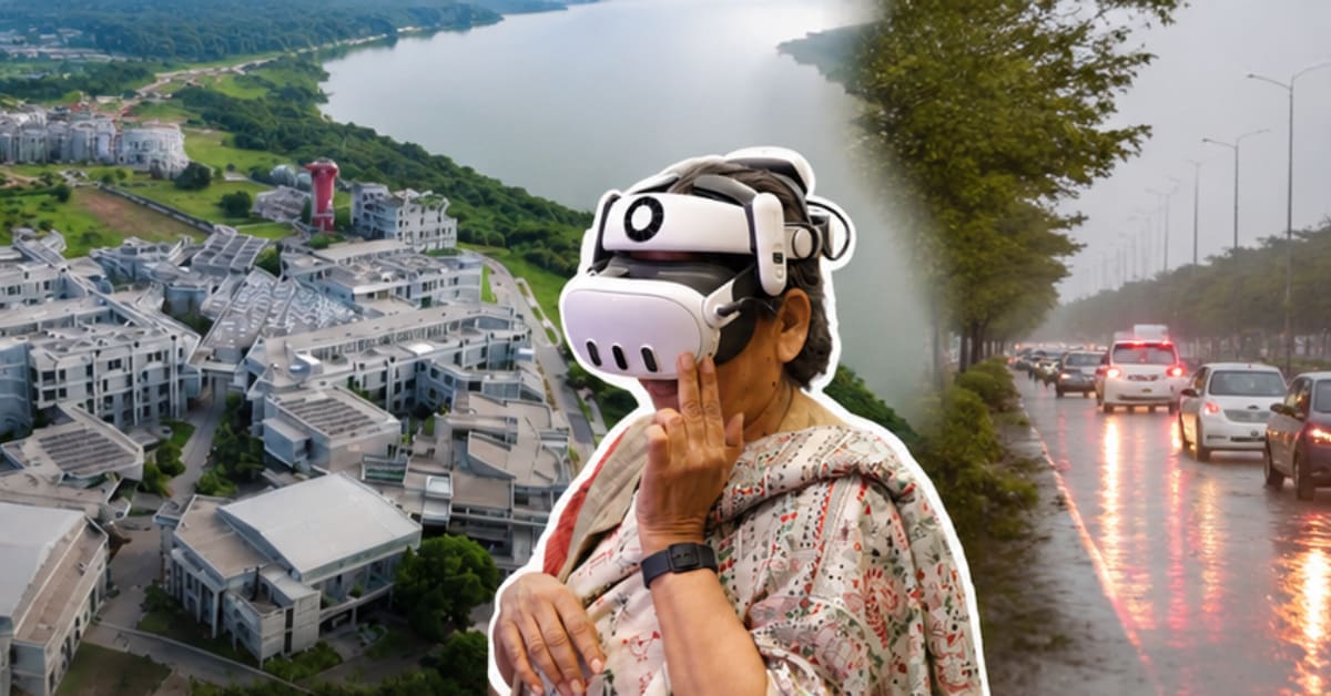
Researchers at IIT Gandhinagar developed an AI system that lets cities rehearse monsoons before they happen, showing officials exactly where flooding will strike and how to respond. The physics-guided technology could transform how India prepares for its annual flood season.
Every monsoon, Indian cities become submerged rivers, with officials scrambling to respond only after roads have vanished and traffic has stopped. But what if cities could see the flood before a single raindrop fell?
At IIT Gandhinagar's AI Resilience and Command Centre, Professor Udit Bhatia and his team built something remarkable: an AI system that predicts exactly where floods will strike, how deep water will rise, and which interventions will actually work. They're calling it a digital twin for cities, and it's already being tested in real urban environments.
The breakthrough came from a simple observation during fieldwork in Surat. City officials didn't need another report explaining what went wrong after flooding damaged their streets. They needed a tool to show them what would happen before the water arrived.
Traditional flood models face a dilemma. Physics-based simulations are accurate but painfully slow, sometimes taking days to generate results. Pure AI models work fast but can ignore the basic laws of how water actually moves.
The IIT team solved this by marrying both approaches. Their physics-guided AI runs rapid simulations while respecting the conservation of mass, energy, and momentum. "You cannot violate physics to get them right," Professor Bhatia explains.
The system works like a flight simulator for floods. Municipal officers can test different scenarios, watch how water would flow through specific neighborhoods, and see which emergency responses would reduce damage most effectively. Former Gujarat Secretary Dr. Vivek Kapadia emphasizes the urgency: "In a flooding situation, you cannot wait for days. You need a solution in a jiffy."
The technology has already handled complex scenarios, from coastal flooding to dam-influenced river systems. The team stress-tested their models against Surat's unique challenges, where the Tapi River intersects with urban development and changing land use patterns.
What makes this different from Western flood models is its understanding of Indian cities. "Indian cities are very different in their typology and architecture," Professor Bhatia notes. "We cannot just take models from the West and apply them here."
The 2,000-square-foot command center brings researchers and city stakeholders together to build tools designed for India's specific realities. The team's work has already been published in Nature Cities, and their research informed actual planning discussions in Surat.
Why This Inspires
This isn't just about technology getting smarter. It's about transforming the exhausting cycle of flood response into proactive preparation. Cities could move from watching helplessly as neighborhoods flood to confidently deploying resources where they'll do the most good.
The implications extend beyond monsoon season. The same digital twin technology could help cities prepare for heat waves, traffic disruptions, and other climate challenges. What started as flood research is becoming a blueprint for resilient urban planning across India.
Cities might soon rehearse disasters the way pilots practice emergency landings, turning crisis response into routine preparation.
More Images
%2Fenglish-betterindia%2Fmedia%2Fmedia_files%2F2026%2F08%2F04%2Fiit-gandhinagar-2026-08-04-17-09-19.png)
%2Ffilters%3Aformat(webp)%2Fenglish-betterindia%2Fmedia%2Fmedia_files%2F2026%2F08%2F04%2Fiit-gandhinagar-2026-08-04-17-10-27.png)
%2Ffilters%3Aformat(webp)%2Fenglish-betterindia%2Fmedia%2Fmedia_files%2F2026%2F08%2F04%2Fiit-gandhinagar-2026-08-04-17-11-26.png)
Based on reporting by The Better India
This story was written by BrightWire based on verified news reports.
Spread the positivity!
Share this good news with someone who needs it