Indigenous Groups Win Voice in Archaeological Mapping
Communities in Mexico and beyond are partnering with archaeologists to ensure laser mapping technology respects their lands and heritage. This shift marks a powerful change from past practices where Indigenous peoples were excluded from research on their own ancestral sites.
When archaeologists want to map ancient sites hidden beneath dense forests, they now face an important question: who gets to decide what happens on Indigenous land?
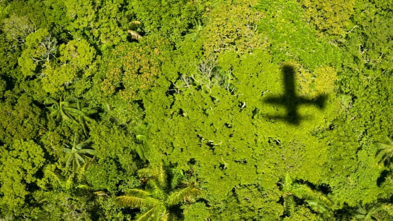
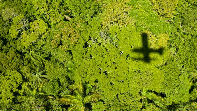
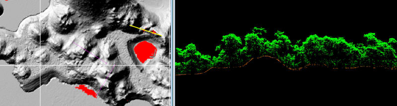
A growing movement is changing how researchers use aerial lidar, a laser technology that can scan thousands of square miles and reveal archaeological sites beneath tree canopies. The shift puts Indigenous communities in the driver's seat.
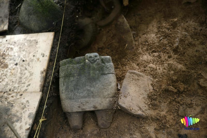
The change comes after troubling cases like Honduras in 2015, where researchers mapped and removed artifacts from La Mosquitia without consulting the Miskitu peoples who have lived there for generations. The media called it a "lost city" discovery, ignoring that local communities had always known about these sites.
MASTA, an organization run by Moskitu peoples, demanded that researchers follow international agreements requiring their consent. Their voices joined a global chorus of Indigenous groups calling for partnership, not extraction.
Now archaeologists are listening. The field is embracing frameworks like the United Nations Declaration on the Rights of Indigenous Peoples, which ensures communities have say over research on their ancestral lands.
Why This Inspires
The real breakthrough isn't just about asking permission. Indigenous communities are becoming active partners in archaeological research, bringing their knowledge and perspectives to projects about their own heritage.
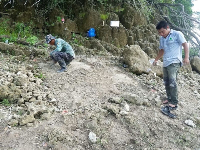
In Mexico's Metzabok region, community members now conduct their own excavations and help interpret findings. They're not subjects of research but collaborators shaping how their history is understood and shared.
This partnership model respects that Indigenous peoples never lost connection to their lands or knowledge of what lies beneath the forest canopy. What outsiders call "discoveries" are often places communities have known about for generations.
The technology itself isn't the problem. Aerial lidar has revealed incredible insights about ancient civilizations and can be a powerful tool for understanding human history. The question is who controls it and who benefits.
As more research teams adopt collaborative approaches, they're proving that better science happens when communities have a voice. Artifacts stay in context, cultural protocols are respected, and knowledge flows both ways.
Indigenous groups worldwide continue pushing for their right to free, prior, and informed consent before any research begins on their lands. Each successful partnership sets a precedent for others.
The future of archaeology looks brighter when everyone has a seat at the table.
More Images
Based on reporting by Live Science
This story was written by BrightWire based on verified news reports.
Spread the positivity!
Share this good news with someone who needs it