Maine Students Unite NASA Data With Tribal Knowledge
Fifth graders from the Pleasant Point Passamaquoddy Reservation combined satellite imagery with elder teachings to study how coastal erosion is reshaping their ancestral home. Their work shows how Indigenous science and modern technology can work together to protect communities facing climate change.
Nine students in a small Maine classroom became scientists by honoring both their ancestors and the sky above them.
At Pleasant Point Passamaquoddy Reservation, known as Sipayik, the ocean has taught generations of Indigenous people how to live with the land. But the coastline is changing faster now, with erosion slowly claiming territory that holds centuries of memory and meaning.
In March 2025, nine fifth graders at Sipayik Elementary School began a groundbreaking project. For five weeks, they studied their changing shoreline using tools their elders might never have imagined, combined with wisdom passed down through generations.
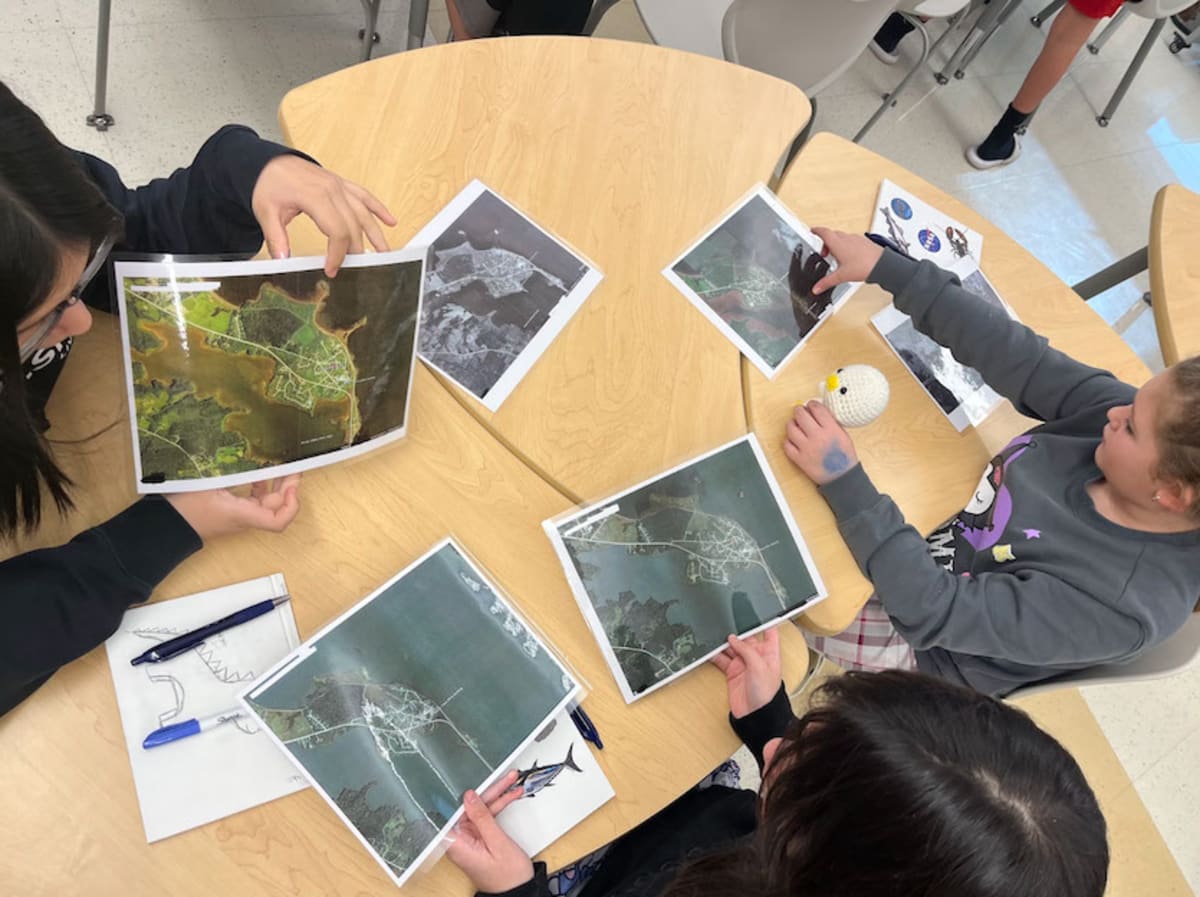
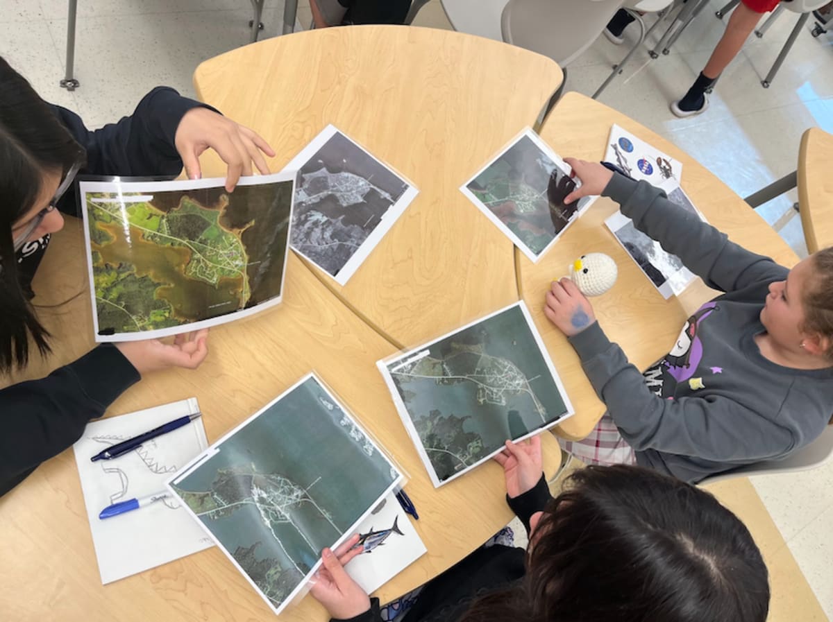
The students walked local beaches with tribal elders, listening to stories about how the coast once looked. They measured current tide lines and compared them to historical markers. Back in the classroom, they examined NASA satellite images showing shoreline changes from 1942 to 2023.
They built erosion trays to understand how waves reshape land. They studied 300-year-old tribal maps alongside modern flood projections. Every lesson connected Western science with Indigenous knowledge, showing students that both ways of understanding the world hold truth.
"Our people were scientists without having to go to school," one observer noted. The students learned that curiosity and careful observation are not new to their community. They have always been part of who they are.
In June 2026, the students traveled 3.5 hours to the Gulf of Maine Research Institute to present their findings to professional scientists. During the question period, someone asked if reading the complex maps had been difficult. One student corrected them with pride: these were not just maps but NASA satellite images.
Why This Inspires
This project proves that the most powerful solutions come from respecting different ways of knowing. The students did not have to choose between honoring their heritage and embracing modern science. They discovered both approaches strengthen each other.
Their work has sparked plans for marsh restoration, more fieldwork with elders, and connections with other Native youth facing similar challenges. When asked if they would continue this work beyond the classroom, every student answered yes.
The story of Sipayik is not just about land washing away. It is about a community that faces change with both ancient wisdom and cutting-edge tools, teaching the next generation that resilience means adapting while holding tight to who you are.
More Images
Based on reporting by NASA
This story was written by BrightWire based on verified news reports.
Spread the positivity!
Share this good news with someone who needs it