Marie Tharp Mapped the Ocean Floor Despite 1950s Sexism
A woman scientist discovered underwater mountains that proved continents once moved together, even though she wasn't allowed on research ships. Her hand-drawn maps changed how we understand Earth itself.
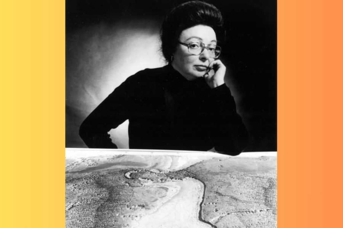
Marie Tharp spent countless hours translating sonar readings into hand-drawn maps in the 1950s, revealing something extraordinary: the ocean floor wasn't flat at all. What she discovered would revolutionize our understanding of planet Earth, but first she had to overcome being dismissed as engaging in "girl talk."
Tharp was a geologist and oceanographic cartographer working alongside colleague Bruce Heezen. Women weren't allowed on research vessels at the time, so while ships collected seafloor data without her, she sat at her desk piecing together thousands of sonar readings like an intricate puzzle.
Her meticulous work revealed stunning underwater landscapes: canyons, ridges, and mountain ranges crisscrossing the Atlantic seafloor. These features suggested something radical. The Earth's surface had actually moved over time.
This directly supported Alfred Wegener's controversial 1912 theory about continental drift and Pangaea, the ancient supercontinent. The mainstream scientific view considered this idea complete nonsense. Even Heezen initially dismissed Tharp's findings as "girl talk."
But Tharp believed in her work. In 1959, famous oceanographer Jacques Cousteau set out to prove her wrong by lowering an underwater camera into the Atlantic. When the footage showed exactly the valley Tharp had predicted, the evidence became undeniable.
Why This Inspires
Despite being right, Tharp was still seen as "merely a technician" while Heezen received most of the credit. She wasn't allowed on a research cruise until 1968, over a decade after her groundbreaking Atlantic map.
Yet she persisted, eventually mapping all the world's oceans. Tharp understood the historic nature of her opportunity. "I had a blank canvas to fill with extraordinary possibilities," she said. "It was a once-in-a-lifetime, once-in-the-history-of-the-world opportunity for anyone, but especially for a woman in the 1940s."
Recognition finally arrived. National Geographic awarded her the prestigious Hubbard Medal in 1978. The Library of Congress named her one of the 20th century's greatest cartographers in 1997.
Today, middle schoolers learn about tectonic plates as basic fact. Every modern map carries a bit of Marie Tharp's signature, proof that brilliant work rises above the barriers placed in its way.
More Images



Based on reporting by Upworthy
This story was written by BrightWire based on verified news reports.
Spread the positivity!
Share this good news with someone who needs it