New Flood Model Helps Rescuers Find Missing People Faster
Scientists created a mapping tool that predicted where flood victims would be carried, helping emergency teams save lives during Spain's devastating 2024 floods. The breakthrough could transform how rescuers respond to future disasters.
A new computer model did more than just map a deadly flood. It helped emergency teams locate missing people swept away by raging waters.
Researchers at the Technical University of Valencia studied the catastrophic October 2024 floods that devastated Valencia, Spain. But they didn't just want to understand what happened. They wanted to create something that could save lives next time.
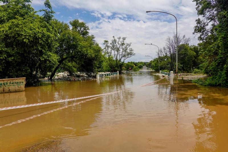
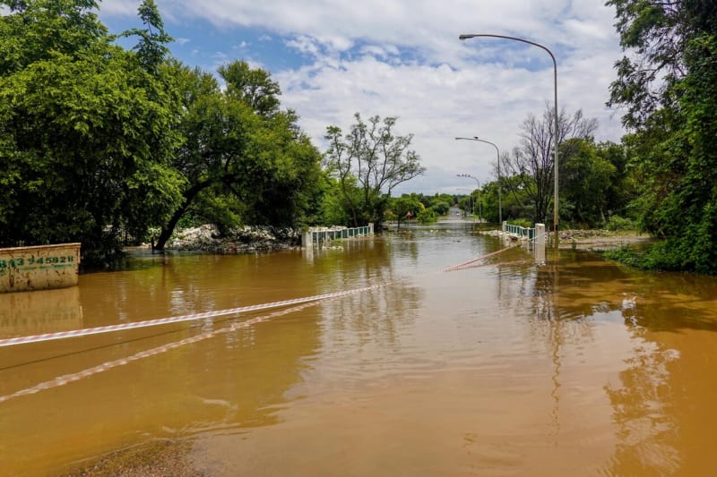
The team, led by Francisco Vallés Morán, built a detailed map showing exactly how water moved through the region. The floods were terrifying in their speed and power. Water reached heights of over 13 feet in some neighborhoods, with currents racing at nearly 18 miles per hour.
The truly innovative part came when researchers tracked where the water's energy disappeared. When fast-moving floodwater slows down, it drops whatever it's carrying. That means people and objects swept away by floods tend to accumulate in predictable spots.
Emergency services used this tool during the actual disaster response. Instead of searching everywhere, rescue teams could focus on the areas most likely to hold missing people. The model gave them a map they could load directly into their devices and use in the field.
The research confirmed something locals already knew from history. The flood followed ancient waterways that hadn't seen major flows in generations. Roads and highways made things worse by blocking water's natural path, creating dangerous backups that increased flooding upstream.
The Ripple Effect
This breakthrough extends far beyond one disaster. Climate change is making extreme floods more common and more intense worldwide. Having a tool that works in real time during emergencies could help communities everywhere prepare better and respond faster.
The model uses publicly available information and open-access tools, meaning emergency services around the world can adapt it to their own regions. They don't need expensive proprietary software or years of specialized training.
What makes this especially powerful is the speed. The model can create reliable simulations quickly enough to guide decisions while disasters are still unfolding. In flood response, every hour matters. Knowing where to search first could mean the difference between life and death.
The research demonstrates that science isn't just about understanding disasters after they happen. It's about building tools that help communities survive them. When researchers work alongside emergency responders, they create solutions that work in the real world, under real pressure.
This flood mapping technology turns academic knowledge into action, transforming how we protect each other when nature's worst arrives at our door.
More Images
Based on reporting by Phys.org - Earth
This story was written by BrightWire based on verified news reports.
Spread the positivity!
Share this good news with someone who needs it