Oklahoma Community Maps 100 Years of Toxic Flooding Risks
Residents near a century-old mining disaster built an interactive map to show how floods still spread toxic waste through their neighborhoods. The tool gives communities power to protect themselves and demand action.
When floodwaters rush through Ottawa County, Oklahoma, they carry more than mud and debris. They sweep up toxic mining waste left behind from nearly a century of zinc and lead extraction, spreading contamination through creeks, soils, and communities.
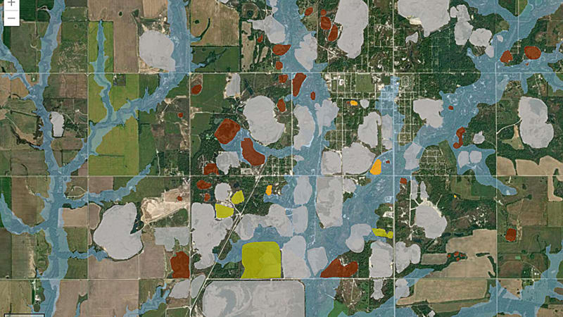
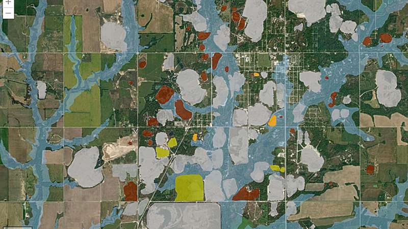
Now locals have a powerful new tool to fight back. Between 2021 and 2023, residents partnered with mapping experts to create an interactive digital map showing exactly how flooding spreads contamination from the Tar Creek Superfund site.
The Tar Creek site stopped mining in 1970, but its legacy lingers. Giant piles of mining waste, toxic water discharge, and unstable ground have poisoned residents and made entire towns unlivable for decades. Ottawa County is home to 10 federally recognized Tribal Nations, with most mining occurring within the Quapaw Reservation.
Members of LEAD, a community organization demanding environmental action, connected with Geographic Information System experts through AGU's Thriving Earth Exchange. This program matches local groups with volunteer scientists to tackle environmental challenges.
The collaboration proved essential. While technical experts handled the actual map building, local residents made every decision about what information to include. They chose to display mining waste locations, tribal land boundaries, flood zones, soil types, aquifers, fault lines, and wells in separate, interactive layers.
The Ripple Effect
The map does more than display data. It tells a story that residents can share with officials, neighbors, and anyone who needs to understand the ongoing health risks facing their community.
Community members insisted the project go beyond just creating the map. They're using it as an education and activism tool, showing decision makers exactly where dangers lurk and which areas need immediate attention. Production without activism, the team agreed, would leave the work unfinished.
This approach to map making represents something bigger than technology. When communities control their own data and storytelling tools, they gain power to demand change and protect their families from environmental harm.
The Tar Creek project shows what's possible when local knowledge meets technical expertise. Residents who've lived with contamination for generations now have scientific proof in their hands, ready to advocate for the cleanup and protection their community deserves.
More Images
Based on reporting by Phys.org
This story was written by BrightWire based on verified news reports.
Spread the positivity!
Share this good news with someone who needs it