Starlink Satellites Map Earth's Hidden Atmosphere
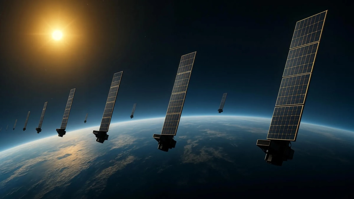
Scientists just turned 1,200 Starlink satellites into an atmospheric scanner, revealing a hard-to-see layer of air 500 kilometers above Earth. The breakthrough could make space safer as crowded orbits increase collision risks.
Researchers at Kyoto University found a brilliant way to see something invisible: the thin layer of atmosphere that slows down satellites hundreds of kilometers above Earth.
By tracking how 1,200 Starlink satellites gradually lose altitude, the team created the first detailed map of atmospheric density at 500 kilometers up. This region, called the thermosphere, makes up 99 percent of the upper atmosphere but has been notoriously difficult to measure.
The technique works like a medical CT scan, but for the sky. As satellites drift through thin air, atmospheric drag pulls them down bit by bit. By analyzing these tiny orbital changes in publicly available data, scientists reconstructed a two-dimensional snapshot showing where the atmosphere is thicker or thinner across different latitudes and longitudes.
Lead researcher Mamoru Yamamoto says the project required bringing together space scientists and engineers who don't normally collaborate. "Reading papers from both research fields, we realized that deeper dialogue between researchers from both fields is necessary," he explains.
The team's map matched up remarkably well with measurements from the European Space Agency's SWARM satellites, which take direct atmospheric readings along their paths. This validation proves the new method works without requiring expensive new equipment or missions.
Why This Inspires
As space gets more crowded with satellites and debris, knowing exactly how the atmosphere affects orbits becomes critical for safety. Better atmospheric maps mean more accurate predictions of where satellites will be, reducing the chance of devastating collisions.
The research builds on the team's earlier work tracking how atmospheric density changes over time. Now, adding geographic detail creates a fuller picture of this mysterious region that sits between Earth and space.
The technique could eventually provide near real-time atmospheric monitoring around active satellites. That capability would improve space weather forecasting and help satellite operators make smarter decisions about their missions.
What makes this breakthrough especially exciting is its accessibility. Instead of launching specialized instruments, researchers used data that's already public. The Starlink constellation, built for internet service, became an unintended scientific instrument serving everyone.
As thousands more satellites launch in coming years, this approach could scale up naturally, providing even better atmospheric maps without additional cost. The sky itself is becoming a sensor network.
Based on reporting by Science Daily
This story was written by BrightWire based on verified news reports.
Spread the positivity!
Share this good news with someone who needs it