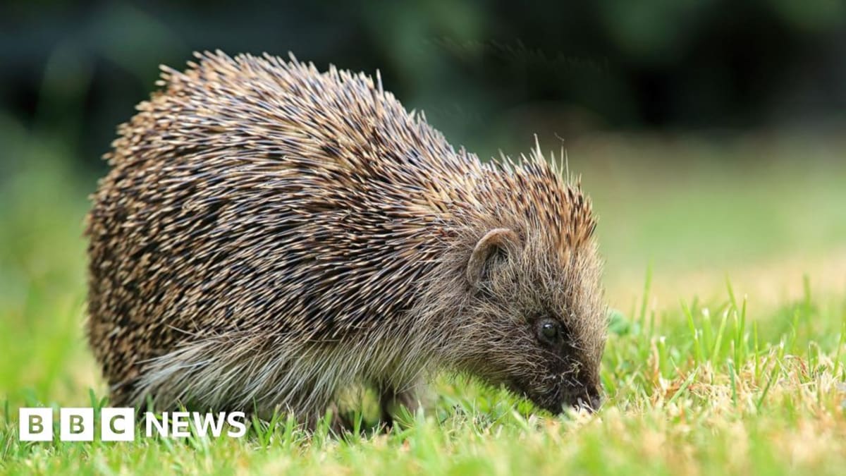
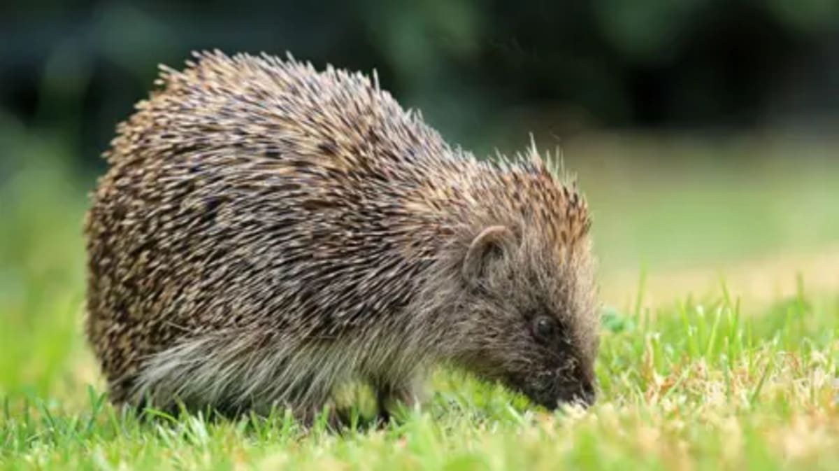
UK Hedgehogs Get Satellite Tracking to Reverse Decline
Scientists at Cambridge University are using satellites and AI to map hedgehog habitats across Britain, helping reverse a dramatic 75% population decline in rural areas since 2000. The technology can spot individual hedgerows from space and predict hidden wildlife havens to guide conservation efforts.
Britain's beloved hedgehogs are getting a high-tech lifeline as scientists deploy satellites and artificial intelligence to halt their alarming disappearance.
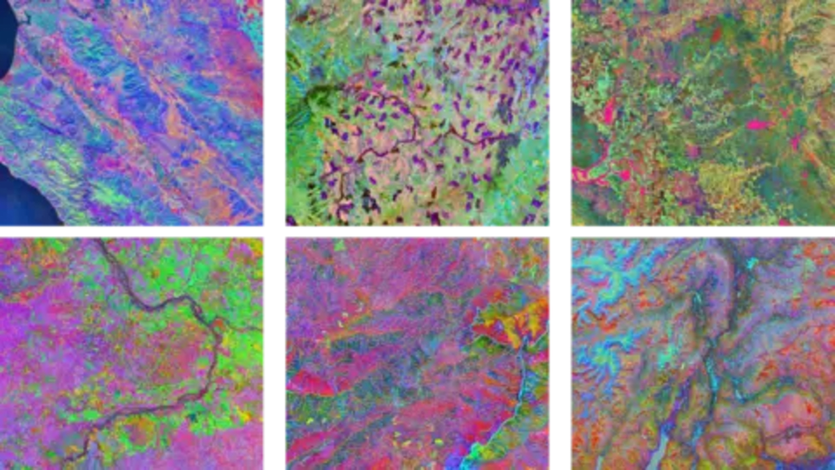
Researchers at the University of Cambridge have created Tessera, an AI tool that analyzes satellite images to pinpoint exactly where hedgehogs live and where their habitats are vanishing. The system maps British landscapes in stunning detail, right down to individual hedgerows where the spiky mammals forage and nest.
The technology solves a major conservation puzzle. Even when clouds obscure satellite views, the AI can accurately predict which areas make perfect hedgehog homes based on patterns it has learned from clear images.
Scientists are combining this space-based data with tiny GPS trackers attached to hedgehogs on the ground. The team affectionately calls these tracker-wearing animals "digi-hogs," and they're providing real-time data about how hedgehogs move through countryside and neighborhoods.
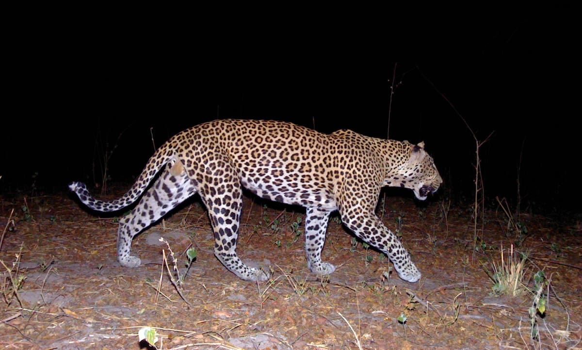
The stakes are high. Hedgehog populations have crashed by up to 75% in rural UK areas since 2000, earning them a "Near Threatened" listing from international conservation authorities. The common western European hedgehog is Britain's only native species, making their protection especially urgent.
Professor Silviu Petrovan from People's Trust for Endangered Species says the AI can reveal specific barriers preventing hedgehogs from finding food and mates. Understanding these obstacles means conservationists can design better solutions, from wildlife corridors to protecting key habitat patches.
The Ripple Effect
The Tessera system required training on roughly 20 petabytes of data, equivalent to 10 billion standard photos. When university computers hit their limits, researchers installed extra processors under their desks to keep going. A recent partnership with tech companies AMD and Vultr has expanded their capabilities even further.
The technology isn't just saving hedgehogs. More than 100 research groups worldwide now use the open-source Tessera system for projects ranging from farmland monitoring to tracking crop rotations across British agriculture.
Professor Anil Madhavapeddy, who leads the planetary computing work at Cambridge, explains that satellite data normally requires complex processing to remove clouds and adjust for lighting changes. Tessera handles all that complexity automatically, giving scientists easy-to-use maps where they can ask specific questions about anything visible from space.
The hedgehog project can also track how new housing developments and environmental changes affect wildlife corridors over time, helping planners make smarter decisions about where and how to build.
Conservation groups across Europe are watching closely, hoping the British experiment can be replicated to protect hedgehog populations throughout their range.
More Images

Based on reporting by BBC Science
This story was written by BrightWire based on verified news reports.
Spread the positivity!
Share this good news with someone who needs it