UN Adopts Map Showing Africa's True Size
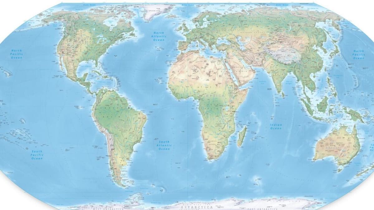
The United Nations voted 164-1 to recommend a new world map that accurately shows Africa is 14 times larger than Greenland. The shift corrects centuries of distortion from traditional maps that made continents near the equator appear smaller.
A new world map just got overwhelming support at the United Nations, and it's fixing a problem that's shaped how we see our planet for over 450 years.
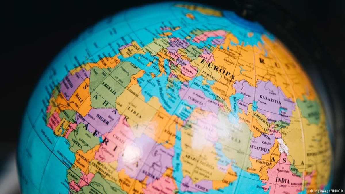
On Friday, 164 countries voted to adopt the Equal Earth projection, a map that shows the true sizes of continents instead of the distorted view most of us grew up with. The traditional Mercator map, created in 1569 for ship navigation, makes landmasses near the poles look huge and those near the equator look tiny.
The difference is staggering. On old maps, Greenland appears roughly the same size as Africa. In reality, Africa is 14 times larger.
Several African nations led the push for change, with Togo's Foreign Minister Robert Dussey explaining that maps "shape our understanding of the world" and influence how generations see themselves and others. When maps present a distorted view, they pass down inaccurate perceptions through classrooms and culture.
The campaign to correct this visual error gained momentum through groups like #CorrectTheMap, which pointed out that you could fit the United States, China, India, Japan, Mexico, and much of Europe inside Africa with room to spare. Yet most world maps have never shown this reality.
France co-sponsored the resolution and announced it would also abandon the Mercator projection in favor of Equal Earth. French Foreign Minister Jean-Noel Barrot acknowledged that "changing maps obviously doesn't change the world," but called correcting the distortion "an act of truth."
The Ripple Effect
Togo plans to replace all school maps by the end of this year. France is making the same commitment. As these countries update their classrooms, children will grow up with a more accurate understanding of geography and the relative importance of different regions.
The resolution doesn't ban the Mercator map for navigation, where it's still useful. It simply recommends the Equal Earth projection for general use, education, and understanding our shared planet.
The vote wasn't unanimous. The United States cast the only vote against it, calling it an "ideological agenda." Six countries abstained. But the overwhelming support from 164 nations sends a clear message about the value of accuracy in how we represent our world.
Maps teach us more than geography. They shape how we value different places and people, often without us realizing it. Getting them right matters for the next generation.
Based on reporting by DW News
This story was written by BrightWire based on verified news reports.
Spread the positivity!
Share this good news with someone who needs it