UN Adopts New Map Showing Africa's True Size
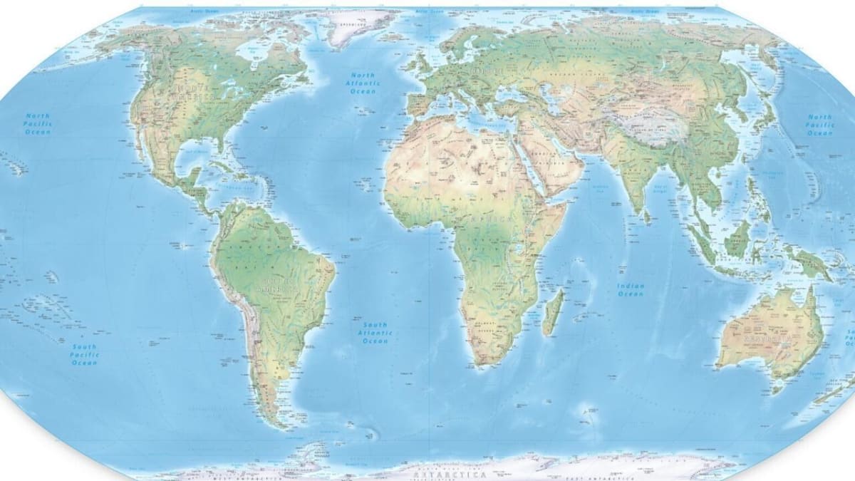
The United Nations just voted to replace a 450-year-old map that makes Africa look smaller than it really is. The new Equal Earth map corrects this distortion, showing continents at their actual sizes.
The UN General Assembly voted Friday to ditch a centuries-old world map that's been shrinking Africa and inflating Europe on classroom walls and textbooks worldwide. The resolution passed with backing from 164 countries.
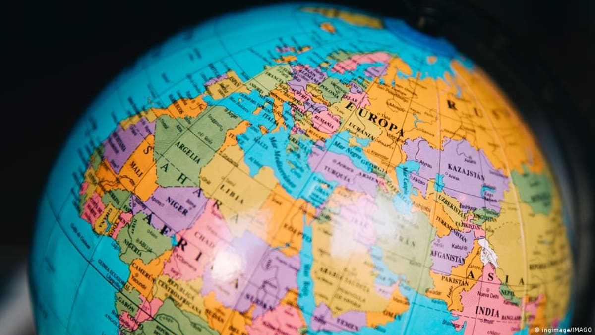
For over 450 years, most of us have learned geography from the Mercator projection, designed in 1569 for sailors navigating the seas. But that map has a big problem: it makes continents near the equator look much smaller than they really are.
On the Mercator map, Greenland appears almost as large as Africa. In reality, Africa is 14 times bigger.
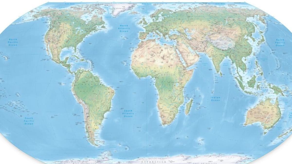
The new Equal Earth projection shows what our world actually looks like. Africa, Latin America, South Asia, and Oceania appear vastly larger, while Europe and North America shrink to their true proportions.
Several African countries led the push for this change, with France co-sponsoring the resolution. Togo's foreign minister Robert Dussey explained that maps "shape our understanding of the world" and influence how generations see each other.
The challenge comes from flattening a round planet onto flat paper. The Mercator map prioritized accurate shapes and angles for navigation, but sacrificed size accuracy in the process.
The Ripple Effect
Cartographers created the Equal Earth projection in 2018 specifically to show continents at their correct relative sizes. Schools, governments, and organizations worldwide can now adopt it for teaching and official use.
France announced Friday it would immediately abandon the Mercator projection in favor of the new map. Other countries are expected to follow, updating textbooks and classroom materials in coming years.
The shift matters beyond simple accuracy. When children grow up seeing certain regions artificially enlarged and others diminished, it shapes their perception of importance and influence on the world stage.
As French Foreign Minister Jean-Noël Barrot noted, changing maps doesn't change the world itself. But showing Earth as it truly is marks an important step toward correcting distortions that have lasted for centuries.
More Images
Based on reporting by France 24 English
This story was written by BrightWire based on verified news reports.
Spread the positivity!
Share this good news with someone who needs it