UN Turns Satellites Into Climate Defense Tools for 56 Nations
The United Nations just launched two programs that transform satellite data into practical tools for fighting climate threats and building stronger economies. Small island nations and disaster-prone regions will get AI-powered flood models and digital twins to plan evacuations and save lives.
Space technology is coming down to Earth in the most helpful way possible. The United Nations just launched two initiatives that will help countries use satellite data to predict floods, strengthen industries, and prepare communities for climate disasters.
Space4Industry and Space4Resilience represent a practical shift in how space technology serves people on the ground. Instead of space tools staying locked in research labs, they're now heading straight to governments and communities that need them most.
Space4Industry brings together satellite imagery, GPS navigation, and communications networks to help countries improve infrastructure, manufacturing, energy systems, and logistics. The program creates partnerships between governments, industries, and space agencies to design solutions that match what each region actually needs. No one-size-fits-all approaches here.
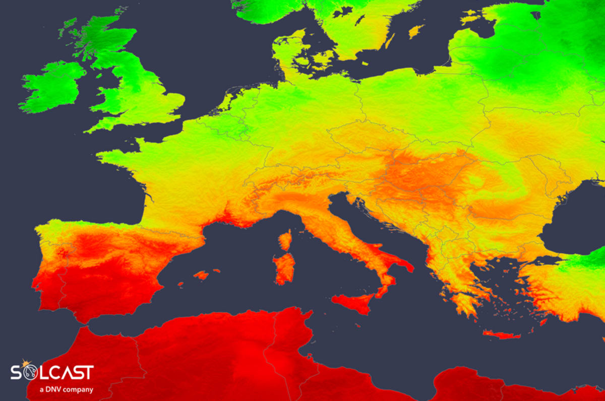
The climate-focused sister program, Space4Resilience, serves all 56 Commonwealth nations with special attention to small island states facing the biggest climate risks. These are the places where rising seas and extreme weather aren't distant threats but present dangers.
Here's where it gets really practical. Space4Resilience uses artificial intelligence to create digital twins of real landscapes. These computer models combine satellite observations with simulations to show exactly what could happen during floods, sea-level rise, or other environmental emergencies.
Governments can now test different scenarios before disasters strike. They can figure out the best evacuation routes, decide where to build protective infrastructure, and make smarter land-use decisions based on actual data instead of guesswork.
The United Nations Office for Outer Space Affairs is already testing the approach in Brazil's Rio Grande do Sul state. They're building flood simulation models that show local officials exactly which areas face the highest risks and when.
The Ripple Effect
What makes these programs special is that countries don't just receive technology and figure it out alone. They actively shape how the tools work for their specific challenges. Training programs will help national agencies transform raw satellite data into operational tools their emergency responders can actually use.
Small island developing states stand to benefit enormously. These nations often lack the resources to develop their own climate modeling systems, yet they face some of the most severe climate impacts on the planet. Now they'll have access to the same satellite technology and AI modeling that wealthier nations use.
The programs also break down the isolation that has limited progress before. Instead of scattered pilot projects that fade away, Space4Industry and Space4Resilience build long-term partnerships designed to grow stronger over time.
Dozens of countries will soon have the power to see their climate future more clearly and take action today to protect their people tomorrow.
More Images
Based on reporting by Google News - Climate Solution
This story was written by BrightWire based on verified news reports.
Spread the positivity!
Share this good news with someone who needs it