UN Votes 164-1 to Fix Maps That Shrink Africa
The United Nations just voted overwhelmingly to encourage the world to stop using centuries-old maps that make Africa look far smaller than it really is. It's a simple change with profound meaning: helping us see the world as it truly is.
The world map you grew up with probably lied to you about Africa's size.
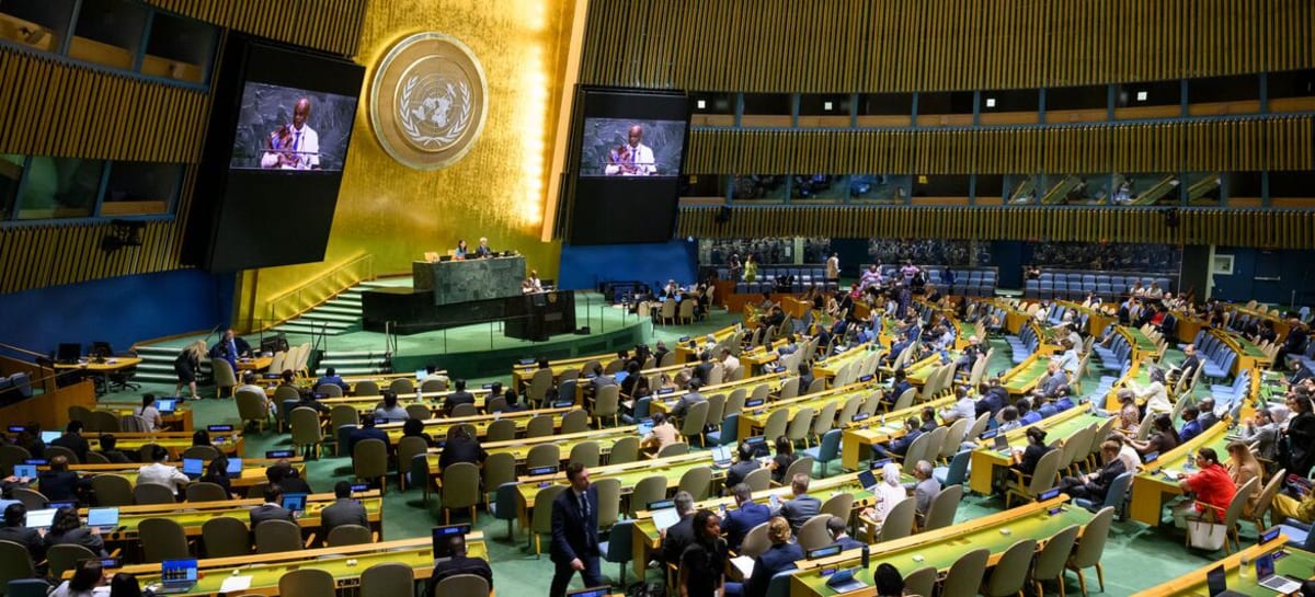
On Friday, 164 countries voted to encourage governments, schools, and tech companies worldwide to stop using the 16th-century Mercator map projection, which makes Africa appear much smaller than it actually is. Only the United States voted against the resolution.
Here's the problem: Greenland looks roughly the same size as Africa on most world maps. In reality, Africa is 14 times larger. The distortion comes from the Mercator projection, created in 1569 by a Flemish cartographer to help sailors navigate by keeping compass directions straight on paper.
That map was brilliant for its original purpose. But it distorts area dramatically, making lands near the equator look tiny while enlarging northern countries like the United States, Russia, and those in Europe.
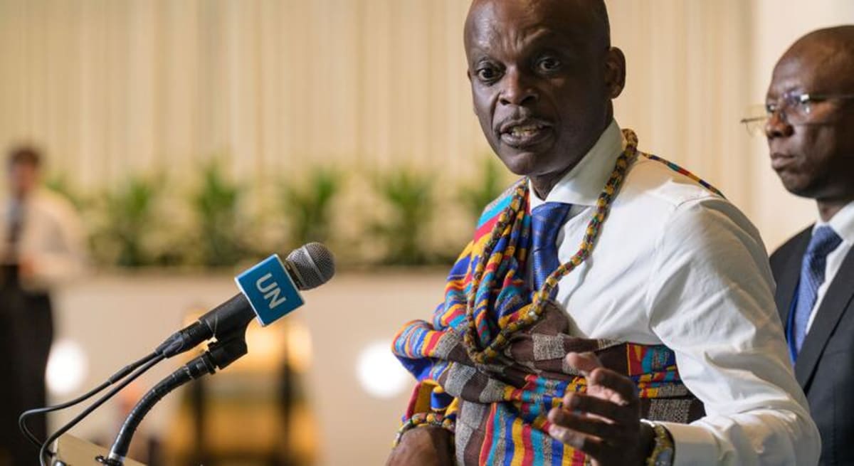
"Maps shape our understanding of the world," said Robert Dussey, Togo's foreign minister, who led the campaign. "They guide education, nourish the imagination, and influence collective perceptions."
The resolution doesn't ban Mercator or force countries to use one specific map. Instead, it encourages the use of equal-area projections like Equal Earth, developed in 2018, which accurately show the true relative sizes of continents.
France announced hours before the vote that it would stop using Mercator for world maps. Under the more accurate projection, France itself will appear smaller, not Africa bigger, because the change removes the exaggeration given to countries farther from the equator.
The Ripple Effect
This vote represents something bigger than cartography. It's about correcting generations of subtle messaging that minimized an entire continent in classrooms, newsrooms, and boardrooms worldwide.
When students see Africa depicted as small, it shapes their mental model of the world's geography and importance. When business leaders glance at distorted maps, it subtly influences how they think about markets and populations.
The resolution calls fixing these distortions an act of "cognitive justice," acknowledging that how we represent the world matters deeply. African nations, backed by the African Union, spent years building support for this moment.
Even the debate itself educated millions. Social media exploded with people sharing true-size comparisons, many genuinely shocked to learn that Africa is larger than the United States, China, India, Japan, and all of Europe combined.
No flat map can perfectly show our round planet. But we can choose projections that don't accidentally shrink entire continents and the billion people who call them home.
Sometimes changing how we see the world is the first step to seeing it more clearly.
More Images
Based on reporting by UN News
This story was written by BrightWire based on verified news reports.
Spread the positivity!
Share this good news with someone who needs it