UN Votes to Show Africa's True Size on World Maps
For 450 years, the world's most popular map has shrunk Africa to look smaller than it really is. The United Nations just voted to fix that distortion and show the continent at its actual massive size.
The map you grew up with has been lying about how big Africa really is, and the United Nations just decided to set the record straight.
For over four centuries, the Mercator projection map has dominated classrooms, textbooks, and digital screens worldwide. The problem? It makes Africa look far smaller than it actually is, distorting our understanding of the continent's true scale.
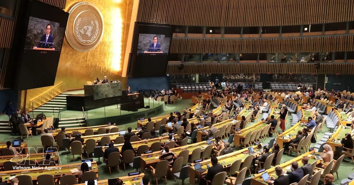
The UN recently voted to adopt a more accurate map projection that shows Africa at its real size. The change corrects a geographical misrepresentation that's shaped how billions of people see the world.
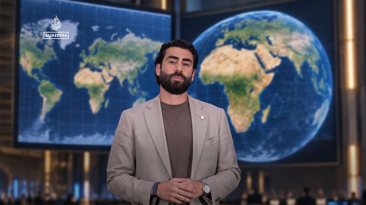
Here's the eye-opening reality: Africa is absolutely enormous. The continent can fit the United States, China, India, Japan, and most of Europe inside its borders. Yet on traditional Mercator maps, it appears roughly the same size as Greenland, which is actually 14 times smaller.
The Mercator projection was created 450 years ago to help sailors navigate the seas. It stretched landmasses near the poles to make straight-line navigation easier. That meant Greenland, North America, and Europe appeared artificially large, while equatorial regions like Africa got visually shrunk.
The Ripple Effect
This map correction does more than update geography textbooks. It changes how we literally see our world and each other.
When Africa appears smaller on maps, it subtly reinforces outdated ideas about the continent's importance and scale. Accurate maps help students, leaders, and citizens understand Africa's true geographic significance as the world's second-largest continent.
The shift reflects growing awareness about how cartography shapes perception. Several schools and institutions worldwide have already adopted more accurate projections like the Gall-Peters or AuthaGraph maps in recent years.
This UN vote gives global legitimacy to a movement that's been building for decades. Cartographers and educators have long advocated for map projections that don't sacrifice accuracy for convention.
The world is finally ready to see Africa as it truly is: vast, central, and impossible to ignore.
Based on reporting by Al Jazeera English
This story was written by BrightWire based on verified news reports.
Spread the positivity!
Share this good news with someone who needs it