US-India Satellite Reveals Hidden 'Hummingbird' in Antarctica
A new Earth-observing satellite is now sharing radar images that see through snow and ice, revealing hidden details scientists never had access to before. The first public data release includes a stunning Antarctic image that looks just like a hummingbird.
Scientists just opened access to powerful new radar technology that can see beneath Earth's frozen surfaces, and the first images are already revealing secrets hidden in Antarctica.
As of July 20, anyone can access data from NISAR, a satellite launched last year through a partnership between NASA and India's space agency. The satellite circles Earth twice every 12 days, capturing detailed radar images of nearly all the planet's land and ice.
Unlike regular cameras that only show what's visible on the surface, NISAR's radar penetrates snow and ice to reveal what lies beneath. This breakthrough technology will help researchers track melting glaciers, monitor earthquakes and landslides, and watch how forests and wetlands change over time.
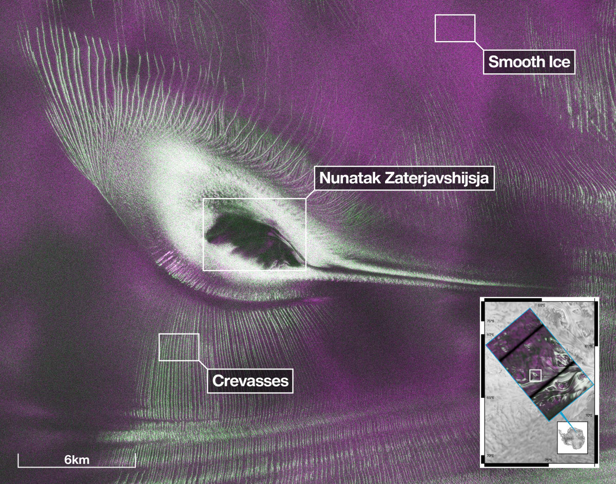
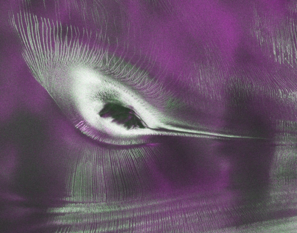
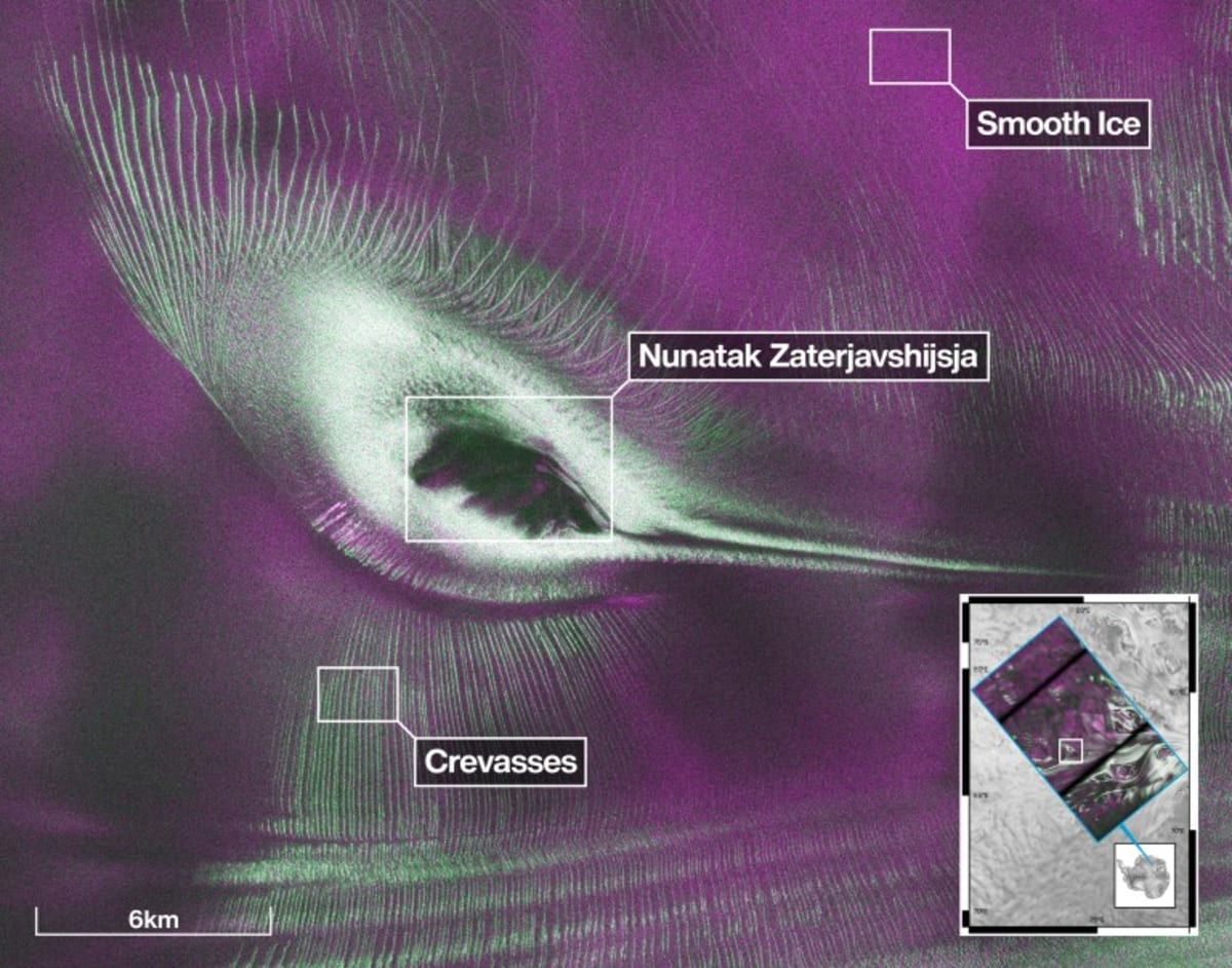
One of the first images released captures a mountaintop called Nunatak Zaterjavshijsja in East Antarctica, surrounded by flowing ice. As the glacier moves around the mountain, deep cracks called crevasses fracture the surface in intricate patterns. In the radar image, these appear as sharp green lines against magenta smooth ice.
The striking result looks remarkably like a hummingbird in flight, where science meets serendipity.
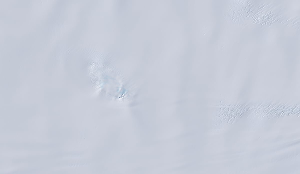
"With NISAR we're seeing what's hidden beneath the surface," said Seongsu Jeong, the NASA engineer who created the image. The same scene photographed in regular light appears almost entirely white, with only subtle shadows hinting at the mountain and fractured ice below.
Why This Inspires
The timing couldn't be better. As NISAR approaches its first anniversary in space this July 30, the mission teams from both countries are celebrating a year of successful testing and calibration. Now they're sharing their tools with the world.
Researchers worldwide can use this data to respond faster to natural disasters, understand how climate affects ice sheets, and monitor changes in ecosystems. The technology reveals details that were simply invisible before, turning blank white landscapes into rich maps of hidden structure and movement.
The collaboration between American and Indian scientists shows what's possible when nations work together on challenges that affect everyone. NISAR captures images of urban grids, farmland, and natural features across the globe, building a detailed picture of our changing planet.
This hummingbird won't be the last beautiful discovery hiding in plain sight.
More Images
Based on reporting by NASA
This story was written by BrightWire based on verified news reports.
Spread the positivity!
Share this good news with someone who needs it