NASA Satellite Maps Earth's Rivers in Unprecedented Detail
A groundbreaking satellite mission is revealing how the world's rivers pulse and flow like never before, tracking 127,000 river segments across an entire year. The technology is solving mysteries that have stumped scientists for decades.
📺 Watch the full story above
For the first time ever, scientists can watch Earth's rivers breathing from space.
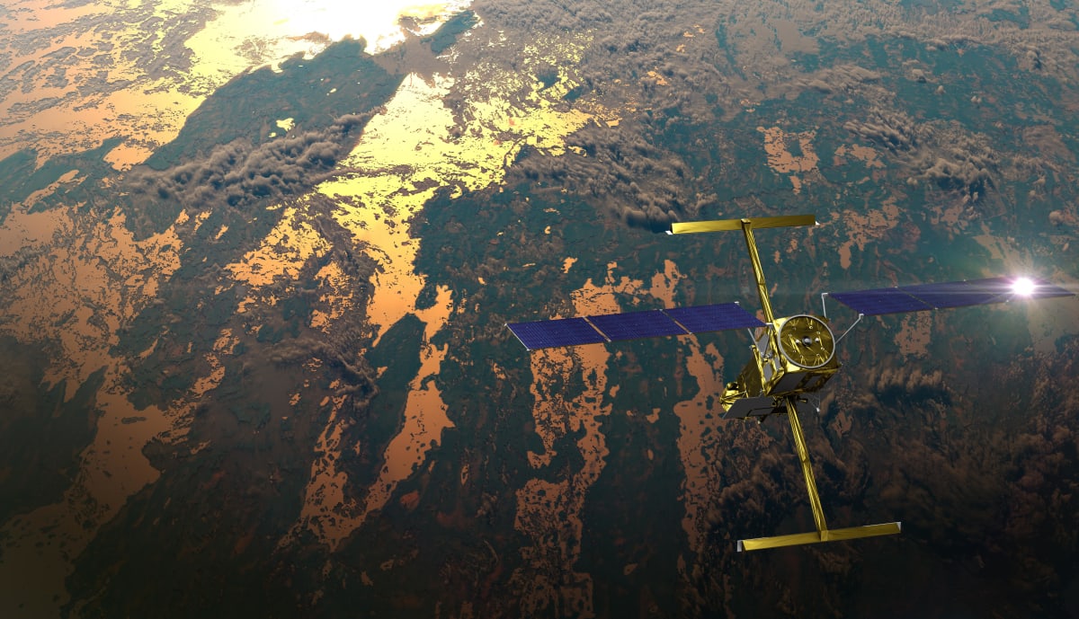
The SWOT satellite, launched by NASA and France in 2022, just completed its first full year of tracking nearly all the world's major rivers. The results reveal surprising patterns in how water moves across our planet, including some rivers behaving nothing like scientists expected.
Over 12 months, the satellite measured 127,000 river segments rising and falling with the seasons. Together, these rivers swelled and shrank by 83 trillion gallons of water. That's enough to fill 68 million Olympic swimming pools.
The Amazon River alone varied by more than 45 trillion gallons during the year, despite experiencing record drought. That single river's fluctuation could cover all of California in more than a foot of water.
But the Nile River delivered the biggest surprise. The world's longest river barely changed at all, varying by only 2.2 trillion gallons. Scientists believe dams and drought may explain the mystery, though they're still investigating.
What makes SWOT revolutionary is how it sees water. Previous satellites could only measure river height or width separately, forcing scientists to guess at the complete picture. SWOT measures both simultaneously using radar that bounces microwaves off water surfaces, creating the first true 3D maps of Earth's rivers.
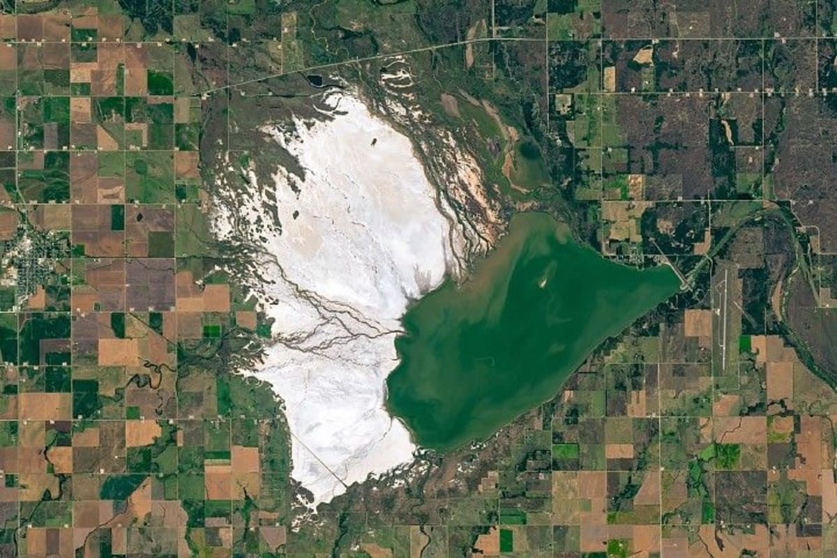
The technology is revealing something that's been nearly impossible to see before: the actual shape of riverbeds and banks hidden beneath the water. Scientists found channels ranging from steep gorges to gentle slopes, with some water levels varying by more than 32 feet from season to season.
These underwater maps matter for everything from predicting floods to planning shipping routes. Many remote rivers have never been surveyed by boat or ground crews, leaving huge gaps in our understanding of how water moves through landscapes.
Why This Inspires
This isn't just about better maps. Understanding how rivers flow helps communities prepare for floods, manage water supplies during droughts, and protect ecosystems that depend on seasonal water changes.
The satellite is already tracking tsunamis and mapping seafloor features from orbit. As scientists gather more data, they'll untangle questions that have puzzled humanity for generations: how much rainwater actually reaches rivers, how fast do remote rivers flow, and where does all that water go.
Cedric David, who leads the research team at NASA's Jet Propulsion Laboratory, calls this just the beginning. Each month of new observations brings clearer pictures of the water systems that sustain life on Earth.
The mission proves that sometimes the best way to understand our home planet is to step back and look at the whole picture from above.
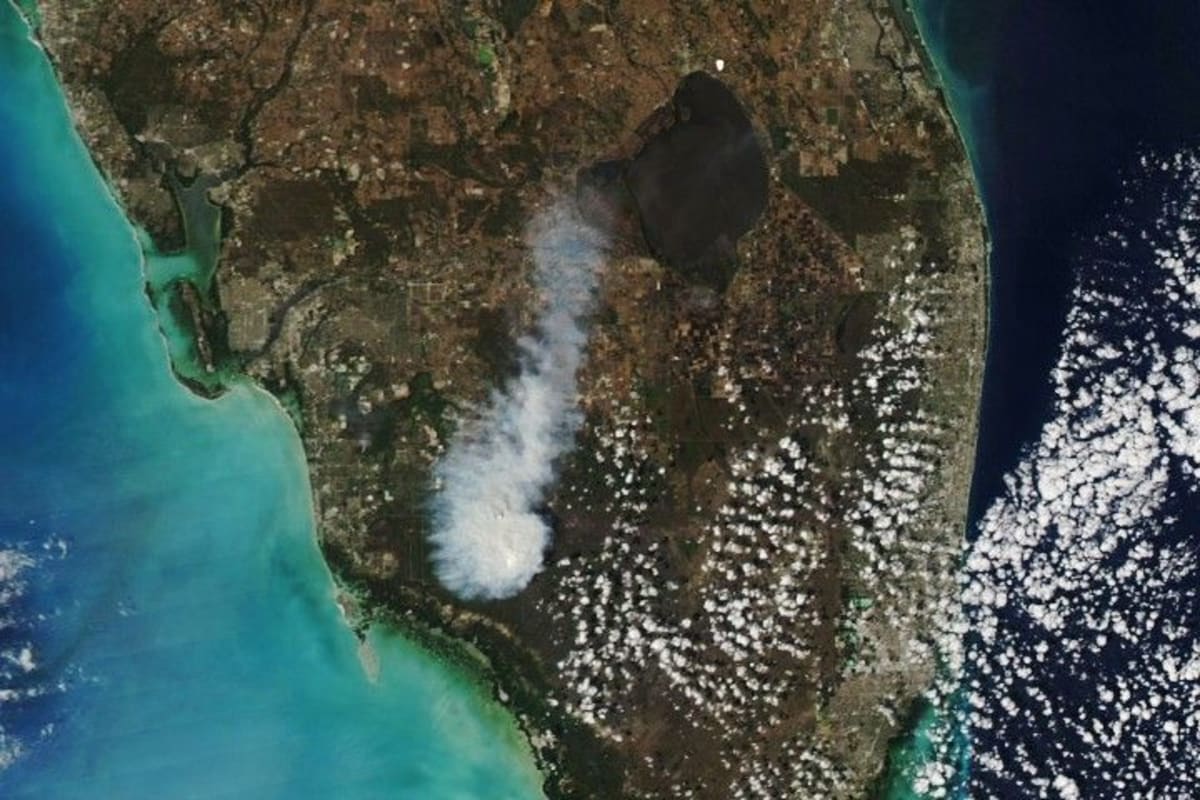
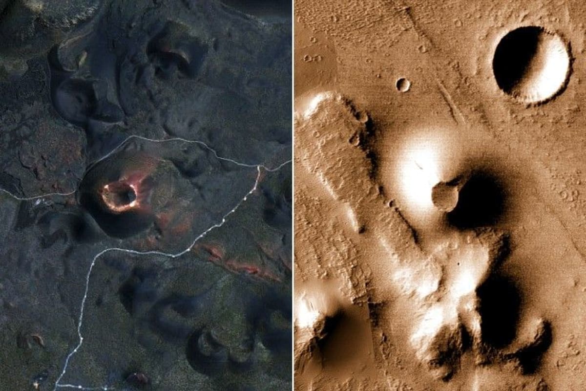
More Images

Based on reporting by NASA
This story was written by BrightWire based on verified news reports.
Spread the positivity!
Share this good news with someone who needs it