America's 906 Conservation Lands Fuel Scientific Discovery
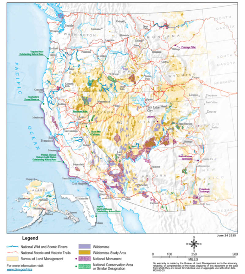
Twenty-five years after its creation, America's National Conservation Lands network has grown to 906 protected areas spanning 38 million acres, serving as vital hubs for scientific research. These landscapes are helping scientists understand everything from climate change to Indigenous land management practices.
America's public lands aren't just beautiful. They're becoming some of the most important outdoor laboratories in the world.
The National Landscape Conservation System celebrated its 25th anniversary last year, marking a quarter century of protecting over 38 million acres across 906 unique areas. What started in 2000 as a new way to safeguard America's most significant landscapes has evolved into something even more valuable: a nationwide network for scientific discovery.
The system includes 31 National Monuments, 25 National Conservation Areas, 263 Wilderness Areas, and nearly 6,000 miles of National Scenic and Historic Trails. Each site was chosen for its cultural, ecological, or scientific importance, but together they offer something greater than the sum of their parts.
Scientists from the U.S. Geological Survey and Bureau of Land Management recently identified seven ways these lands drive research forward. Protected areas serve as "control sites" where researchers can study what happens when land remains untouched by mining, drilling, or development. They also let scientists examine how recreation affects wilderness, a growing question as more Americans seek outdoor experiences.
The network's size creates unique opportunities too. Researchers can ask the same question across deserts, mountains, and prairies, understanding how geography shapes answers. The high visibility of these lands attracts top scientists and strong public interest, turning research into real-world conservation action.
One particularly exciting development involves partnering with Indigenous communities to blend traditional knowledge with modern science. These collaborations are revealing land management practices refined over thousands of years, offering insights that Western science alone might miss.
Why This Inspires
The Conservation Lands Foundation worked alongside federal agencies to grow this system from grassroots support into a national treasure. That partnership between citizens and government shows what's possible when communities insist their public lands matter.
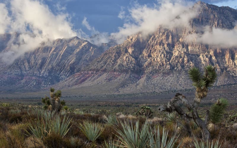
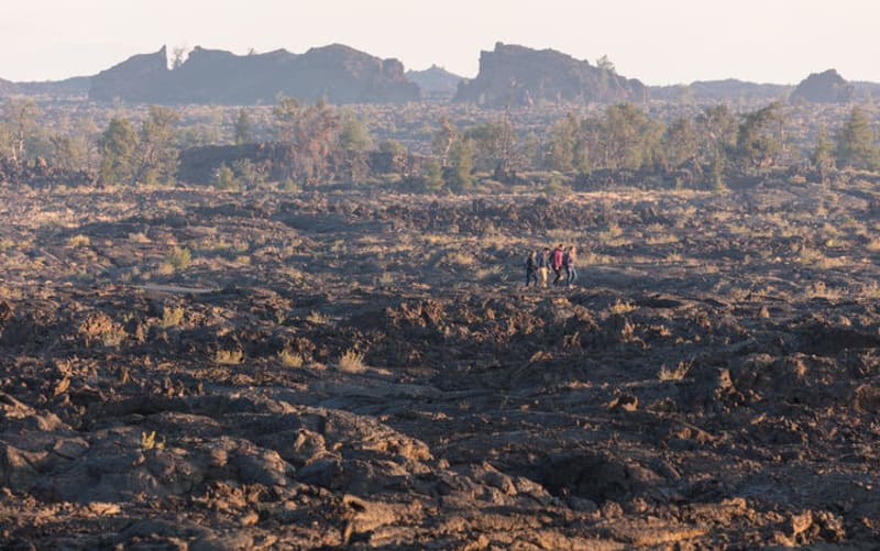
The research happening on these lands doesn't stay locked in academic journals. It informs how we manage all 245 million acres of Bureau of Land Management territory, helping protect wildlife, preserve water, and prepare for climate challenges. A study at Red Rock Canyon or Craters of the Moon can change practices across entire states.
Science plans developed for each landscape help prioritize research that managers actually need. Instead of studying whatever seems interesting, scientists focus on questions that help protect these places for future generations.
Twenty-five years of conservation has created something rare: places where nature can simply be, while teaching us how to care for everywhere else.
More Images
Based on reporting by Google: scientific discovery
This story was written by BrightWire based on verified news reports.
Spread the positivity!
Share this good news with someone who needs it