MIT's New System Sees Clearly Through Murky Ocean Waters
Engineers created underwater mapping technology that works even in cloudy, sediment-filled water by combining sonar and cameras. The breakthrough could revolutionize underwater exploration, construction, and safety operations.
Underwater robots just gained a superpower that dolphins have used for millions of years.
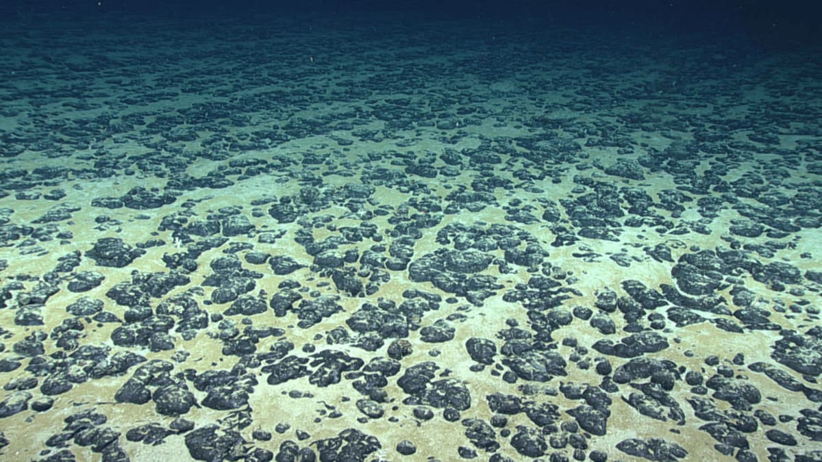
Engineers at MIT and Woods Hole Oceanographic Institution developed a system that lets underwater vehicles see clearly through murky, sediment-filled water. When robots dig through sand or settle on the seafloor, they kick up clouds that blind their cameras, forcing operations to halt until the water clears.
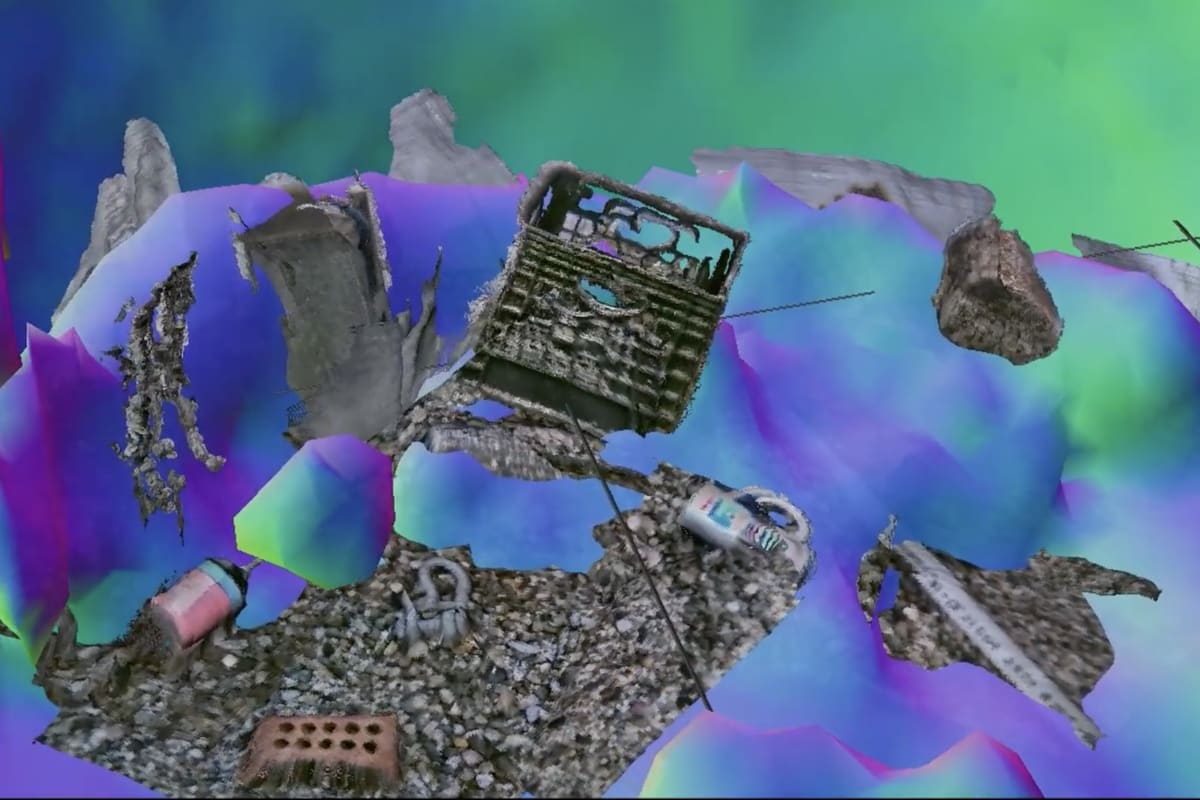
The new technique, called Sonar-MASt3R, solves this problem by combining two different ways of seeing underwater. It pairs sonar sensors that map the general shape of surroundings with optical cameras that capture fine details up close.
Think of it like giving a robot both a dolphin's echolocation and a sea turtle's close-range vision. The sonar creates a broad map even in cloudy conditions, then guides the vehicle close enough for cameras to capture clear, detailed images.
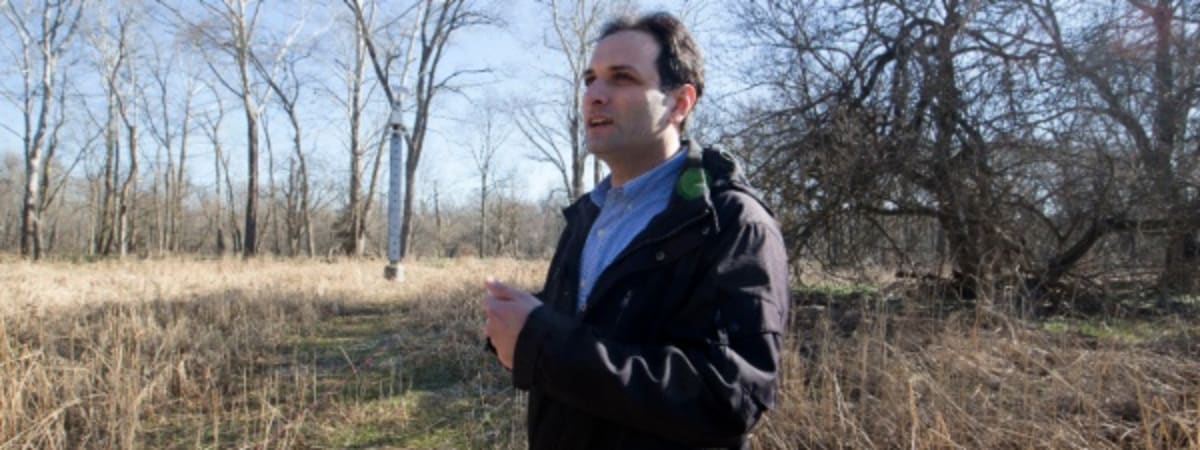
Graduate student Amy Phung led the research team that tested the system in controlled tank experiments. They deliberately clouded the water with sediment to simulate the toughest real-world conditions.
Even in the murkiest water, Sonar-MASt3R mapped environments in real time and captured details as small as a centimeter. Previous techniques required extensive processing time and couldn't handle turbid conditions or create detailed 3D maps on the fly.
The team presented their findings this week at the IEEE International Conference on Robotics and Automation. They're now working to refine the technology for real-world applications.
The Ripple Effect
This breakthrough could transform multiple underwater industries. Scientists exploring the deep sea will no longer need to wait for sediment to settle before continuing their work, dramatically speeding up research missions.
Underwater construction and maintenance crews will gain safer, more efficient tools for inspecting and repairing infrastructure like bridges, pipelines, and offshore platforms. The technology could prove especially valuable for locating and safely recovering unexploded underwater mines, a dangerous task that currently requires exceptional visibility.
The system works by processing both types of data simultaneously, creating comprehensive 3D maps that combine sonar's all-weather reliability with cameras' visual detail. This fusion approach represents a fundamental shift from the traditional either-or choice between sonar and optical systems.
Phung says the goal is enabling operations in challenging environments that are difficult or impossible to work in today. The technology could open vast new areas of the ocean to exploration and development while improving safety for both human divers and robotic vehicles.
The ocean covers 70 percent of Earth's surface, yet remains largely unexplored partly because visibility challenges limit where vehicles can safely operate. This new system could help change that, bringing clarity to waters that have remained frustratingly opaque.
Based on reporting by MIT News
This story was written by BrightWire based on verified news reports.
Spread the positivity!
Share this good news with someone who needs it