Morocco Launches Satellite to Fight Climate Change
Morocco just launched a high-resolution satellite that can spot environmental threats from space, giving the country a powerful new tool to prevent disasters and protect forests. The technology allows authorities to respond faster to fires, earthquakes, and deforestation before they become catastrophes.
Morocco just put eyes in the sky that can see a toolbox from orbit, and it could change how the country protects its environment.
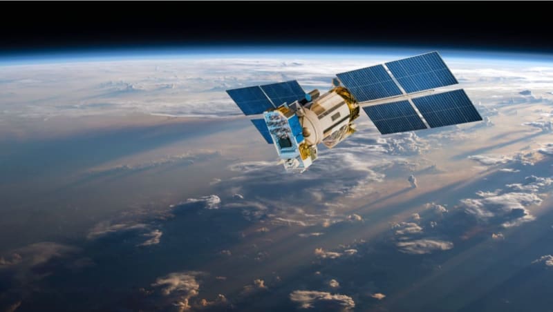
On November 20, Morocco launched Mohammed VI-B, a new observation satellite that captures incredibly detailed images of the Earth below. The satellite lifted off from French Guiana and now monitors everything from forest fires to coastal changes across North Africa.
The technology is sharper than most people realize. With a resolution of 30 centimeters, the satellite can identify individual trees, spot illegal logging trucks, and count wildlife in open areas. That level of detail means authorities can catch environmental crimes before they spiral out of control.
Morocco desperately needs this capability. The country's 9 million hectares of forest support 7 million people and contribute significantly to the economy. But these forests are disappearing fast, with fires alone responsible for 64% of tree cover loss since 2001.
Traditional ground surveys simply can't keep up with the pace of environmental change. By the time inspectors reach remote areas on foot, illegal logging operations have already moved on. Satellite imagery changes that equation entirely.
The system already proved its worth after the devastating earthquake in Morocco's High Atlas Mountains. Satellite images revealed that nearly every building in remote villages like Tafeghaghte had collapsed. The images even showed that mud brick homes had crumbled into fine rubble rather than leaving air pockets, crucial information for rescue teams trying to save lives.
The Ripple Effect
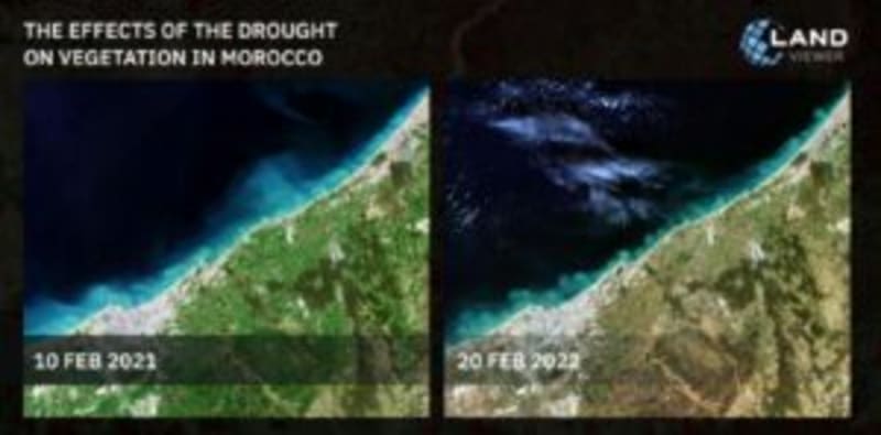
The satellite does more than just watch for disasters. It tracks moisture levels in forests to detect drought stress weeks before trees start dying. It verifies whether restoration projects actually work by checking if planted trees survive. It shows exactly how roads and development fragment ecosystems, helping planners protect wildlife corridors.
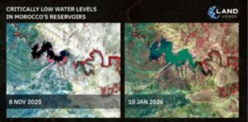
Cities benefit too. Urban planners can now assess bridge safety by analyzing traffic patterns, predict flood risks, and track green space to ensure residents have access to parks. Morocco's reservoirs are already being monitored for water levels, helping the country manage its resources during severe droughts.
The satellite gives Morocco something priceless: the ability to see problems forming before they become disasters, from a single illegal campfire that could spark a wildfire to gradual forest thinning that signals ecosystem collapse.
What was once invisible is now crystal clear, and that clarity is saving lives and forests.
More Images
Based on reporting by Morocco World News
This story was written by BrightWire based on verified news reports.
Spread the positivity!
Share this good news with someone who needs it