New Fire Satellites Promise Faster Amazon Wildfire Alerts
Three new satellites launched this month could revolutionize how firefighters track and respond to wildfires across the Amazon rainforest. The technology offers hope after record blazes devastated South America in 2024, though experts say better data alone won't solve the crisis.
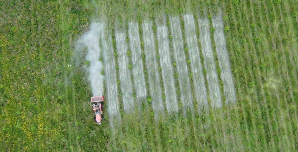
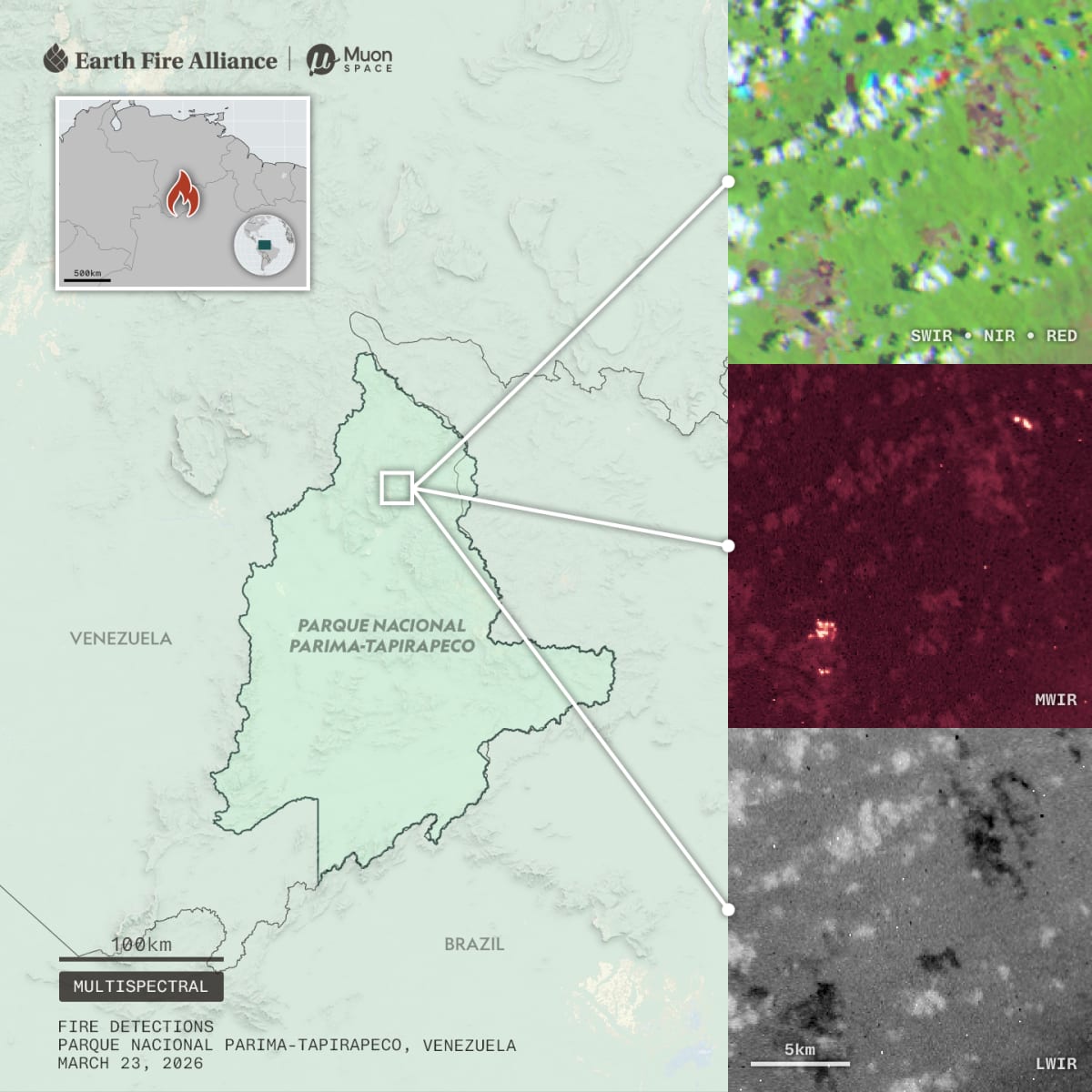
Imagine spotting a wildfire when it's barely the size of a bedroom, not a football field. That's the game-changing promise of three satellites launched in early July by nonprofit Earth Fire Alliance.
The new satellites arrive just in time. Record wildfires tore through South America in 2024, burning areas that had never seen flames before. The thick smoke grounded flights, closed schools, and caused lasting health problems across the continent.
Current satellite systems force firefighters to make a tough choice. They can get clear images every two weeks or blurry snapshots several times a day. It's like trying to track a racing car with either a great camera that takes one photo per lap or a bad camera that shoots constantly.
FireSat changes that equation. By 2029, the system plans to deliver crystal-clear images every hour, showing fires as small as 16 feet across. That's 75 times sharper than today's most frequent satellite scans, which can only spot fires once they've grown to a quarter-mile wide.
The timing matters deeply. El Niño weather patterns will likely bring more droughts and intensified fires to the Amazon basin through 2027. Fire season is already beginning across the continent.
Ricardo Abad works with Indigenous communities in Brazil's Xingu Basin to monitor illegal fires. "We can't predict where the fire is going to be," he explains. "But if we can monitor it with very high temporal resolution, that gives us more time for response."
The satellites have another superpower: seeing through smoke and clouds. Tropical rainforests often hide under thick cloud cover, making current systems nearly blind. FireSat's specialized sensors can peer through the haze to spot smoldering fires that older technology completely misses.
The Ripple Effect
The Bezos Earth Fund invested $26 million in the program, betting it could reduce global wildfire emissions by 5 to 10 percent yearly. That's a massive potential impact on climate change, since wildfires pump enormous amounts of carbon into the atmosphere.
Indigenous communities across the Amazon already use satellite internet to receive fire alerts quickly. The new system could transform those alerts from vague warnings into precise coordinates, helping local fire brigades deploy exactly where they're needed most.
But experts urge caution about seeing satellites as a silver bullet. Manoela Machado, who studies Amazon fires at Oxford University, points out that raw data means nothing without equipment, training, and infrastructure on the ground. "If we don't transform that raw data into something actionable that is easy to interpret and timely, then it's almost pointless," she says.
Earth Fire Alliance knows this. They're designing their system to be simple and accessible, skipping the complex software that makes current NASA data hard for remote communities to use.
The satellites are still being tested and calibrated, but early adopters will gain access within months. By 2030, the nonprofit plans to have about 50 satellites orbiting Earth, creating a global safety net against wildfires.
For park rangers and Indigenous fire brigades preparing for another brutal fire season, those satellites represent something precious: a fighting chance to protect forests before small fires become catastrophes.
More Images


Based on reporting by Mongabay
This story was written by BrightWire based on verified news reports.
Spread the positivity!
Share this good news with someone who needs it