Scientists Map 148,000 km² of Seagrass to Save Ocean Meadows
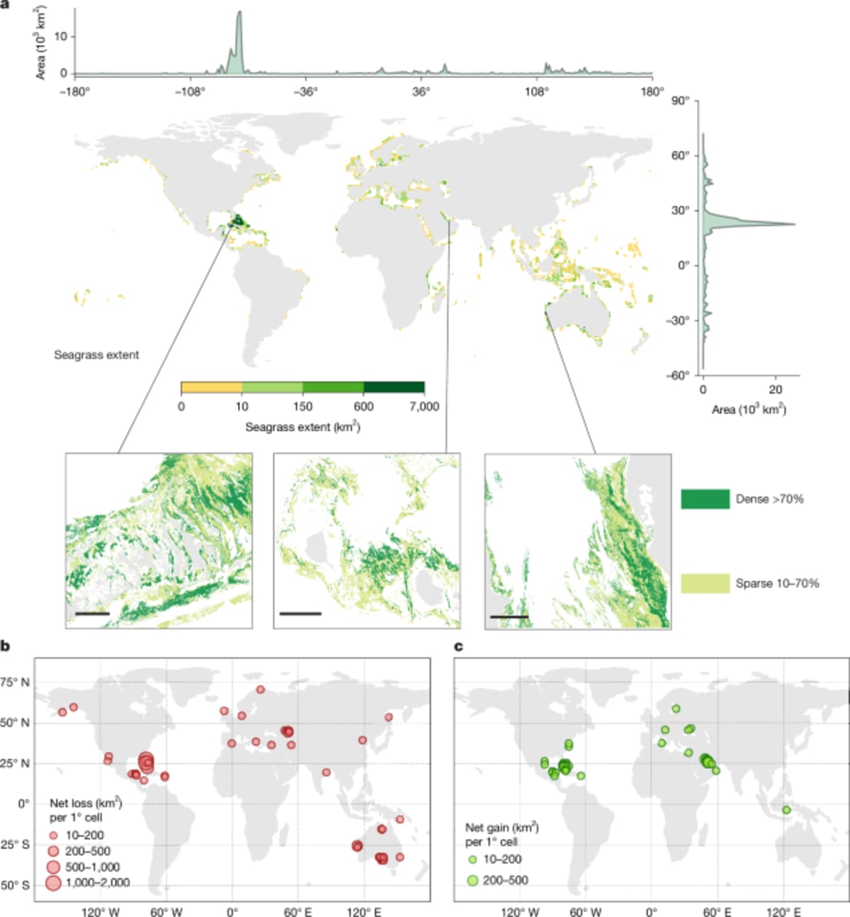
Researchers created the first detailed global map of seagrass meadows using satellite imagery, revealing 148,506 square kilometers of these vital ocean ecosystems. The discovery gives conservationists a powerful new tool to protect underwater forests that fight climate change and support coastal communities.
Scientists just completed the most detailed map of ocean seagrass ever made, and it's already showing where we need to focus our conservation efforts.
Using 4.75 million satellite images, researchers identified nearly 150,000 square kilometers of seagrass meadows in shallow coastal waters around the world. That's roughly the size of Greece hiding beneath the waves, supporting fish populations, protecting shorelines, and storing carbon from the atmosphere.
The team analyzed images from 2019 to 2024, creating maps so detailed they can spot seagrass patches as small as a backyard swimming pool. They found that five countries hold 69% of the world's seagrass: The Bahamas, Cuba, the United States, Australia, and Indonesia.
Here's where the map gets powerful. Only 21% of these underwater meadows currently sit inside protected marine areas, meaning most remain vulnerable to damage from boats, pollution, and coastal development.
The study revealed some losses, with 4% of seagrass disappearing over the four-year period. But now that scientists know exactly where these meadows are, countries can target conservation efforts where they'll make the biggest difference.
The Ripple Effect
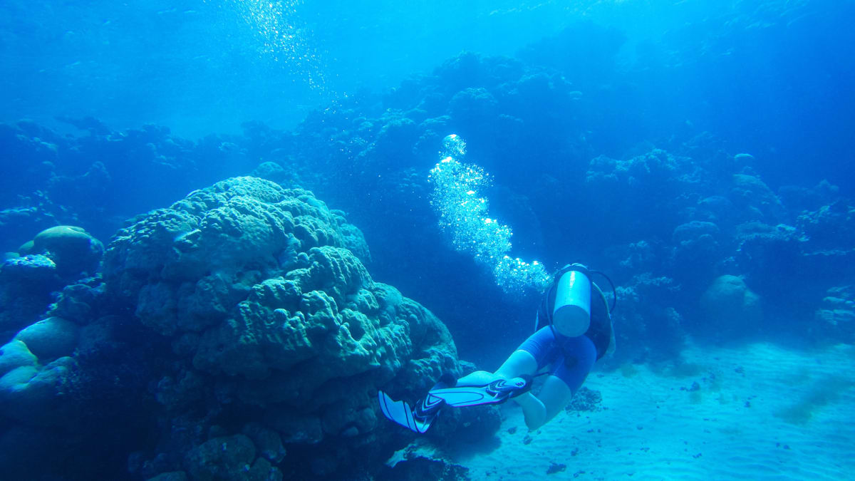
Seagrass meadows punch above their weight in supporting ocean health. These underwater plants provide nurseries for fish that feed millions of people. They trap sediment and slow waves, protecting coastal communities from storms and erosion.
Perhaps most importantly, seagrass stores carbon in the seafloor faster than rainforests do on land. When seagrass dies or gets destroyed, that stored carbon releases back into the atmosphere, contributing to climate change.
The new maps are free for anyone to access online through the Allen Coral Atlas. Marine biologists, coastal planners, and conservation groups can now see exactly where seagrass grows in their regions and track changes over time.
Countries developing climate action plans now have hard data showing where protecting seagrass will deliver the most benefit. Communities planning coastal development can route projects around critical seagrass beds.
The research team used artificial intelligence to train computers to recognize seagrass in satellite photos, a breakthrough that made mapping the entire planet possible. Previous seagrass maps relied on scattered local surveys and rough estimates.
Scientists can now update these maps regularly, catching problems early when restoration efforts have the best chance of success.
This kind of precision mapping transforms seagrass from an overlooked ecosystem into one we can actively monitor and protect, giving these ocean meadows a fighting chance.
More Images

Based on reporting by Nature News
This story was written by BrightWire based on verified news reports.
Spread the positivity!
Share this good news with someone who needs it