Scientists Map Malaria After Floods to Save Lives
Researchers in South Africa are using satellite data to predict malaria outbreaks after floods, helping vulnerable communities prepare before the disease spreads. Their work could transform how disaster relief protects millions across southern Africa.
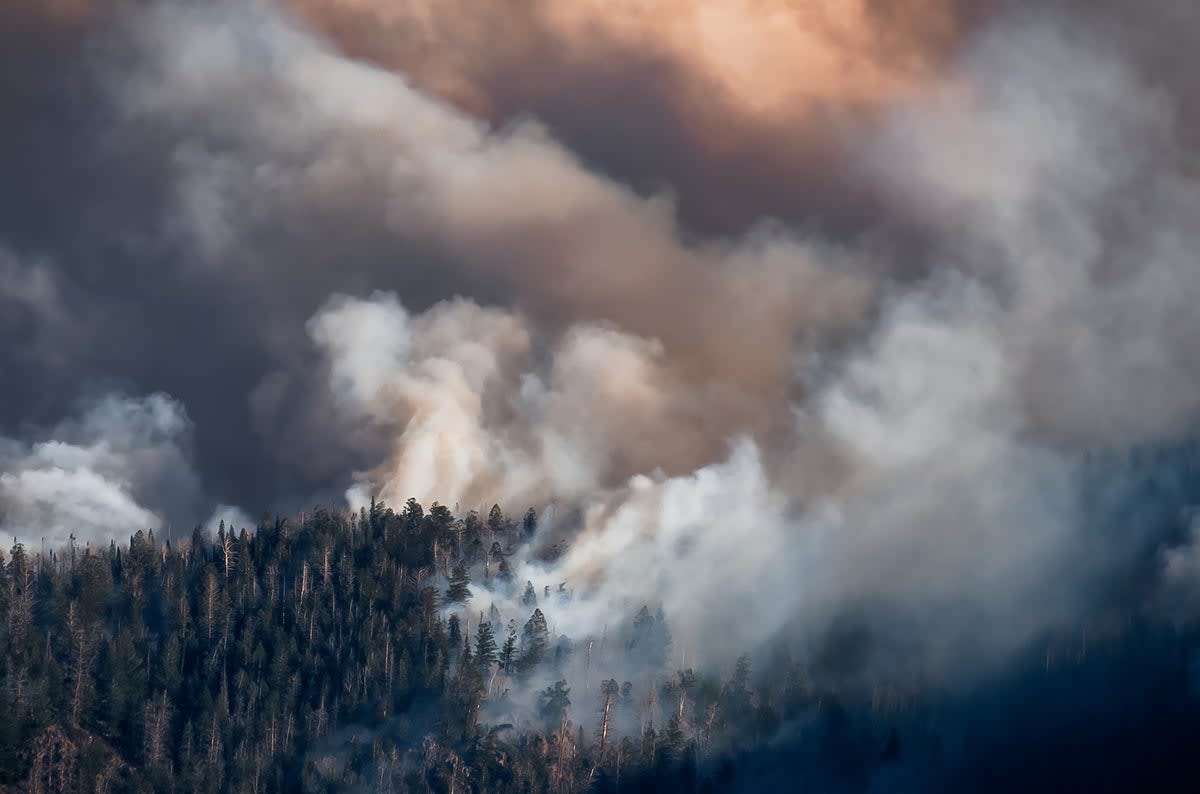
When floodwaters recede in southern Africa, a hidden threat emerges weeks later in the standing pools left behind. Scientists at the University of Pretoria have found a way to see it coming.
The Remote Sensing for Malaria Control in Africa program uses satellites to track environmental changes that create perfect breeding grounds for malaria-carrying mosquitoes. By monitoring rainfall patterns, surface water, and temperature changes, researchers can now predict where malaria will strike before outbreaks begin.
The timing matters more than most people realize. Malaria cases typically surge three to six weeks after floods, long after media attention fades and emergency crews leave. Families are rebuilding homes and trying to recover lost income when the disease hits hardest.
The system helps health officials act faster. Instead of waiting for sick patients to arrive at clinics, workers can distribute bed nets, medicines, and diagnostic tests to high-risk areas before mosquitoes multiply. Early intervention means fewer severe cases, especially among children and pregnant women who face the greatest danger.
The stakes are enormous across the region. Last year, 282 million people contracted malaria worldwide, with 95% of cases occurring in Africa. The disease costs the continent around $12 billion annually in lost productivity and healthcare expenses.
Climate change is making the challenge harder. Extreme rainfall and flooding are becoming more frequent across southern Africa, giving communities less time to recover between disasters. The poorest families, who often live in low-lying areas near rivers, face repeated cycles of displacement and disease.
Why This Inspires
This research transforms how we think about disaster response. Instead of treating floods and disease as separate emergencies, scientists are connecting the dots to protect people more effectively.
The satellite technology turns data into action at exactly the right moment. Health workers gain precious weeks to prepare, distribute supplies, and educate communities before mosquitoes emerge. For families already stretched thin by flood damage, early prevention means avoiding the devastating costs of severe malaria treatment.
The program also reveals something powerful about scientific innovation. Complex technology like satellite imaging becomes most meaningful when it serves the people who need it most. Every malaria case prevented is a child who stays in school, a parent who keeps working, a family that breaks the cycle of poverty and illness.
As floods become more common, this early warning system offers a blueprint for protecting vulnerable communities across Africa and beyond.
More Images


Based on reporting by Medical Xpress
This story was written by BrightWire based on verified news reports.
Spread the positivity!
Share this good news with someone who needs it