Divers Map Hidden Caves Beneath Mount Gambier Streets
A team of Australian cave divers is using action cameras to create stunning 3D maps of underwater caves that wind beneath city streets and homes. Their technology is making dangerous dive sites safer while giving the public a rare glimpse into a hidden world.
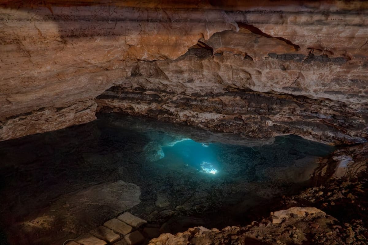
Beneath the streets and houses of Mount Gambier, Australia, lies a secret network of underwater caves that few people will ever see in person.
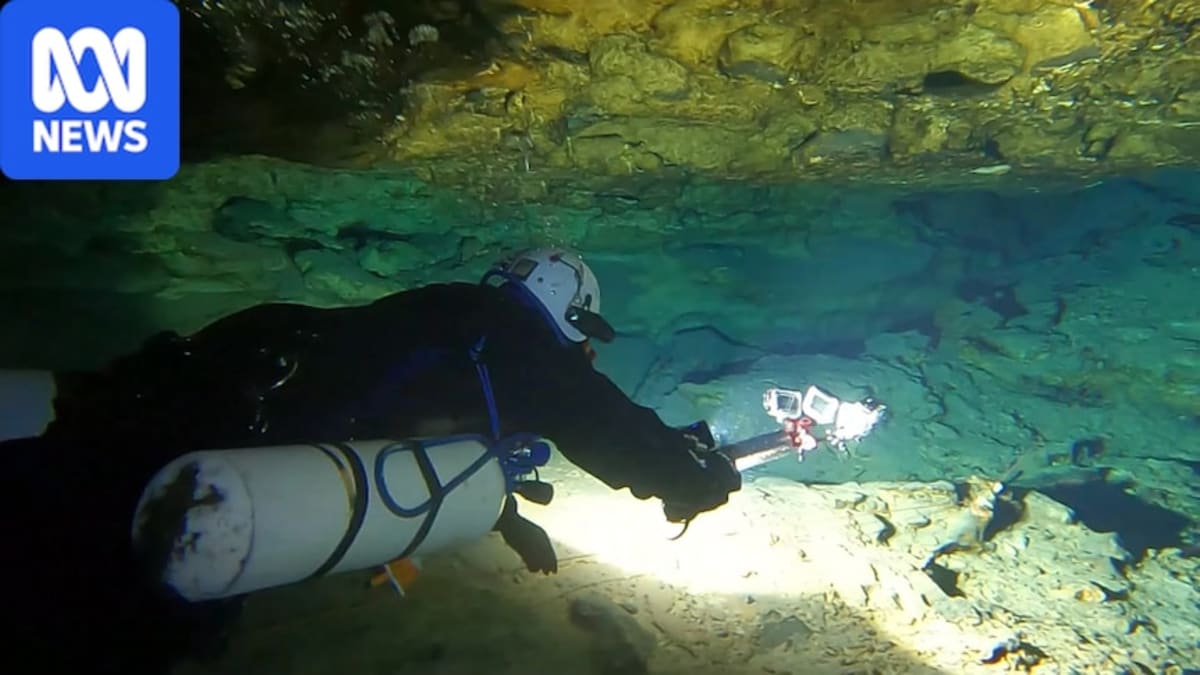
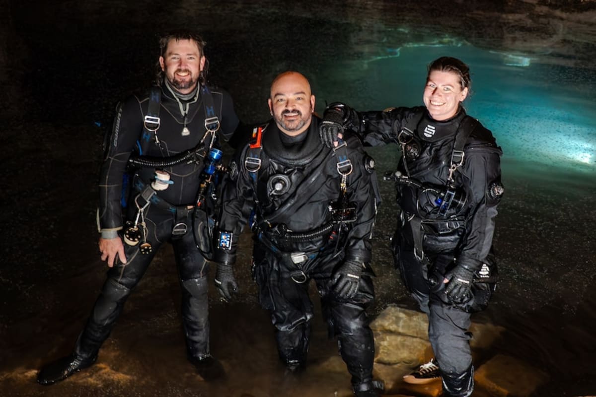
Now, a team of cave divers called the Soggy Wombats is changing that. Advanced diver Will Passos and his crew are using four action cameras and specialized software to create detailed 3D maps of these hidden underwater passages.
"I really want to be able to tell people what's under their houses," Passos said. The new maps show exactly how the tunnels weave beneath the city's streets, bringing an invisible wonder to life for residents above.
The technology is surprisingly simple. Passos straps four cameras to a rig, sets them to snap photos every second, and adds plenty of lights. After diving through the caves, computer software stitches thousands of images together into accurate 3D models.
It's a massive leap from the primitive methods used decades ago. Ian Lewis, who has been cave diving for 50 years, remembers the early days when divers would take measuring tapes and waterproof compasses underwater, writing notes with pencils and sketching maps by hand on graph paper afterward.
The new mapping technology started as a personal project but has already made real discoveries. While creating a model of Pines Cave near Tantanoola, the team spotted something odd in the digital scan. When they investigated, they found an entirely new cave extension no one knew existed.
The Ripple Effect
The maps are now helping divers stay safer at these sites, with information freely available through the Cave Divers Association of Australia website. What started as a local effort in South Australia could soon spread worldwide.
Passos has his sights set on unmapped cave systems across Asia. "When you look overseas, like Thailand, Laos, even Japan, there's nothing," he said. He wants to create the first detailed maps of these unexplored underwater worlds.
The technology isn't new, Passos admits. Construction companies have used similar photogrammetry techniques for a century. But taking it underwater to map dangerous cave systems? That's where innovation meets adventure.
Lewis, the veteran diver who once mapped caves with pencil and paper, is thrilled to see the next generation pushing boundaries. "Will and the others are really at the cutting edge of all of this," he said.
Passos is now exploring ways to share these digital caves with the public through animations and videos, turning hidden geological wonders into experiences anyone can explore from their phone.
More Images

Based on reporting by ABC Australia
This story was written by BrightWire based on verified news reports.
Spread the positivity!
Share this good news with someone who needs it