Scientists Map Grand Canyon's Hidden Water Lifeline
Researchers created the first 3D maps of hidden caves that supply water to millions of Grand Canyon visitors each year. The breakthrough helps protect this critical water source as climate change threatens its future.
Every year, millions of thirsty Grand Canyon visitors refill their water bottles at dozens of spigots across the park, never knowing their water comes from a single hidden spring deep in the North Rim. Now scientists have unlocked the secrets of how that water reaches them.
Researchers at Northern Arizona University just completed the first detailed 3D maps of Roaring Springs and other cave systems that feed the Grand Canyon's entire water supply. The spring provides water for everything in the canyon: hikers escaping punishing heat, wildlife, plants, and all park infrastructure.
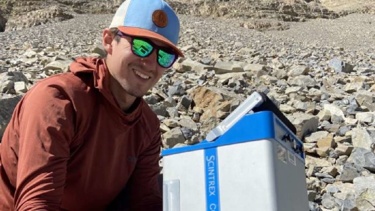
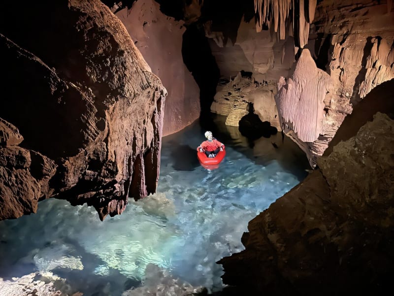
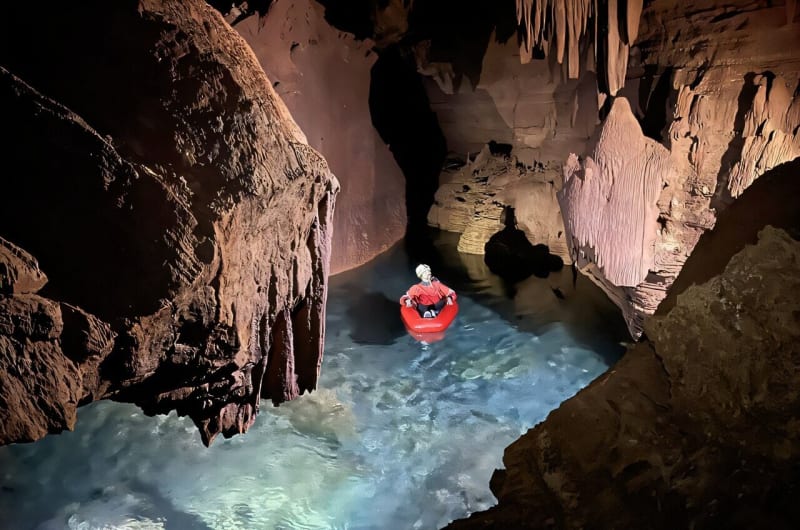
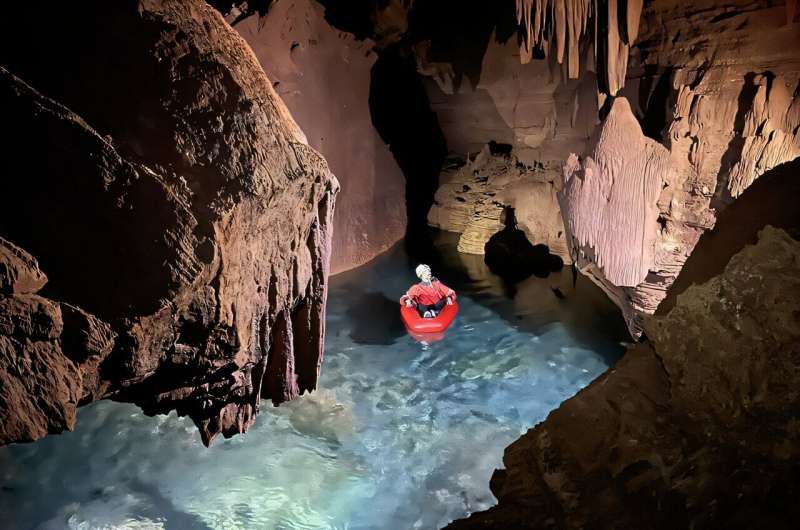
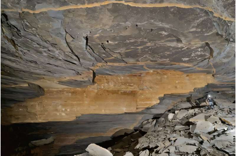
Ph.D. student Blase LaSala and his team hiked up to two days each way carrying 55-pound packs of specialized lidar equipment. They rappelled through tight passages and floated through flooded chambers to document over six miles of underground caves in just 45 days. The detailed scans captured every crack, wall, and ceiling pattern.
"I had no idea how large and long these caves are," said professor Temuulen Sankey, a remote sensing expert. "Grand Canyon's caves have never been mapped in 3D like this."
The maps revealed something surprising. Water from snowmelt on the Kaibab Plateau races through limestone layers like Swiss cheese, traveling 12 miles to reach springs in as little as one week. That speed is both a blessing and a risk.
The Bright Side
Understanding these underground highways means park officials can now predict and prevent contamination before it reaches drinking water. If runoff from wildfires or bacteria flows into sinkholes connected to Roaring Springs Cave, rangers can identify the source and stop it quickly instead of shutting down water supplies for extended periods.
The research team is already expanding their work. Starting in early 2026, they'll use airborne lidar and four decades of satellite data to map surface sinkholes and track snowmelt patterns across both sides of the canyon. This larger picture will show exactly how climate change affects water availability.
The springs function as desert oases in one of America's most iconic landscapes. "Understanding where the water sinks is critical for the infrastructure, the animals, the plants and the rest of the ecosystems that rely on these springs," LaSala said.
Their findings, published in Scientific Reports, transform what was once a "black box" into a clear picture of how water sustains life in the Grand Canyon. For the 4.7 million people who visit each year, that knowledge means their water source stays protected for generations to come.
More Images
Based on reporting by Phys.org - Earth
This story was written by BrightWire based on verified news reports.
Spread the positivity!
Share this good news with someone who needs it